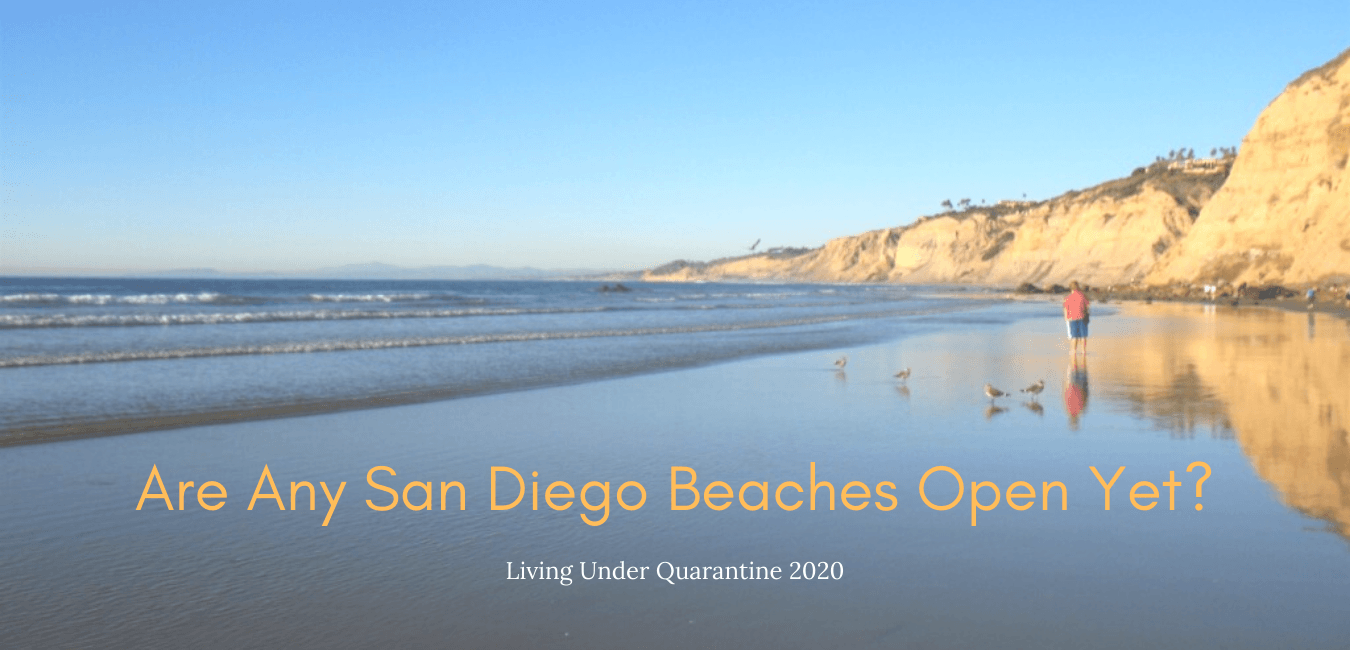
San Diego, otherwise known as “America’s Finest City,” has one of the most beautiful coastlines, if I may dare say, in the world. According to the San Diego Tourism Authority, over 35 million people visited San Diego in 2018 and 36.5 million in 2019. I am afraid to see the numbers for 2020, but I digress. One of my favorite things to do on this website is introduce you all to the many, many San Diego hidden gems. I will be the first to admit that I am biased as I have been exploring the San Diego coastline for over thirty-five years. So today, I would like to share with you a few more, in fact, five more San Diego Hidden Gems, so you too can experience San Diego as a native.
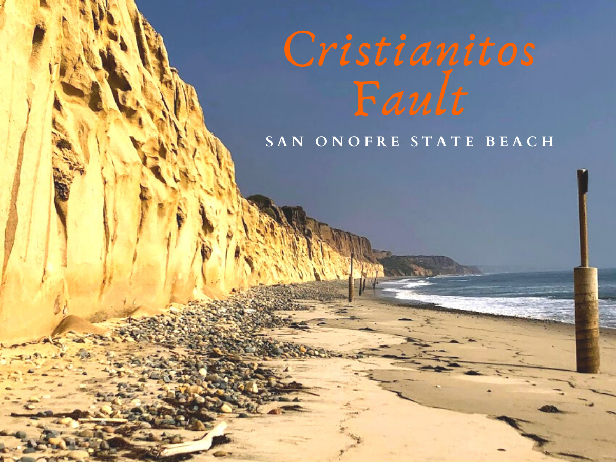
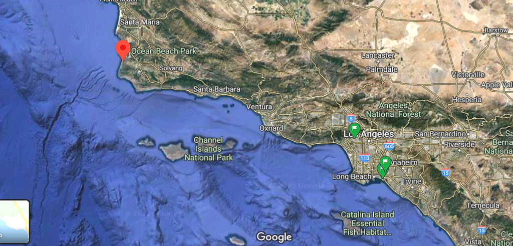
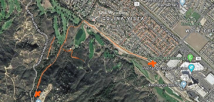
When I say San Diego, I refer to the entire 70 miles of the San Diego coast. From San Onofre State Beach down to the US/Mexico border, the coast of San Diego has something for everyone!
Let us now take a look, shall we?
#Click on any photo in the gallery to view a larger image
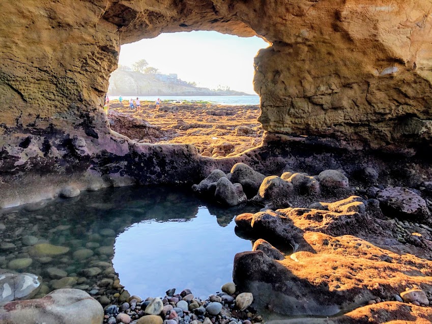
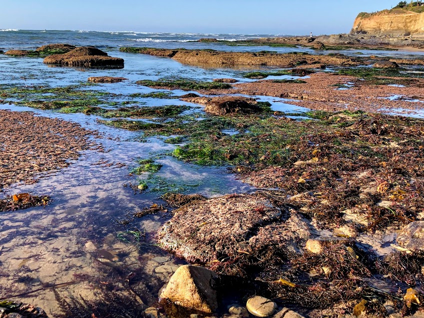
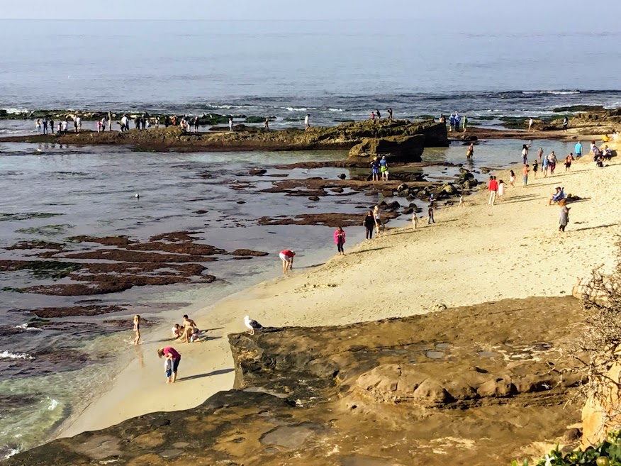
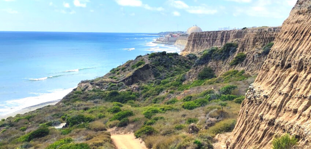
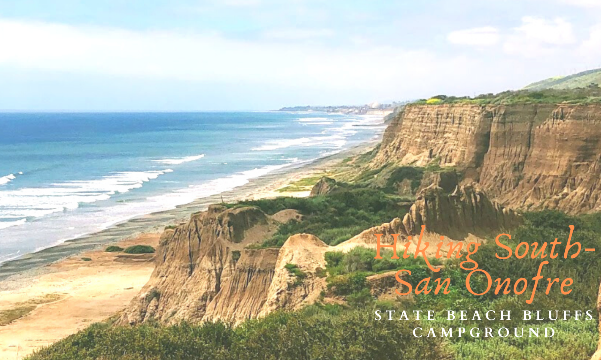
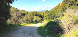
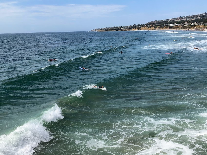
Old Man’s Beach at San Onofre State Beach
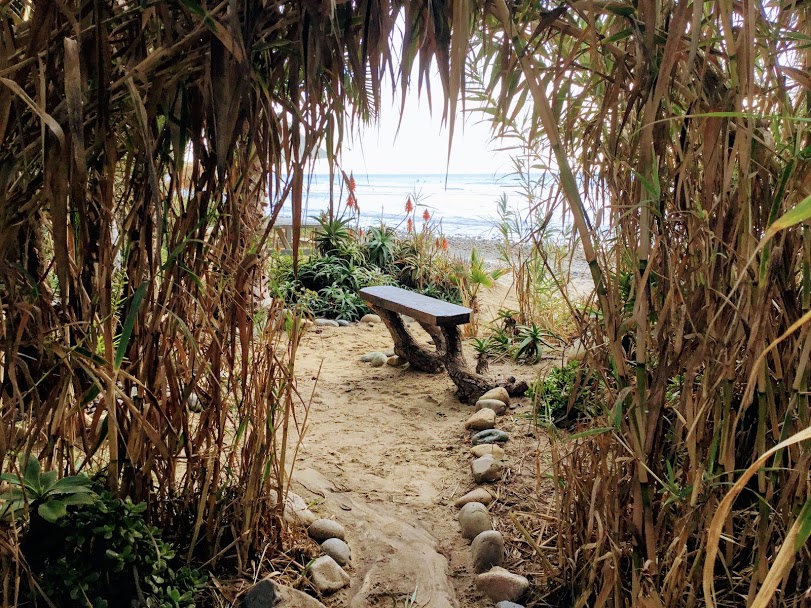

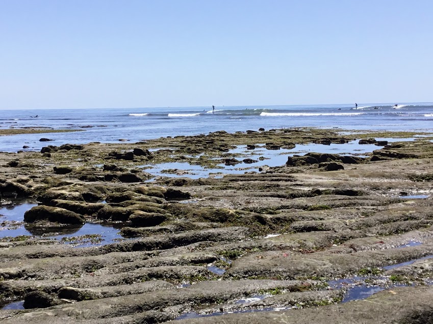
I wasn’t sure if I would share this little gem because this has been my little secret for years, but here we go. Old Man’s Beach is one of my favorite places at San Onofre State Beach, and locals refer to this beach as San O and San Onofre Surfing Beach.