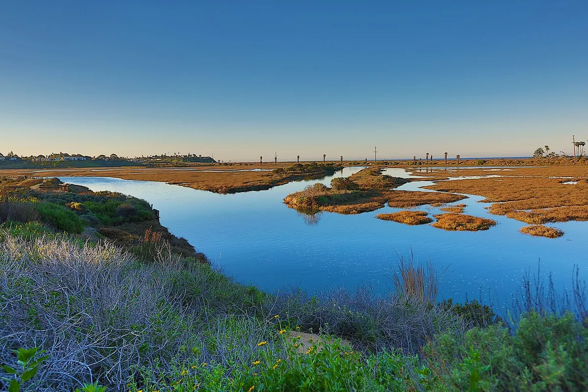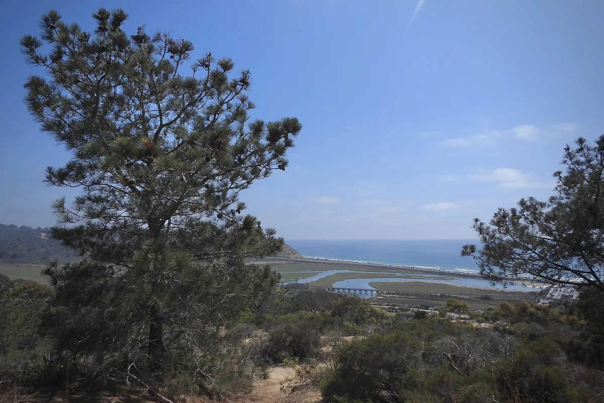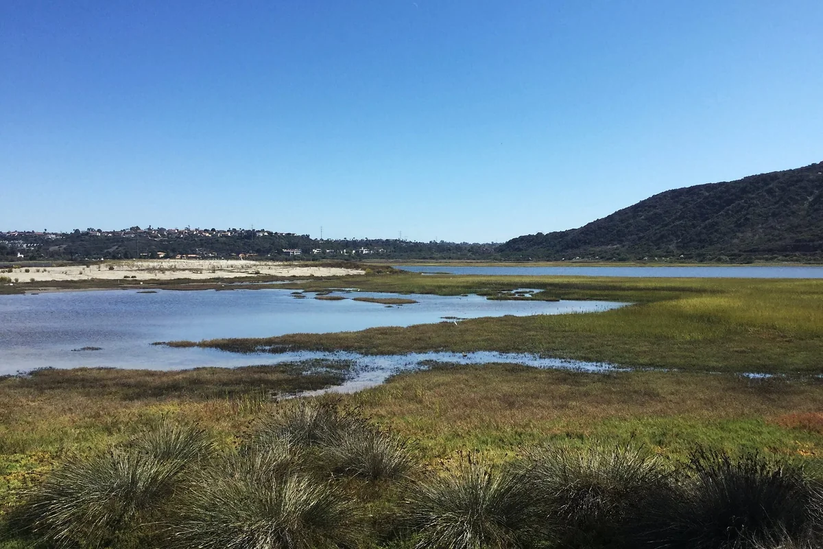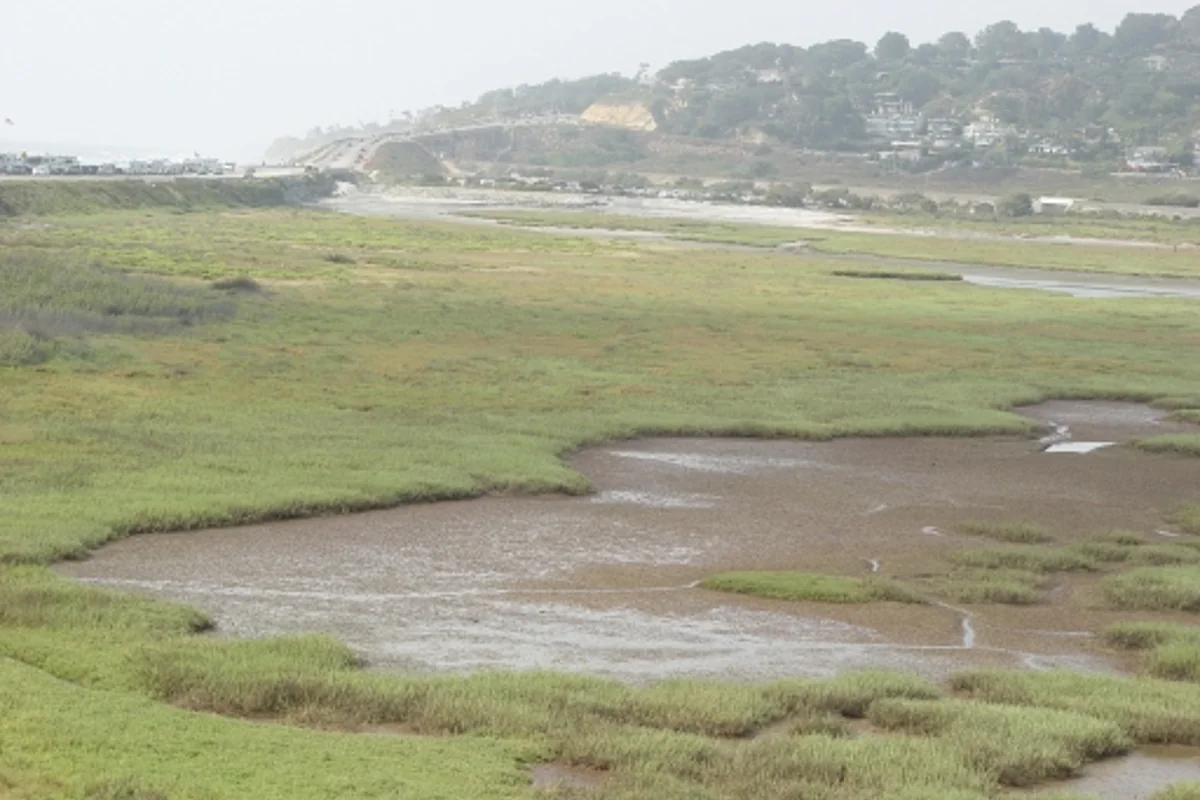
Natural lagoons along San Diego's coast are wetland landscapes shaped by freshwater arriving from land and the influence of the Pacific. They are not simply small lakes beside a beach. Los Peñasquitos Lagoon, behind Torrey Pines State Beach, is a useful place to understand the difference: the protected marsh supports habitat, receives drainage from a large watershed and offers only limited public access around its edges.
This page explains the landscape and focuses on Los Peñasquitos. If you are choosing between visitor centers and trail systems, use the separate San Diego lagoons and nature centers guide. That distinction helps keep a nature lesson from becoming an overambitious driving itinerary.
Lagoon, estuary or lake?
An estuary is a coastal setting where land-based freshwater meets marine influence. “Lagoon” often describes the shallow coastal water body behind a beach or barrier. The terms can overlap in these local landscapes. A freshwater reservoir or inland lake is a different environment, even when a travel search groups all of them together.
That distinction matters for visitors. A lagoon's open water does not establish swimming, boating or fishing access. A protected marsh may be best experienced from an upland trail, a viewing area or a nature-center program. Searching “lagos en San Diego” may produce a mix of lakes and lagoons; verify which kind of outing each result actually offers.
Los Peñasquitos Lagoon: the protected landscape
The Los Peñasquitos Lagoon Foundation describes the lagoon as a State Marsh Natural Preserve within Torrey Pines State Natural Reserve, owned and managed by California State Parks. Its account identifies a coastal estuary receiving drainage from Carmel Valley, Los Peñasquitos Canyon and Carroll Canyon.
That means the marsh is connected to a much larger landscape than the water you can see from the coast. What happens upstream affects the wetland. It is useful to look inland as well as toward the beach when trying to understand the site: roads, neighborhoods, channels and higher ground are all part of the watershed story.
Where visitors belong
The San Diego Natural History Museum's wetland account describes public access at the periphery and identifies the marsh interior as protected, sensitive habitat. Do not wander across vegetation, enter channels or assume an exposed muddy area is a trail. The absence of deep water does not make the marsh floor suitable for walking.
Use current State Parks information and signs to choose a lawful viewpoint or trail. The reserve's official brochure helps explain the relationship among marsh, beach and uplands, but route conditions and closures require a fresh check. Avoid treating a continuous line on a map as evidence that you can circle the whole lagoon.
What to look for from the edge
Notice the transition from water to marsh plants to drier ground. These edges can be more revealing than one wide photograph. Water levels and visible channels change, so an area that looks dry during one visit may appear quite different on another.
Bird watching is one reason to bring binoculars. The Foundation identifies the lagoon as a refuge for migratory birds using the Pacific Flyway. That is a habitat role, not a guarantee that a particular bird will be visible when you arrive. Stay back, let animals use their space and enjoy common species rather than chasing a checklist into closed habitat.
Natural does not mean unchanged
San Diego's lagoons sit within developed watersheds, and protection often includes active management. Roads and other infrastructure around Los Peñasquitos help illustrate why a natural wetland can still face human pressures. A protected designation is not evidence that the site has been untouched.
Likewise, restoration is not a sign that a wetland is artificial or unimportant. The Carlsbad account of Batiquitos Lagoon describes a major enhancement project that restored an ocean connection. Understanding that history helps visitors see conservation as continuing work rather than a one-time decision to draw a boundary.
Pairing the lagoon with a Torrey Pines visit
Keep the marsh observation and any reserve hike as separate route decisions. Do not assume a beach visit, upland trail and lagoon walk can all be joined without roads, access restrictions or additional distance. Choose one main goal and add another only after checking the current map and your group's energy.
The Torrey pine identification guide adds the upland plant story. For a more visitor-center-oriented outing, compare San Elijo or the Carlsbad choices in the companion lagoon guide. Each has its own rules, so transfer your careful observation habits, not assumptions about access.
Plan a low-impact visit
Carry water, sun protection and a saved official map. Wear shoes suitable for the legal route, leave marsh mud and vegetation undisturbed, and choose another day if wet conditions or a closure affect access. Photography, sketching and quiet bird watching need very little beyond a good place to stand.
For tides, rain and coastal notices, use our resources page. The most valuable result of a lagoon visit is learning to recognize a functioning wetland, including the parts that people should admire without entering.
Sources & further reading
Official information and references for this guide. Check the source for current access, rules and conditions.