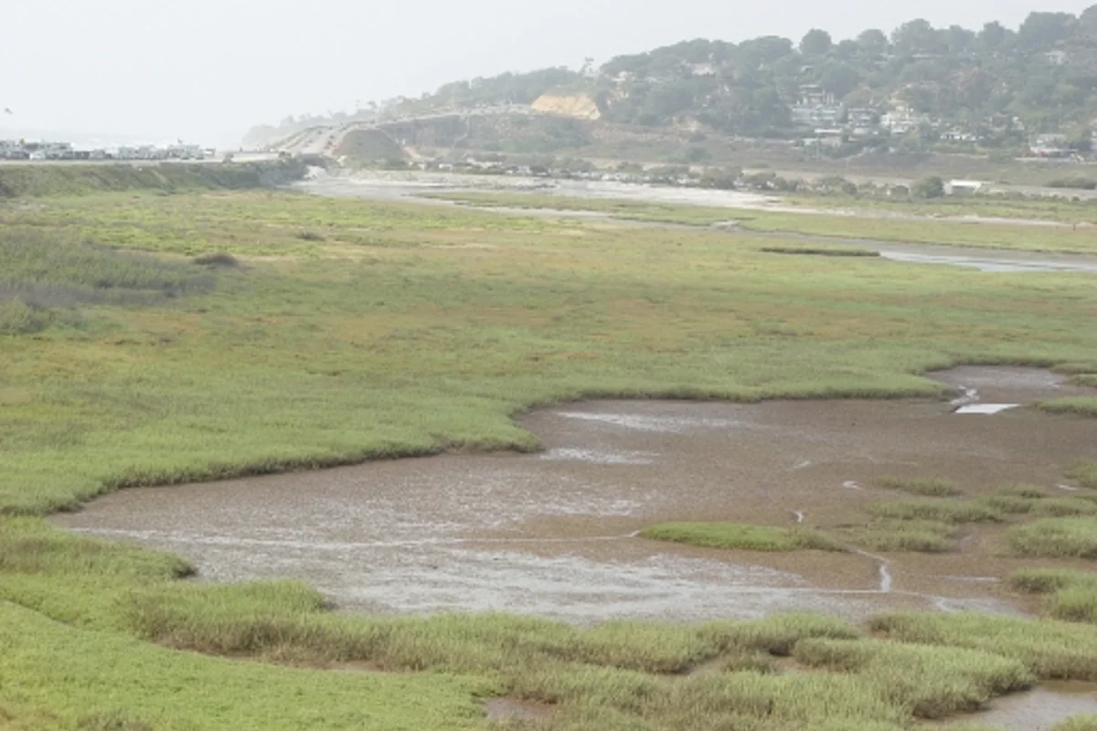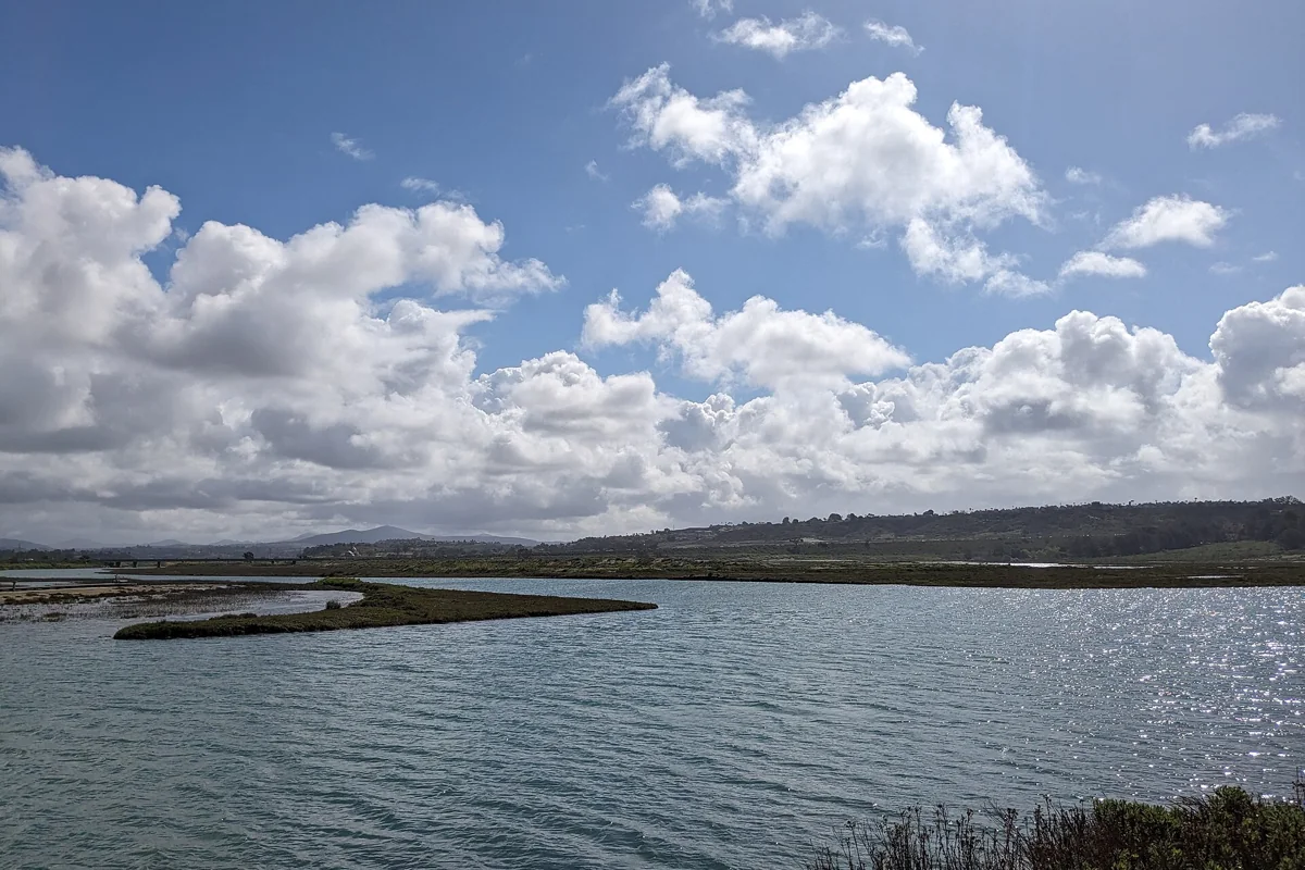
The Coast to Crest Trail at San Dieguito Lagoon offers a close look at the wetland landscape inland from Del Mar's coast. It is part of the San Dieguito River Park's much larger trail system, not a continuous beach path. The park's updated lagoon map lists the local Coast to Crest segment as 2.43 miles and rates it easy. Your own walk can be shorter: choose a legal trailhead, follow the signed route and turn back where it suits your group.
This is a good outing for walkers who prefer observing a landscape to chasing a summit. Expect marsh, open water, birds and views shaped by the river corridor. Do not expect access into the marsh itself or assume that every nearby path is the Coast to Crest Trail.
Start with the official Coast to Crest Trail map
Save the San Dieguito Lagoon trail map before you arrive. It distinguishes the Coast to Crest Trail from the boardwalk, River Path Del Mar, Salt Marsh Bird View Trail and Dust Devil Nature Trail. Those names are not interchangeable, even when they share the same wetland setting.
The mapped length of a segment is not necessarily your round-trip distance. If you walk the entire local segment and return the same way, you will travel farther than its one-way listing. If you add a side trail, a parking approach or a connection across a road, account for those too. Pick a turnaround point before the walk rather than waiting until someone is tired.
The larger Coast to Crest route stretches inland through the river park system. Do not interpret the name as a promise that you can hike continuously from this lagoon to the mountains without studying current maps and completed connections. This guide is about the lagoon outing, which is a useful trip on its own.
San Dieguito Lagoon staging area
The River Park's directions identify the San Dieguito Lagoon staging area off San Andres Drive. From Interstate 5, the published approach uses Via de la Valle east, then San Andres Drive, with the driveway marked by a wooden staging-area sign. Look for the actual park entrance rather than using an adjacent business lot.
The park places trail access at the southeast corner of the staging area and notes an ADA portable toilet. It also describes an alternative trail approach by the interpretive kiosk at the southeast end of San Andres Drive. Availability and posted restrictions should be checked on site; a portable toilet listing is not a guarantee that every trail surface is accessible.
Check the official parking directions for current operating information. This guide does not repeat gate hours from an older page. A gate schedule matters on an out-and-back walk, especially if you stop often for bird watching.
The Del Mar trailhead and River Path Del Mar
The park also describes trailhead parking near San Dieguito Drive and Jimmy Durante Boulevard, managed by the City of Del Mar. Its directions separate access to River Path Del Mar from the sidewalk connection across the river toward the lagoon boardwalk and Coast to Crest Trail. Read the map before choosing which side to start from.
River Path Del Mar is a separate route, listed at 0.54 mile on the updated lagoon map. It is useful for understanding the lower river landscape, but calling it the Coast to Crest Trail hides an important navigation distinction. If your goal is only a brief river walk, there is no need to add every adjoining trail.
Use sidewalks and lawful crossings. Never shortcut across railroad tracks, slip through a barrier or walk along a traffic lane to make an apparent connection. A narrow gap between two lines on a map does not prove there is public, safe access between them.
What the lagoon walk is like
The official map rates this local Coast to Crest segment easy. That describes the general trail, not every visitor's experience in every condition. Sun, wet ground, the distance from your car and the need to retrace your steps can make a modest-looking outing more demanding.
Move at a pace that leaves room to observe. Notice the transition between open water, marsh vegetation and the drier upland edge. The park describes intertidal marsh as a rare and threatened habitat. Staying on the route lets visitors see it without turning the sensitive ground into additional trail.
Birds may be visible close by or across the water, but they are not an attraction that arrives on demand. Binoculars help you look without moving closer. If you stop for a longer watch, leave room for other trail users and keep voices low enough that the visit does not become an interruption.
Boardwalks, bird views and route choices
The map lists the lagoon boardwalk separately at 0.15 mile and the Salt Marsh Bird View Trail at 0.40 mile. These can help you plan a shorter focus, but inspect the actual signs and any closure notices before committing. Do not assume an older route description reflects a repaired, reopened or newly realigned section.
One sensible approach is to choose a single principal route and one optional extension. That gives you an easy decision point when weather, energy or time changes. Trying to assemble every mapped segment into one outing can turn a relaxed wetland visit into a sequence of road connections and backtracking.
For photography, look for a public place where you can stop without blocking the path. A long lens is more useful here than a plan to approach a bird. Keep tripods, bags and dog leashes out of the travel line, particularly where different users are sharing a narrow section.
Dogs and trail etiquette
The park's lagoon map welcomes dogs on leash and asks visitors to pick up after them. Keep the leash short enough that your dog cannot enter vegetation, approach birds or block the full width of the path. A wetland edge is not an off-leash exercise area, even when no other people are nearby.
Stay on designated trails and obey the signs for each segment. The park prohibits overnight camping and overnight parking in staging areas, as well as fires and smoking. Follow the current park rules rather than assuming an ordinary city-park activity is suitable in sensitive habitat.
The River Park's trail information encourages visitors to allow trails to dry after rain. Muddy ground can be damaged by ordinary shoes as well as bicycle tires or horse hooves. If conditions are wet, choose another day instead of walking around puddles and widening the trail.
Is this a route to San Dieguito River beach?
The lagoon lies close to the river mouth and Del Mar's coast, which explains searches for “beach San Dieguito River.” Still, a lagoon hike and a beach outing need separate access planning. Follow the mapped public trail system, then use established beach access if you intend to visit the sand.
Do not walk into channels, cross habitat or use the river mouth as an improvised connector. Tides and river conditions affect low ground. If the beach is the main goal, begin with the beaches guide; if birds and marsh views are the goal, stay with the lagoon plan.
What to bring and what to check
- Save the official map and choose your starting lot and turnaround.
- Check the park's notices and current trail conditions before leaving.
- Bring drinking water, sun protection and comfortable walking shoes.
- Carry binoculars if you want to watch birds without getting closer.
- Leave enough time to return before any parking-area closure.
Do not rely on this page for a parking fee, water fountain location or a promise of uninterrupted access. Those operational details need a current official check. The best lagoon outing leaves room for an early turnaround and treats protected habitat as the reason for the trail, not an obstacle to it.
To compare this estuary with others, see San Diego coastal lagoons and nature centers. For a quieter introduction to how these landscapes work, read natural lagoons and Los Peñasquitos. Each lagoon has its own access rules; a good habit at one is not permission to ignore signs at another.
Sources & further reading
Official information and references for this guide. Check the source for current access, rules and conditions.