Walking Shoreline Park at Shelter Island

shoreline park featured image

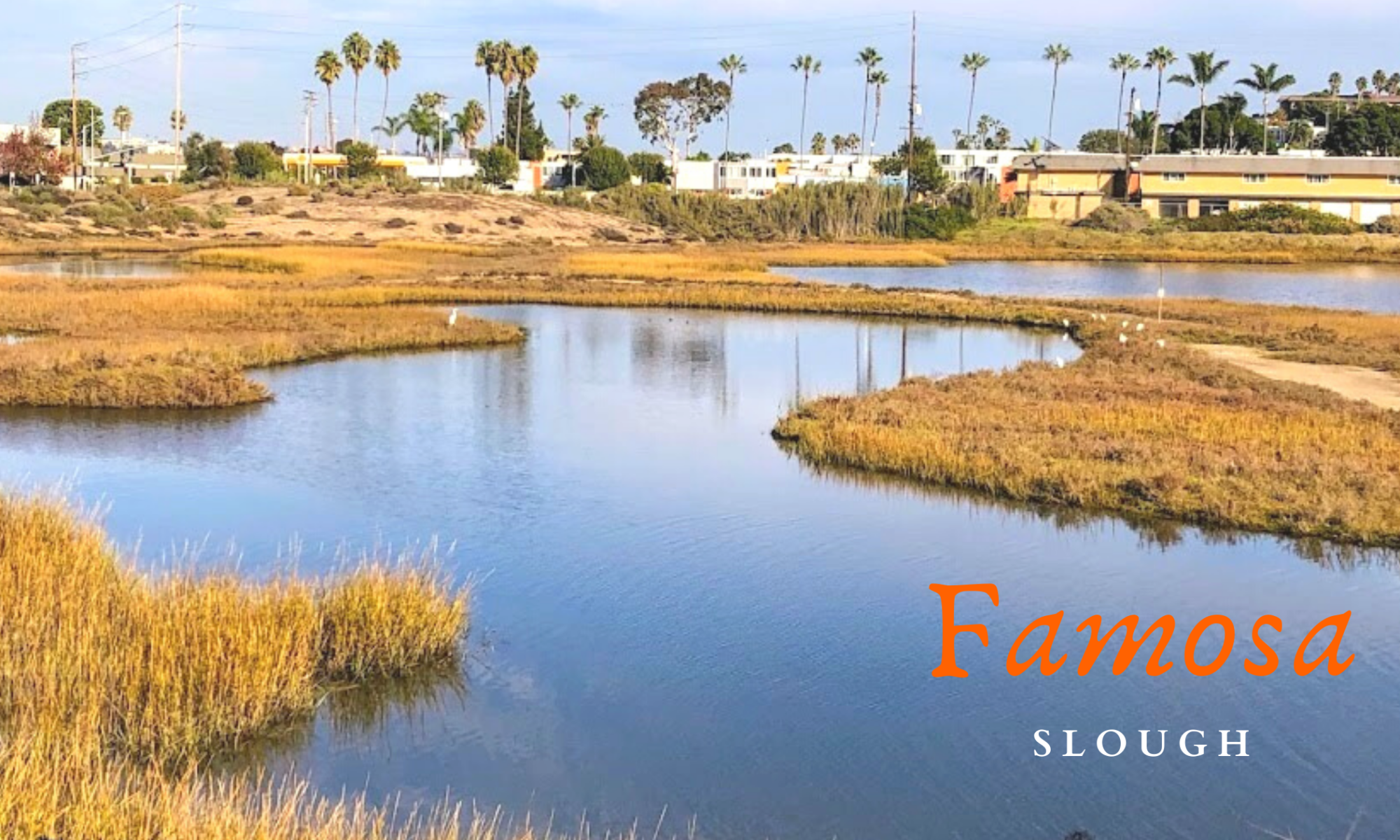
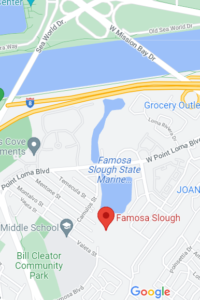
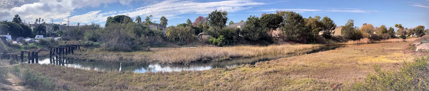
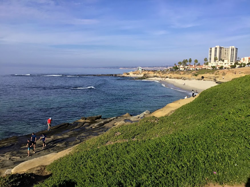
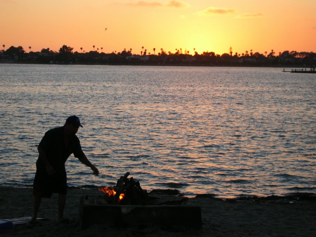
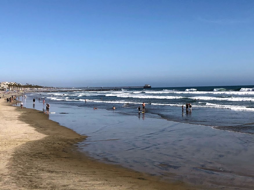
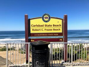
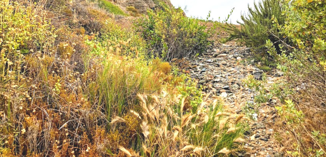
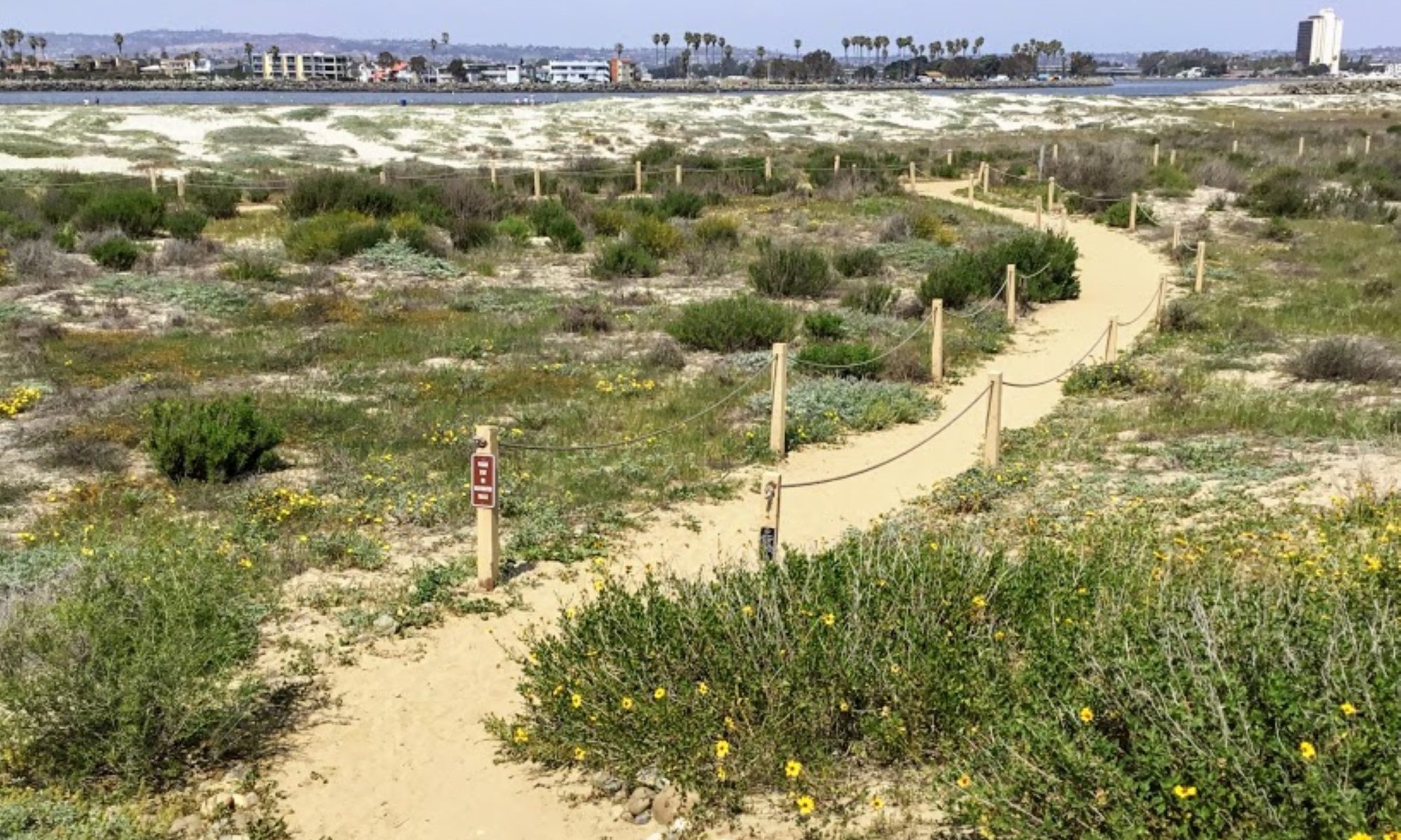
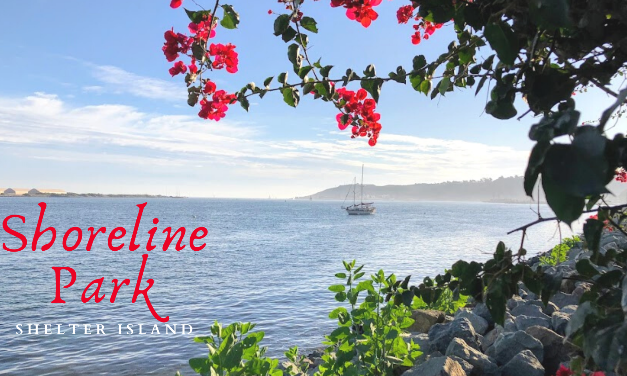
As my girls and I walked around Famosa Slough on a clear November day, we realized that we still had a couple of hours before picking my husband up from work. So we decided to go to Shoreline Park on Shelter Island at San Diego Bay. We have been coming here for years!

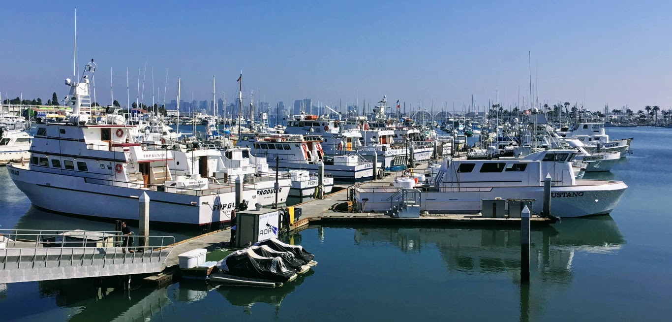
I love to watch the boats in San Diego Bay. But there are so many other things to pay attention to over here, for instance, observing the jets take off and land over on Naval Air Station North Island/ Coronado or shorebird’s dive-bombing into the bay. On a clear day, you can see the Coronado Islands of Mexico (Islas Coronado.)

And how about the smells? There is nothing better than the crisp smell of saltwater, is there? I find it so refreshing!

The sounds here on Shetler Island are just as unmistakable: sea lions barking, the wind blowing through the trees, and the water lapping on the rocks after a large ship goes by. You might even hear the chattering of green parrots. Did you know that a flock of green parrots live here on Shelter Island? More on these lively parrots later.

Let’s now look at what we saw and offered here at Shoreline Park/ Shelter Island.

#Click on any small photo to see a larger version.

Exploring Shoreline Park in November

shoreline park shelter island google map

button map shelter island shoreline park

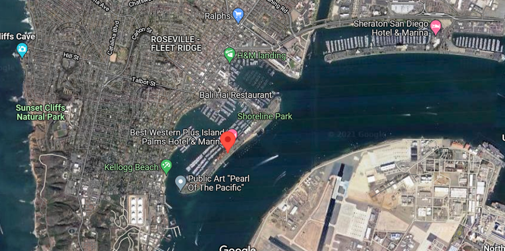
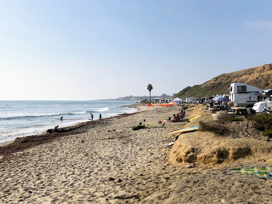
Shoreline Park is a narrow band that stretches for one mile on the bayside of Shelter Island. Dogs are welcome here but must be on a leash.

Continue reading “Walking Shoreline Park at Shelter Island”

A Few Plants at Famosa Slough

famosa slough featured image

Last month, on November 23rd, my girls went to Famosa Slough because I wanted to check out and see how the plants were doing. I knew that the toyon and buckwheat were in bloom, but what other surprises were we in for? I can tell you upfront that I saw my first California boxthorn bush! Have you ever seen one in the wild?

So today, I wish to keep things casual, seeing that I have written more in-depth about almost all of these plants.

Please see the links down below if you would like further information.

A Few Famosa Slough Facts

Famosa slough map google maps

button-map-Famosa-Slough-Google-Maps

First and foremost, the Famosa Slough is a living wetland preserve and a Marine Protected Area, meaning nothing is to be touched or taken. It survives as a wetland by the tidal flow from the culvert pipes that connect it to the San Diego River Channel.

It consists of two sections: the Northern Channel, 12 acres, and the southern portion, 25 acres of mixed wetlands. The more south you go, the less saline the water.

I have been here four times and have written about Famosa Slough before, only concentrating on the southern section. Well, today, we explored both.

North Channel of Famosa Slough

famosa slough pano san diego saltmarsh

The North section connects to the San Diego River Channel north, with the southern portion just across the street.

Continue reading “A Few Plants at Famosa Slough”

First Day Hikes 2022

First Day Hikes 2022 Featured Image

Wow! I am so happy to write up this post in record time! You see, yesterday, I realized that the California State Parks uniquely celebrate the New Year. How is that, you may ask?
California State Park staff members, docents, and volunteers will show off the beauty and wonders of our gorgeous State Park system by leading the general public in First Day Hikes! Below is valuable information on each San Diego/ California State Park featured, plus a brief explanation of where and what is offered.
I will start north up at San Onofre State Beach and go south towards the California/Mexican Border.
It is supposed to be chilly on the coast today, with the high only 62 degrees, so please consider that!


First Day Hikes at San Onofre State Beach

Trestles November sand dunes water surfers

Where – Trestles Beach Trailhead on Cristianitos Road/ El Camino Real

Time- 2 pm

Continue reading “First Day Hikes 2022”

Pacific Beach Boardwalk on a Mid-November Day

Pacific Beach featured image

One of my very best friends, Paula, lived in Pacific Beach for a bit when we were both in college. I have distinct memories of visiting her apartment right off the Pacific Beach Boardwalk and close to Crystal Pier.

Fast-forward 33 years, and we are back!

Seriously though, Paula, her husband John, and I spent an hour together soaking in the sun, ocean, and wind while reminiscing. Check out what we experienced on this sunny but very windy mid-November day.

Where is Pacific Beach?

Pacific Beach map google maps

button map Pacific Beach google maps

Pacific Beach is found between La Jolla to the north and Mission Beach to the South.

Let’s now take a look at some of the day’s highlights!

parasailing-Pacific-Beach
The wind was just suitable for parasailing over North Pacific Beach!

Here we are looking out over North Pacific Beach from the Crystal Pier. If you follow the surf break straight ahead, this is where the Tourmaline Surfing Park is located (just south of Law Street Beach.) When the conditions are right, you will see many surfers paddling out past False Point (see map above.)

Continue reading “Pacific Beach Boardwalk on a Mid-November Day”

Flying Over San Diego Beaches

flying over san diego featured image

Today I would like to do something fun! On October 12, my family and I were coming home from a trip to Idaho. I was fortunate enough to sit in a window seat and photograph my favorite beach in the universe-San Onofre State Beach on the airplane! Seeing that it was only 9 am, the lighting was perfect. As a bonus, the plane flew the entire coast of North County San Diego and did not turn inland until flying over Torrey Pines State Beach. Come and check out what I witnessed!

Flying Over San Onofre State Beach

San Onofre state beach flying over plane

When I noticed that we were getting closer to San Diego, I eagerly awaited for us to arrive above my favorite beach, San Onofre/ Trestles. My love of the untouched and wild beaches of San Onofre State Beach can be seen in the number of times I have written about the area.

I have noted the surf break Churches in the photo above, the midpoint between Trestles and San Onofre State Beach.

Continue reading “Flying Over San Diego Beaches”

Checking out the La Jolla Harbor Seals

2009 harbor seals la jolla san diego

One of my favorite places to bring family and friends from out of town is La Jolla! Our absolute favorite place to visit in La Jolla is at the Children’s Pool, Point Mencinger, and Casa Beach. We love to see if the La Jolla harbor seals are hauled out on the rocks or the beach.

Did you know that Point Mencinger and the Children’s Pool is a Pacific harbor seal rookery? (A rookery is where the seals mate and raise young.)

Yes, it is!

And just north at Point La Jolla, there is a California sea lion rookery! The coastline of La Jolla is magical.

On August 17, my girls and I went on a little pinniped adventure.

Let’s now take a look at what we saw, and as a bonus for you and as well as for me, I have listed several La Jolla harbor seal facts.

The Pacific Harbor Seals of La Jolla

Point Mencinger la jolla san diego
Point Mencinger is North of Boomer Beach, 2021

First, it blows me away that I never knew that the formal name of this area in La Jolla is Point Mencinger. 

Below is a photo during a King Tide, so the tide was super low.

Continue reading “Checking out the La Jolla Harbor Seals”

Let’s Have a San Diego Beach Bonfire!

fiesta island sunset san diego mission bay

Welcome back to San Diego Beach Secrets! Do you like bonfires? There is something special about sitting around a fire with the ocean waves crashing on the shore, yes? As a rule, it is good to remember that open fires are prohibited on all San Diego County beaches.

You may only have a bonfire within a provided fire rings. In other words, where are all of the fire rings on the beaches of San Diego? Well, not all of the beaches of San Diego have fire rings, so this has motivated me to make a handy list, so next time you (and I) will have a better idea of where to go.

And once there, how many are there to choose from?

So the question is, which beach has the best bonfire potential? Each beach has its own preferred extinguish time, so take note of that.

All fire rings in San Diego County are on a first come- first serve basis.

I have also included a couple of businesses where you can rent a San Diego beach bonfire!

More information is down below.

Ok! Let’s have a San Diego beach bonfire!


Best San Diego Beaches for Bonfires-Where Are All of the Fire Rings?

San Onofre State Beach

old mans beach fire pits san onofre state beach

Oh, how I love, love San Onofre State Beach!

Continue reading “Let’s Have a San Diego Beach Bonfire!”

Checking out the California Sea Lions in La Jolla

CA sealions point la jolla featured image

There is something extraordinary about seeing wild animals in their natural habitats, especially marine mammals. Well, what if I told you that over at La Jolla, two designated pinniped rookeries near each other? Yes! A Pacific harbor seal rookery is located at Casa Beach/ Children’s Pool, and a California sea lion rookery is found at Point La Jolla and Boomer Beach. Have you ever seen California sea lions up close before?

Both rookeries are close and parallel to Ellen Browning Scripps Park. Today, I will only concentrate on what we saw at the newly closed public- California sea lion rookery.

sea lions people la jolla san diego
July 6, 2017

Where Are The California Sea Lions in La Jolla?

La Jolla Cove

people sea lion la jolla cove august

La Jolla cove sits adjacent to Point La Jolla, so it is not uncommon to see a couple of California sea lions hanging out on the rocks in the cove.

On this day, it was unusual for this sea lion to swim onto a crowded beach and pose on a rock, but maybe not.

You would think that some sea lions are becoming less afraid of humans, seeing that human smells and sounds constantly surround them.

Continue reading “Checking out the California Sea Lions in La Jolla”

Help Save California Sportfishing!

H & M landing fleet save california sportfishing

I have an important announcement, and I need your help! You see, the California Air Resource Board (CARB) has proposed a new and virtually unattainable metric for all harbor craft boat engines. The new rules make it especially tasking to the small family-run sportfishing/whale watching boat owners. How bad is it? Well, so bad that if passed, most will go out of business! So I need your help! Would you please sign the form below, so we can help save California sportfishing?

save california sportfishing red button

Continue reading “Help Save California Sportfishing!”

Best San Diego Family Beaches

Moonlight 7 1 family beach san diego featured image

Welcome to San Diego Beach Secrets! Today I would like to concentrate on the best San Diego family beaches. San Diego’s 70 miles of coastline has many different types of beaches. The variety is endless, some of which you can only reach four times a year. But what does constitute a great family beach? My first pick would be calm waters, followed by soft sand, maybe a playground? But most definitely a restroom and showers. So, today I will be highlighting where, when, and how each beach is ideal for a spectacular family day at the beach.

Ready?

Let’s go!

—>Beaches of San Diego County<—

Best North County San Diego Beaches for Families

Oh, how I love North County San Diego Beaches! These beaches (sans Oceanside) have huge and gorgeous sandstone bluffs accentuating the already beautiful Pacific Ocean.

Down below, I have three wonderful family beaches to share with you!

Let’s go!

Oceanside Harbor Beach- Family Fun in Oceanside

oceanside pier sand ocean waves

button map buccaneer beach oceanside

Oceanside Harbor beach is excellent for families because there are many amenities. What I think is the main draw is the extensive sandy beach.

Continue reading “Best San Diego Family Beaches”

Fiesta Island- A Closer Look

Fiesta Island entrance mission bay san diego

On June 15, 2021, one of my best friends and I took her two dogs to Fiesta Island at Mission Bay Park. Though I have been visiting Fiesta Island for over 30 years, today was the first time I entered the infamous leash-free dog park; this place is magical! Ironically, the next day, the California Coastal Commission formally decided that Fiesta Island Dog Park would stay the same way it had been for years- rustic and undeveloped. I had no idea this was up for a vote.

A bit more commentary on this subject later.

So as I said before, I have been coming here for years, but in 2018, I did a photoshoot of the island. I was surprised at how special it is over here. Would you care to see what I saw?

Let’s also look closely at all the things you can enjoy at Fiesta Island. As a bonus, I will include phone numbers and links to relevant websites about this area!

A Few Mission Bay and Fiesta Island Facts

mission bay map fiesta island san diego

button map fiesta island mission bay san diego

Phone Number– (619) 235-1169

Hours– 4:00 am to 10:00 pm

Click on the map below for a better idea.

—>Fiesta Island Map<—

#– Fiesta Island Dog Park is open 24 hours, seven days a week, but the island is closed to cars after 10:00 pm. You may enter, but you must park off the island and walk.

Continue reading “Fiesta Island- A Closer Look”

Carlsbad Sea Wall Trail-A Closer Look

Robert Frazee Beach Carlsbad San Diego

On the morning of April 29th, I woke up on a mission. A mission to take in some glorious sights and breathe in some crisp and clean ocean air. I wasn’t sure where to start this adventure, so I let my instincts guide me. While driving to the coast, several ideas pop in and out of my head. So today, I decided to take a closer look at the Carlsbad Sea Wall Trail, which is extremely popular in North Carlsbad.

—>Beaches of San Diego County<—

Below is an outline of the Beaches of Carlsbad. On this particular day, I visited all the beaches except South Ponto.

Carlsbad State Beach

  • Robert Frazee State Beach
  • Tamarack State Beach
  • Warm Water Jetty Beach

South Carlsbad State Beach

  • Terramar State Beach
  • North Ponto State Beach
  • South Carlsbad State Beach
  • South Ponto

Exploring the Carlsbad State Beach

Robert Frazee state beach sign

button map Robert Frazee State Beach

Today, I thought I would start over at Robert Frazee Beach, where Carlsbad State Beach’s northern boundary begins. A small parking lot is located off Oak Ave and Ocean St, but I found a parking spot right off Pine Street in the residential area.

Continue reading “Carlsbad Sea Wall Trail-A Closer Look”

Saltwater Fishing in San Diego

saltwater fishing san diego featured image

San Diego, known as “America’s Finest City,” boasts over 70 miles of coastline to explore! Are you a piscator? Or, in other words, do you like saltwater fishing? Do you prefer to fish from piers or jetties? From shore or out in the ocean? San Diego’s peak fishing season begins in April and until November. Would you like to learn more about saltwater fishing in San Diego?

–>The Beaches of San Diego County<–

What makes San Diego extraordinary is that the coastline is so varied. There are miles of sandstone bluffs in North County San Diego (San Onofre, Carlsbad, Encinitas, Del Mar). While down in South County San Diego, sandy beaches rule (Pacific Beach, Mission Beach, Ocean Beach, Coronado, Imperial Beach.) San Diego has it all, whether you prefer to fish from the beach, jetty, pier, boat, or by a chartered vessel!

piscator definition mackerel fishing pole

A Piscator Page, You Say?

I thought having a specific page on my website with all of the San Diego saltwater fishing information in one place would be good. A piscator page!

So down below, I have compiled complete lists of all San Diego saltwater fishing piers, saltwater sportfishing (half-day/full-day) party and charter boats, boat launch ramps, lobster fishing spots, the 2022 grunion run schedule, a few fish lists, as well as several prominent shore fishing locations.

As a bonus, I have included all harbor and bay cruises offered out of Oceanside Harbor, Mission Bay, and San Diego Bay for those who have no desire to fish but still yearn to be on the water.

To experience San Diego fully, you must get on the ocean, breathe in all the negative ions, and let the saltwater spray on your face. Believe me; you will thank me later. Also, don’t forget to pack a sweatshirt, as it can get chilly out on the water.

Continue reading “Saltwater Fishing in San Diego”

2021 Grunion Run Schedule

grunion out water sandy beach sea foam

It is that time of year again! The grunion is here! If you recall, in 2020,  Californians could not witness the grunion of March and April, as we were not allowed anywhere near the water. Well, this year is different, and I, for one, am heading down this month to check them out in person. Below, I present the 2021 grunion and the updated 2022 grunion run schedule for Southern California.

Important- New Grunion Fishing Regulation 2022 Update!

The California Department of Fish and Game Commission has officially adopted new grunion fishing regulations!
Starting on June 1, 2022, the grunion closure/observation rule has been extended for one more month. No grunion may be taken from April 1 to June 31. Because of a decrease in numbers, a new bag limit of 30 fish will be enacted when the season opens again on July 1.

What is a Grunion, and How Do They Run?

marcro grunion fish head close up
credit-Nathan Rupert-(Flickr)

The grunion (Leuresthes tenuis) are small silvery fish between 5 to 7 inches long that live about 3 to 4 years. Each year, the grunion comes onto Southern California’s beaches between March and September to spawn during the Full and New Moons.

The female grunion catches a wave, digs a hole, and waits for males to touch her. Once touched, she will release her eggs, and the males cast their milt (sperm) on her body, which then flows down onto the eggs.

The process happens quickly, and up to eight males may fertilize each female. Interestingly, the female grunion may be out of the water for over five minutes! Once the male is done, he will catch a wave back into the ocean.

Each grunion run lasts four consecutive days when the tide is at its highest and longest. The eggs are buried in the sand for two weeks until the next high tide arrives. When the larvae become agitated by the waves, they hatch and are taken back into the ocean by the tide.

#April, May, and June are peak spawning months, so only observation is allowed.

Continue reading “2021 Grunion Run Schedule”

Plants at the Beach-San Onofre

San Onofre State Beach May Trails Beach

Boy, was I excited to finally go to the beach on May 24, 2020? Is anyone else happy to get out of their houses, too? I was so pleased to go to San Onofre State Beach twice a week. Because of the lockdown in California, I could not witness the beginning of the wildflower season. So my main objective on this first day back to the beach was to see as many plants as possible! The first time we headed to Trestles, and the following Friday, I explored the southern section, just under San Onofre Campground at Bluffs Beach (or Trails Beach). Below, I would love to share with you what I saw- all the plants at the beach I encountered.

Previous to this beach adventure, I had just finished a post on Southern California Native Plants. This post has documented all the plants and wildflowers I encountered in the scrub and Southern Oak Woodland behind my neighborhood during Lock-Down in 2020. After hours and hours of research, I sure learned a tremendous amount!

Plant Names Given by San Diego Native Inhabitants 

I have recently been fascinated with Native American uses of the native plants in the area (Ethnobotany), so I thought I would continue with the same format I followed for my previous native plant post.

The Kumeyaay people were the first known original inhabitants of San Diego, with meyaay translating to ‘those who face the water from a cliff.” (Click on the link to hear the correct way to pronounce Kumeyaay)

Continue reading “Plants at the Beach-San Onofre”