King tides in San Diego for the 2026–27 season fall on November 24–26 and December 23–25, 2026, and January 21–22, 2027, the statewide dates set by the California Coastal Commission. The water peaks in the morning. NOAA predicts high tides of about 6.8 to 7.1 feet at La Jolla and 7.3 to 7.6 feet in San Diego Bay, between roughly 7:30 and 9:20 a.m. This winter the real water may run higher than those numbers. The predictions leave out storm surge and El Niño, and the City of San Diego expects El Niño to strengthen the November tides.
A king tide is not a special wave. It's a very high predicted tide, set by the positions of the Earth, moon and sun. Below are the times for each date, free guided walks, where flooding usually shows up, and the very low tides that arrive the same afternoons.
King tide times for San Diego, 2026–27
We pulled these from NOAA's tide predictions for two stations. La Jolla (Scripps Pier, station 9410230) works for the open coast. San Diego Bay (Broadway, station 9410170) works for the bay, Coronado, Shelter Island and the Embarcadero. Heights are in feet above mean lower low water (MLLW), and times are local Pacific time. Sunrise and sunset are calculated for La Jolla.
| Date | High tide, La Jolla | High tide, San Diego Bay | Low tide, La Jolla | Sunrise | Sunset |
|---|---|---|---|---|---|
| Tue Nov 24, 2026 | 7:48 a.m. / 6.9 ft | 7:53 a.m. / 7.4 ft | 3:06 p.m. / −1.4 ft | 6:27 a.m. | 4:43 p.m. |
| Wed Nov 25, 2026 | 8:29 a.m. / 7.0 ft | 8:34 a.m. / 7.4 ft | 3:55 p.m. / −1.5 ft | 6:28 a.m. | 4:43 p.m. |
| Thu Nov 26, 2026 | 9:15 a.m. / 6.8 ft | 9:19 a.m. / 7.3 ft | 4:46 p.m. / −1.4 ft | 6:29 a.m. | 4:42 p.m. |
| Wed Dec 23, 2026 | 7:36 a.m. / 7.0 ft | 7:42 a.m. / 7.5 ft | 3:02 p.m. / −1.8 ft | 6:48 a.m. | 4:47 p.m. |
| Thu Dec 24, 2026 | 8:23 a.m. / 7.1 ft | 8:29 a.m. / 7.6 ft | 3:47 p.m. / −1.9 ft | 6:49 a.m. | 4:48 p.m. |
| Fri Dec 25, 2026 | 9:11 a.m. / 7.0 ft | 9:17 a.m. / 7.4 ft | 4:33 p.m. / −1.7 ft | 6:49 a.m. | 4:48 p.m. |
| Thu Jan 21, 2027 | 7:32 a.m. / 6.9 ft | 7:38 a.m. / 7.3 ft | 2:48 p.m. / −1.9 ft | 6:50 a.m. | 5:10 p.m. |
| Fri Jan 22, 2027 | 8:19 a.m. / 6.9 ft | 8:25 a.m. / 7.4 ft | 3:27 p.m. / −1.9 ft | 6:49 a.m. | 5:11 p.m. |
Two patterns stand out. Every peak comes after sunrise, so you can watch it in daylight. And the bay runs about half a foot higher than the open coast at almost the same time. Shallow back-bay marshes and lagoons can peak later than the station nearest them, because water takes time to fill narrow channels. Check the NOAA La Jolla station or the Coastal Commission's tide map for your exact spot. Our NOAA tide tables page shows the next seven days for five local stations.
Why this season's king tides may run higher
The Coastal Commission picks its dates from astronomical predictions alone. Its own page says they "do not include any storm surges or El Niño impacts." This year, the commission says scientists expect a historically strong El Niño, along with Kelvin waves that temporarily raise sea level.
On November 20, the City of San Diego warned that a Kelvin wave is expected to intensify the king tides from Monday, November 23, through Thanksgiving. The city said strong waves plus high tides may flood low-lying parts of Mission Beach, Pacific Beach and Ocean Beach. Roads may close near Frontage Road and Pacific Coast Highway in the Midway area. Crews are building sand berms on beaches and along Mission Bay. The city asks people not to walk or climb on those berms, because a gap or dip can let water through. Treat the table above as a floor, not a ceiling.
Free king tide walks and events in San Diego (Nov 24–26)
The Coastal Commission's King Tides page lists these San Diego County events for the November dates. Most of them ask you to register, and some share the exact meeting spot only after you sign up.
- Famosa Slough, Point Loma: November 24, 8:30–10:30 a.m., with San Diego Bird Alliance and Friends of Famosa Slough. Birding, tide documentation and talks on light-footed Ridgway's rail and Belding's savannah sparrow surveys. Read our Famosa Slough guide before you go.
- Rose Creek salt marsh, Pacific Beach: November 24, 7:15–8:15 a.m. This is a self-guided documentation event from Friends of Rose Creek, running from the Mike Gotch Bridge toward Garnet Avenue.
- Kendall-Frost Marsh, Crown Point: November 25, 7:30–9:30 a.m. A binational event run at the same time as one at Estero de Punta Banda in Baja California, with birding and plein-air painting.
- Seaside Reef, South Cardiff: November 25, 8–10 a.m. A Surfrider San Diego beach walk with a volunteer leader.
- Ocean Beach to Sunset Cliffs bike ride: November 25, 8–10 a.m. (Surfrider, bring your own bike). The route passes the dunes and bluffs covered in our Sunset Cliffs Natural Park guide.
- Tijuana River National Estuarine Research Reserve: November 25, 9–11 a.m. A roughly 2-mile salt-marsh hike from the visitor center at 301 Caspian Way, Imperial Beach, for ages 12 and up. California State Parks and the San Diego Natural History Museum say they expect one of the highest readings ever recorded there, close to 9 feet. Register on the reserve's calendar.
- Crown Point to Palisades Park bike ride: November 26, 8–10 a.m. (Surfrider), along Mission Bay wetlands and Pacific Beach bluffs.
When this guide was updated, no San Diego events were listed yet for December or January. Check the commission's page closer to those dates, and see our San Diego events guide for what else is on.
Where king tides show up in San Diego
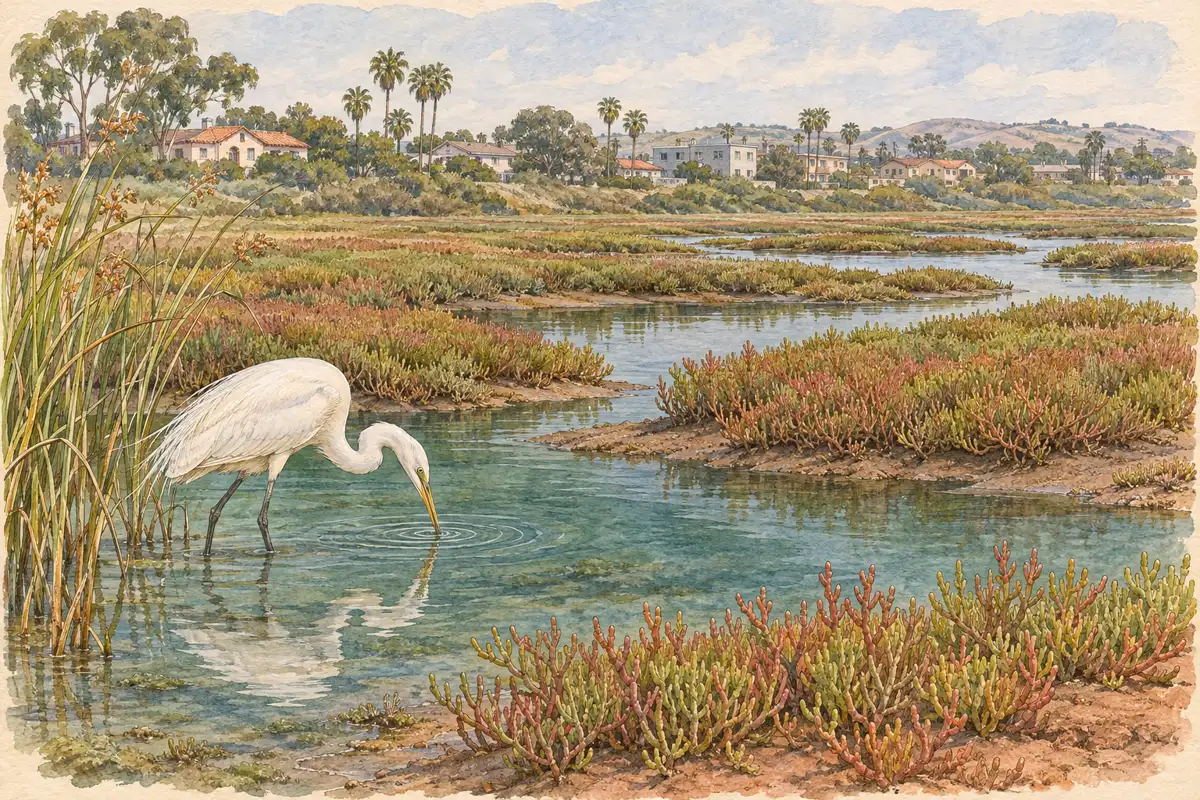
Marshes and lagoons show the clearest change. Water spreads across the pickleweed, and secretive marsh birds get pushed into the open. That's why so many of the events above meet at Famosa Slough, Kendall-Frost Marsh, Rose Creek and the Tijuana Estuary. See our San Diego birding hotspots for other wetlands where high water concentrates shorebirds.
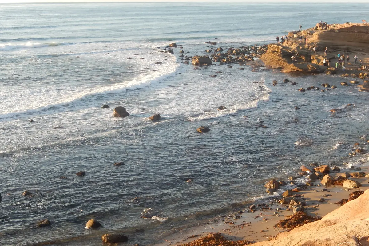
On the open coast, the most visible effects are at low seawalls, boardwalks and street ends. The city flagged Mission Beach, Pacific Beach and Ocean Beach this November. The Coastal Commission's king tide photo map shows where people photographed past events across San Diego County. It's a good way to scout a spot you can reach without stepping onto wet sand.
Watch from an established public overlook or promenade that stays dry even when waves run up. Skip narrow beaches below cliffs, low rock platforms, jetties, storm drains and sea caves. A route that's easy at a normal tide can be cut off at a king tide. Never cross a closure, a berm or a flooded street for a better photo.
How to photograph king tides for the Coastal Commission
The commission asks the public to photograph high water safely and share it with the California King Tides Project. Its How to Participate guide covers uploading. Frame a fixed landmark in the shot, such as a seawall, lifeguard tower, pier piling or street sign, so the water level has scale. Note the time and place. If you go back on a normal-tide day and shoot the same view from the same safe spot, you'll have a before-and-after pair that shows the difference clearly.
Shorebirds pushed upland by the water are resting, not tame. The commission asks people not to disturb them, so give them room and keep dogs leashed where dogs are allowed at all.
King tide days are also minus-tide days
The same lineup of sun and moon that pushes water high in the morning pulls it far out in the afternoon. On every king tide date this season, La Jolla drops to about −1.4 to −1.9 feet between roughly 2:45 and 4:45 p.m. These are among the lowest daylight tides of the season. The low falls before sunset on seven of the eight days. On November 26 it comes about four minutes after sunset.
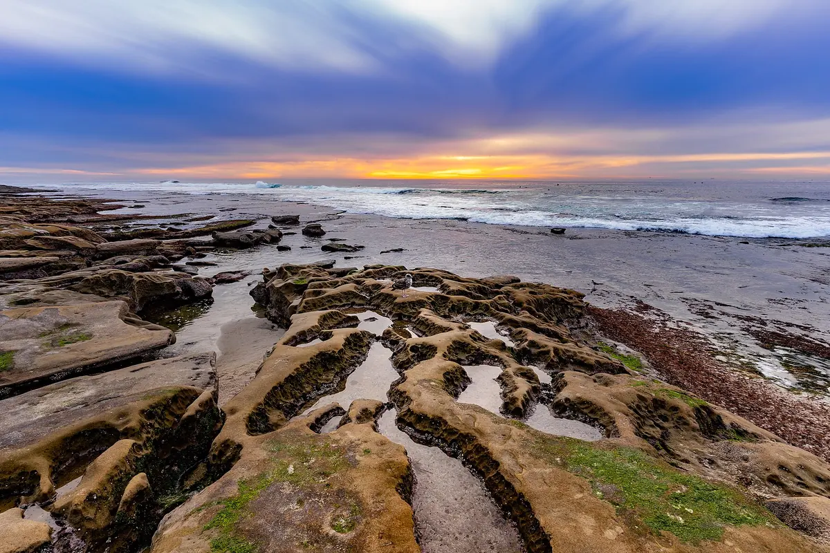
That makes these afternoons strong tidepool windows. Use our La Jolla tide pools guide (it has a minus-tide table through March) or the best San Diego tide pools list. At a managed site such as Cabrillo National Monument, the low tide also has to fall within the park's opening hours. Big winter swell can make any reef unsafe even at a minus tide, so check the surf forecast and lifeguard warnings first. Leave if waves are washing over the rocks.
Staying safe during king tides
- Stay back from cliff edges and bluff bases. Saturated, wave-battered cliffs fail without warning. Our Black's Beach landslide history shows how fast it happens.
- Never drive or walk through a flooded street. The city says to follow detour signs and not to park in areas known to flood.
- Keep a dry way back. Water can cross a low path behind you while you're watching the waves in front.
- Stay off sand berms, seawalls and rock jetties.
- King tides can push runoff and debris into the surf. Check the county's beach water quality status before you get in the water, and see our San Diego beach water quality rankings.
By 70 Miles of Coast editors. Tide figures are NOAA predictions retrieved in November 2026. They are not flood or surf forecasts.
Questions before you go
When are the king tides in San Diego in 2026?
The California Coastal Commission's statewide king tide dates are November 24–26 and December 23–25, 2026, and January 21–22, 2027. In San Diego the highest water comes in the morning, roughly between 7:30 and 9:20 a.m.
What time is the king tide in San Diego?
NOAA predicts the La Jolla high at 7:48 a.m. on November 24, 8:29 a.m. on November 25 and 9:15 a.m. on November 26, 2026. San Diego Bay peaks about five minutes later and around half a foot higher. Times for the December and January dates are in the table above.
How high will the king tides be in San Diego?
Predicted highs are about 6.8–7.1 feet at La Jolla and 7.3–7.6 feet in San Diego Bay, measured above mean lower low water. Predictions leave out storm surge and El Niño, and this winter the City of San Diego expects a Kelvin wave to push the water higher.
Where can I see king tides in San Diego?
Wetlands show the biggest change: Famosa Slough, Kendall-Frost Marsh, Rose Creek and the Tijuana Estuary all host king tide events. On the coast, watch from an established public overlook or promenade that stays dry. The city expects low-lying flooding in Mission Beach, Pacific Beach and Ocean Beach.
Can you go tidepooling during king tides?
Not at the morning high, but the same afternoons bring some of the year's lowest daylight tides, about −1.4 to −1.9 feet at La Jolla. Big winter surf can still make reefs unsafe, so check the surf and lifeguard warnings first.
Are king tides dangerous?
They can be when they combine with big surf. Waves reach farther than usual, low paths flood, and cliffs erode faster. Stay off berms, seawalls and jetties, keep back from bluffs, and never walk or drive through flooded streets.
Sources & further reading
Official information and references for this guide. Check the source for current access, rules and conditions.
- California King Tides Project – California Coastal Commission
- How to Participate in the California King Tides Project (Coastal Commission)
- King Tides photo map and gallery – California Coastal Commission
- NOAA CO-OPS tide predictions, La Jolla (Scripps Pier) station 9410230
- NOAA CO-OPS tide predictions, San Diego Bay station 9410170
- City of San Diego: Preparing for High Tides and Coastal Flooding Starting This Weekend (Nov. 20, 2026)
- Tijuana River National Estuarine Research Reserve calendar
- Document the King Tides at the Rose Creek Salt Marsh – Friends of Rose Creek
- Coastal Commission Informational Memo on 2026-27 El Niño
- San Diego County beach water quality status