Sea Caves at La Jolla Underwater Park

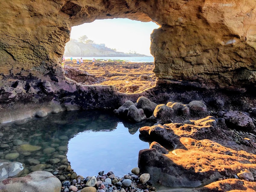
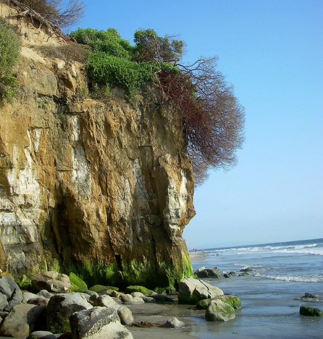
Cave window la jolla underwater park

Wow! Do I have some exciting information for you all? Many of you may have somewhat of an idea of my complete, somewhat obsessive love of King Tides. For all others, a King Tide is when you have the highest and lowest tides of the year (click on the link for more in-depth information.) Most attention is given to the high tide, as people enjoy seeing how far the ocean will reach on land.

I love going to the beach during the lowest tides, so I can examine what is usually covered by the ocean and have rare access to beaches that are typically not accessible. And let me tell you, today is one of those days.

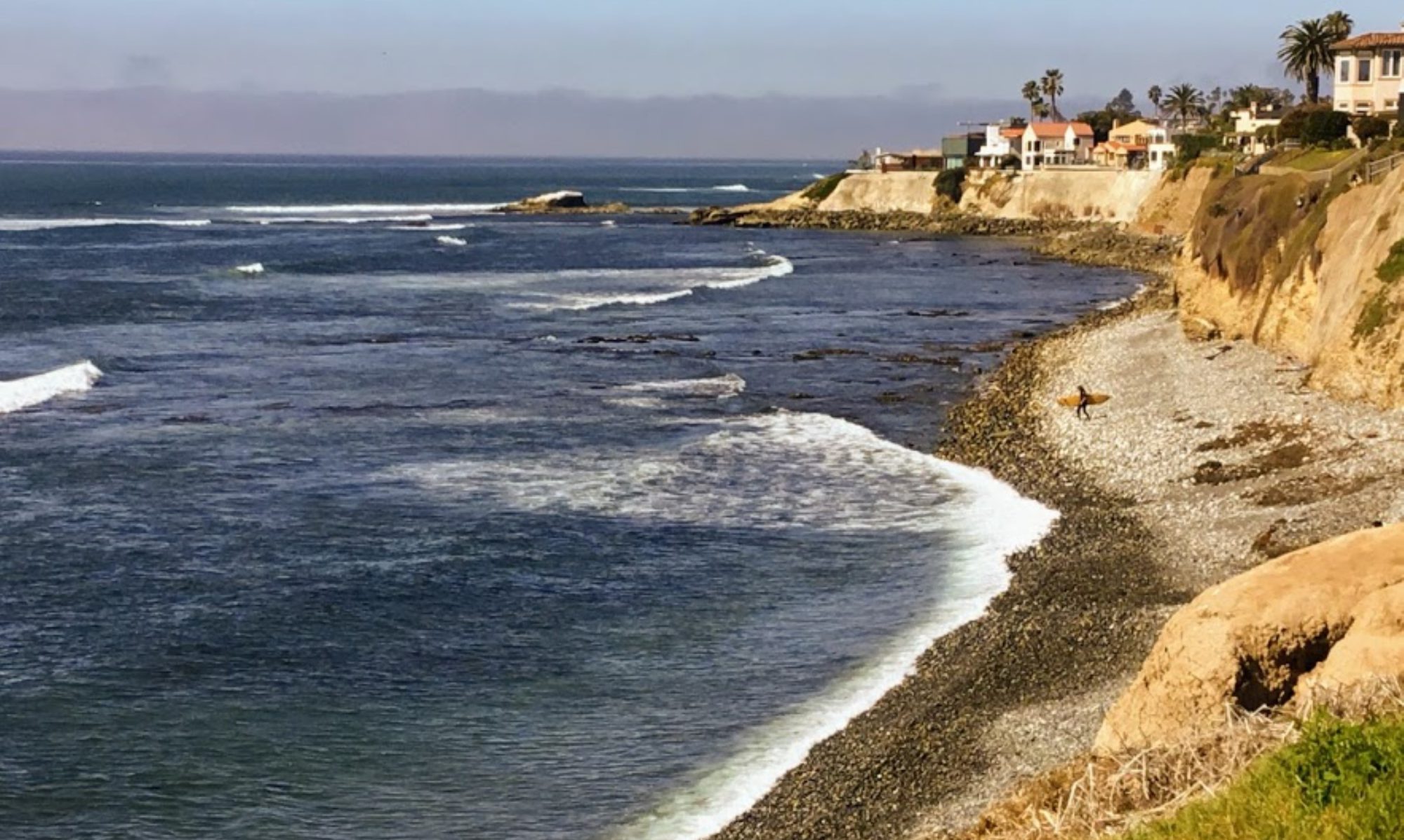
Yes! My girls and I explored two caves at the La Jolla Underwater Park!

Now I must say right up front that getting to these caves is no easy feat, and you have to have tremendous balance as there is at least a quarter-mile of rocks to walk over until you reach the semi-sandy beach over at Caves Beach.

Would you like to see what we saw?

Let’s go!

Continue reading “Sea Caves at La Jolla Underwater Park”

Touring Ocean Beach Park-Lompoc, CA

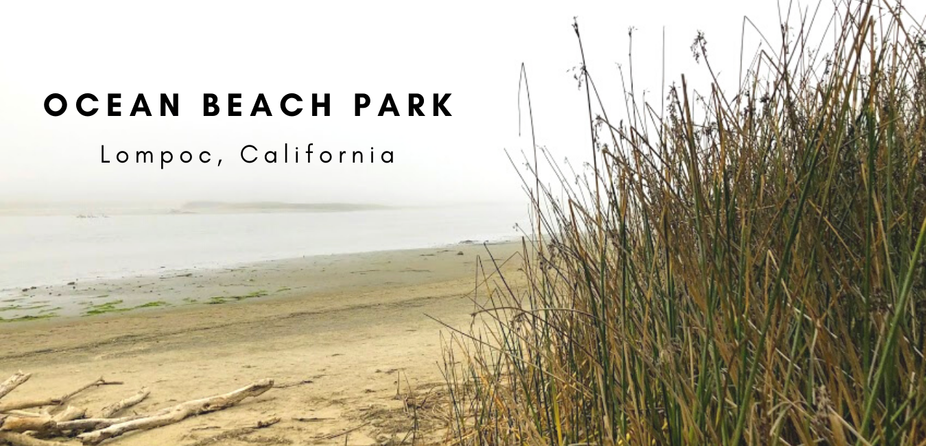
Ocean Beach Park Lompoc featured image

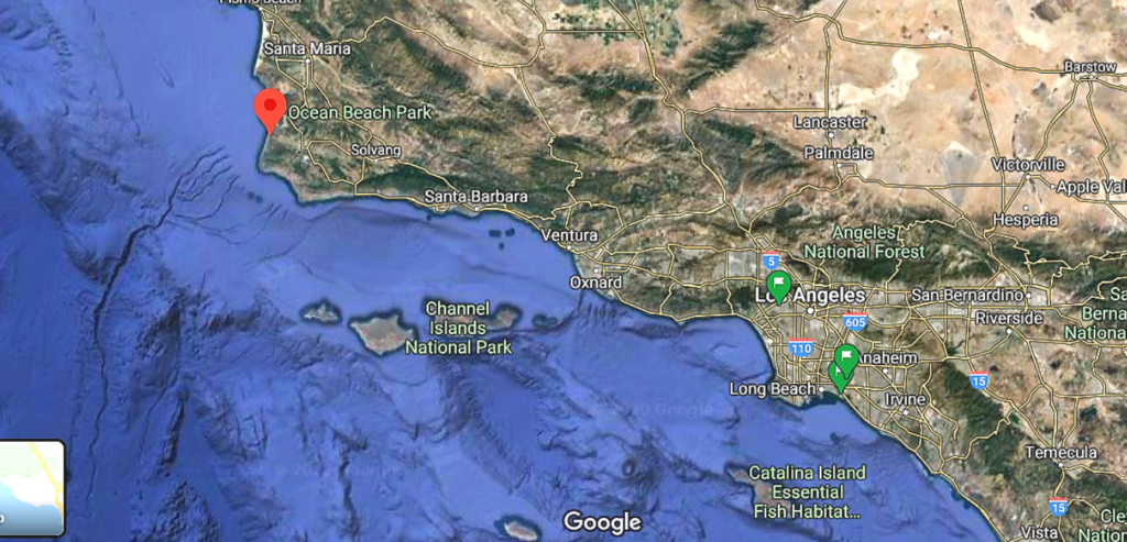
Did I ever mention that my husband is originally from Lompoc? It is an inside joke between us- a small-town boy meeting a city girl. So, where is Lompoc, which is pronounced LOM-poke? Located 268 miles northwest of San Diego, Lompoc is often referred to as the flower seed capital of the world. The town was established in 1888 and is located in Santa Barbara County on the Central Coast of California. It is a small agricultural town that the Vandenberg Airforce Base surrounds. I informed my husband that if we were to visit,  my one desire was to go to the ocean. So we went to Ocean Beach Park in Lompoc, CA, and I am here to share.

Why Lompoc?

Lompoc Map central southern california

A little back story-We just celebrated our 25th Wedding Anniversary this past July 4, so we decided to go to Las Vegas to commemorate the joyous occasion.

It was nice to revisit where we were married (Treasure Island) and reminisce. On a side note, it was not pleasant to go to Las Vegas during Quarantine in 2020, but that is not what this post is about, so I digress.

After we were done with the ridiculous heat of Nevada (100 degrees plus), we headed northwest for six hours to see family in  Lompoc. As a rule, it is almost always chilly and overcast there. And to say that I was looking forward to not being so hot is an understatement!

Noting that we were only in town for less than a day, I thought having the family meet us over at Ocean Beach Park for a pizza picnic would be an outstanding idea.

It was perfect timing without even knowing just how lucky we were. If this had been any other time before 2020, we would not have been able to enter Ocean Beach Park.

More on this later.

Continue reading “Touring Ocean Beach Park-Lompoc, CA”

San Diego Summer Fun- 2019

Tijuana River Valley Regional Park Panoramic

For as long as I can remember, summer has always been my favorite season! It could be that my Birthday is on July 1st, but to be honest, I think it is more than that. You see, my favorite place on this Earth is the beach. So can you think of a better time to visit the beach but in summer? Me neither! Join my daughters and me and see where we explored during our San Diego Summer of 2019!

The Best  Summer Possible!

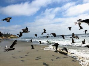
Heermans gulls encinitas moonlight beach
Heerman’s gulls on Moonlight Beach

This San Diego Summer, I wanted to make it super special because it was the last summer with my girls before they were both off to college.

My eldest daughter has been in college for two years already and came home for the summer, but my youngest was just about to start. I have been a stay-at-home Mom for over twenty years, so the thought of not having any children home puts the panic of God into me.

However, I was not going to let my anxiety of missing my kids get in the way of having the best San Diego summer possible.

Continue reading “San Diego Summer Fun- 2019”

California Super Bloom at San Onofre

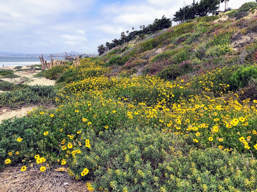
Trestles Beach April 2019 California Super Bloom

Over three weeks ago, I had the supreme pleasure of taking the opportunity to get out and see what was happening on the coast of North County, San Diego. Amidst all the rain we got this winter season, I was extremely excited to see how all the coast plants looked. Did the California super bloom affect the coast?

So I grabbed my backpack, filled it with plant ID books, my iPad, water, and sunscreen, and ran out the door. Well, maybe not running, but I was super excited!

My two daughters and I headed first to Trestles Beach Trail and afterward doubled back and explored Bluffs Beach at San Onofre State Beach. I have to say, what I saw, took my breath away.

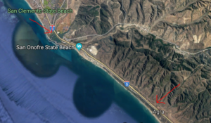
San Onofre State Beach Google Map
Trestles Beach Trail to the North- San Onofre Bluff Campground south

button map trestles beach trail google map

Ok, are you ready to check out all the San Onofre State Beach plants in North County, San Diego?

Continue reading “California Super Bloom at San Onofre”

Best San Diego Hikes on the Coast

Encinitas Bluff Tree Best San Diego Hikes

San Diego County has some of the best coastlines on the entire coast of California. From the rugged seashore, with towering sandstone cliffs found in North County San Diego, all the way down to the open estuaries and sandy beaches in South County San Diego. Today I would like to list some of my favorite San Diego hikes you can experience on the coast of San Diego.

All San Diego hikes listed will be taken only with a negative low tide. Please check out the tide chart before embarking on your adventure, as some of these walks are dangerous if the tide comes upon you. A good rule of thumb would be to allow a couple of hours before the high tide comes back in. Remember, a very high tide always follows a shallow tide.

One more thing. I have previously written extensively on these sites and have linked each post appropriately, so click on the underlined links for more information.

Continue reading “Best San Diego Hikes on the Coast”

San Diego Bay-A Photo Tour

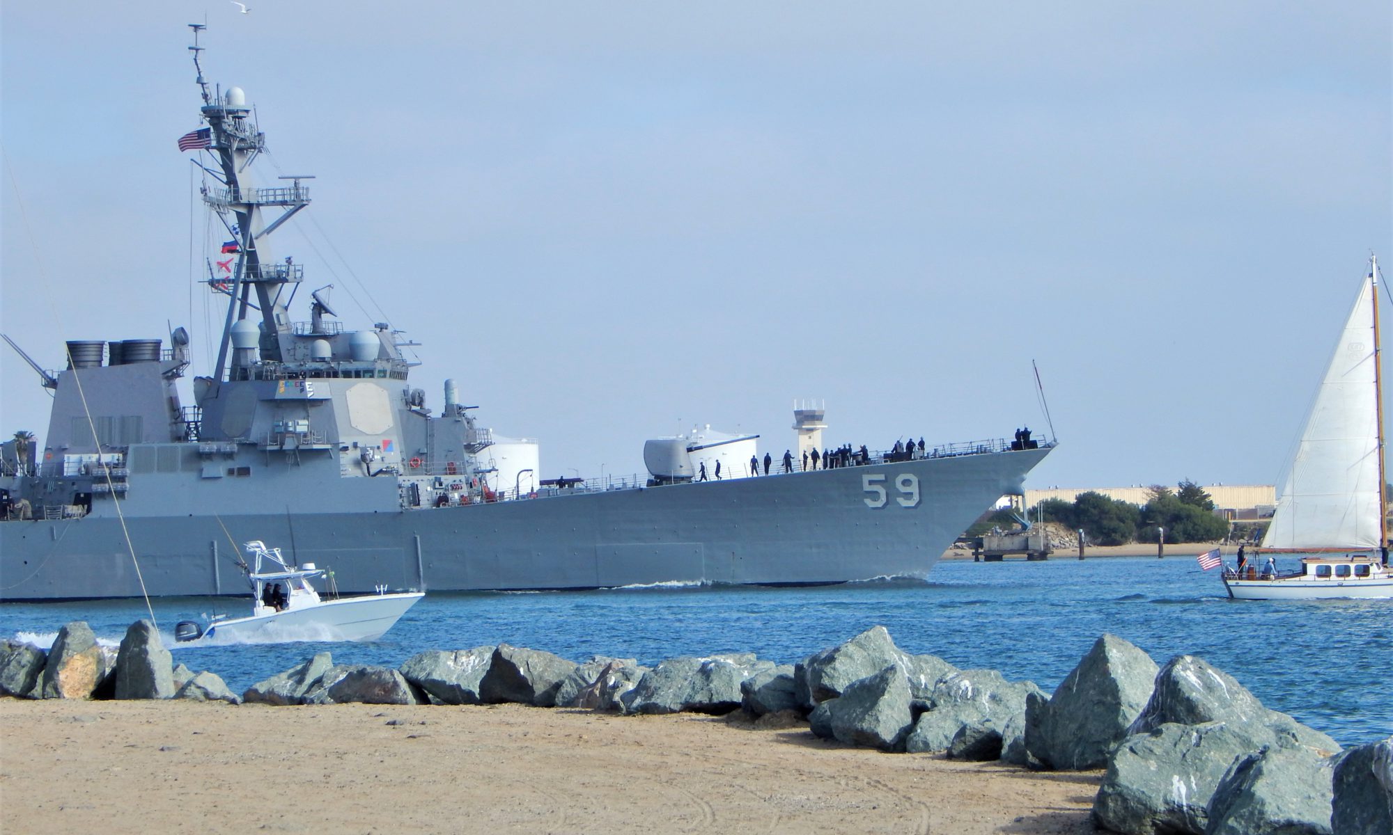
San Diego Bay Naval Ship Leaving

Today I would like to take you on a mini photo tour of San Diego Bay! Will you join me?

First off, fun fact.

Did you know that San Diego Bay was mentioned in the Treaty of Guadalupe Hidalgo in 1848?

 After the U.S-Mexican War, the Treaty (which is still in effect) pointed out that the entirety of San Diego Bay would belong to the United States.

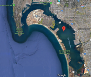
San Diego Bay Google Map Satellite

Discovering San Diego Bay Via Photos

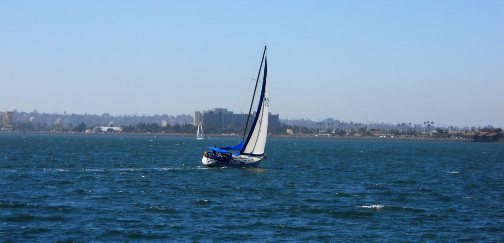
Sailing San Diego Bay

The San Diego Bay is a natural deepwater harbor found minutes away from Mexico and the United States border and is the third-largest Bay in California after San Francisco Bay and Humboldt Bay.

The San Diego Bay is over 12 miles long and 1-3 miles wide and is separated into two sections:

  1. North Bay-North Island, Shelter Island, Spanish Landing, Harbor Island, Coronado, Embarcadero
  2. South Bay -National City, Chula Vista, Silver Strand, Imperial Beach

So today, we will start our tour north at the mouth of the Bay. We will continue to make our way on the Bay’s east shore, going south and back north on the western coast of San Diego Bay.

Ready? Let’s go!

Continue reading “San Diego Bay-A Photo Tour”

Best San Diego Birding Hotspots

Loma Alta Creek San Diego Birding

Here I  present a comprehensive list of the best San Diego birding hotspots. I will include all of San Diego County, starting first to the north and going south. Each site will have a link to an address and habitat type, amenities,  tour information (if available), and any notable birds of Interest.

Did you know many free San Diego birding tours are offered all over San Diego County? I will also include any insider information in my research, such as prime locations within each site.

Continue reading “Best San Diego Birding Hotspots”

Slough What? Discovering Famosa Slough

Famosa slough sign ocean beach california

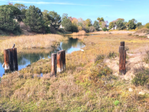
Hi! Have you ever explored a wetland before? Today, I would like to share a place that you would never expect to be so wonderful-Famosa Slough in Ocean Beach. First off, what is a slough? According to the dictionary, a slough (pronounced slōō)  is a swamp or shallow lake, usually the backwater of a larger body of water with relatively low water circulation.

In other words, we can think of a  slough as a wetland a little farther from the shore than a lagoon where the mouth opens to the Ocean. Another way to look at it is that a slough is the part of the estuary where fresh water from creeks and urban runoff mix with the salty ocean water transported by the tides.

Where is the Famosa Slough?

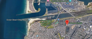
Famosa Slough Google Map

4275-4283 W Point Loma Blvd

The Famosa Slough is located directly south of the San Diego River Flood Control Channel and is 6 miles north of Downtown San Diego in the lovely town of Ocean Beach.

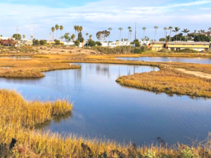
Famosa Slough comprises 37 acres of wetland between the San Diego River Channel and the residential neighborhoods surrounding the San Diego Sports Arena.

Continue reading “Slough What? Discovering Famosa Slough”

Touring The Living Coast Discovery Center

Living Coast Discovery Center featured image san diego bay

At the beginning of Summer, I took my two daughters to go and check out the Living Coast Discovery Center, located in the San Diego Bay National Wildlife Refuge. I had not been there for over 30 years, so needless to say, I was super excited to go back!

Where is the Living Coast Discovery Center?

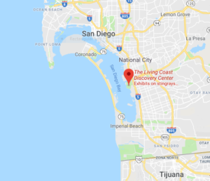
First, The Living Coast Discovery Center is in South Bay, San Diego-Chula Vista, 12.4 miles from Downtown San Diego.

San Diego South Bay consists of everything south of Downtown San Diego to the Mexican Border, including National City, Chula Vista, Coronado, and Imperial Beach.

San-Diego-Bay-Map-Living-Coast-Discovery-Center

1000 Gunpowder Point Dr, Chula Vista, CA 91910

(619) 409-5900

http://www.thelivingcoast.org

Hours- 10 am-5 pm daily

Adults (13+)            $16
Children (3-12)        $11
Children (0-2)          Free

Continue reading “Touring The Living Coast Discovery Center”

Whale Watching in Southern California

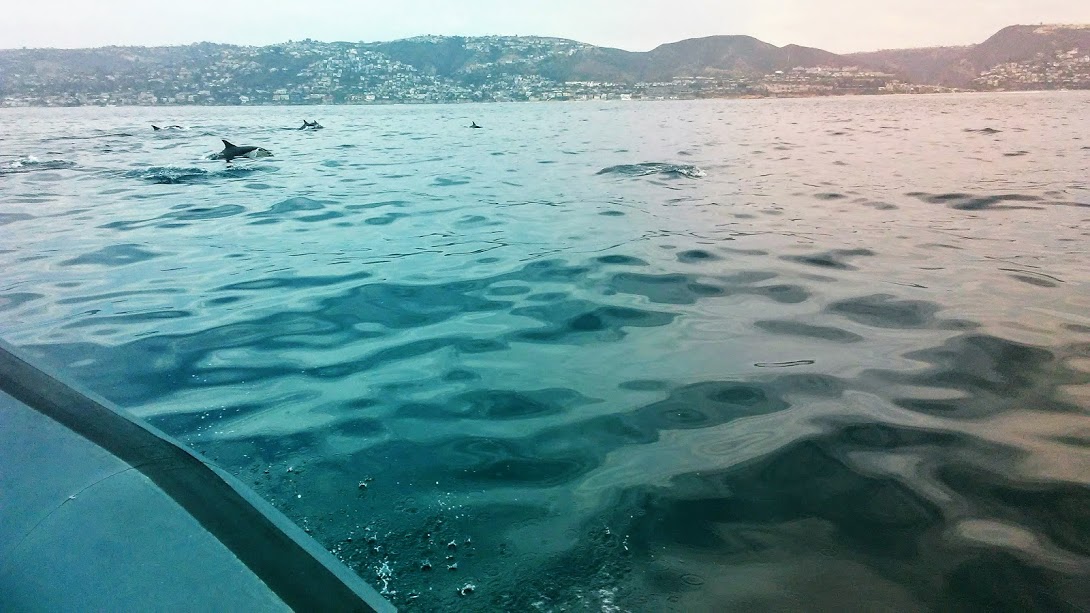
Short Beaked Common Dolphin Whale Watching In Southern California

On July 9th, 2018, my husband and I set off to Newport Beach to go whale watching for my 50th birthday present. You see, we both agreed to do something out of the ordinary for our monumental birthdays; I mean, how often do you turn 50? Ok, once, yes, I know, but it is a big deal, right?

If you ask anyone who knows me, they will tell you that I am a little crazy about whales. I also love the summer, so summer plus whales, now that calls for a celebration! Summertime whale watching in Southern California is an opportune time to see the most majestic whale there is- the blue whale. Oh, did I mention that the blue whale is my totem animal? More on that later.

Before this trip, I had not been whale watching in Southern California for over 20 years, so I was excited for this day!

First, I didn’t want to go on the traditional whale-watching cruise; I wanted to try something different. So today, we would be going on a RIB- a rigid inflatable boat out of Newport Landing, in Newport Beach Harbor in Orange County.

Continue reading “Whale Watching in Southern California”

Walking the Batiquitos Lagoon Trail

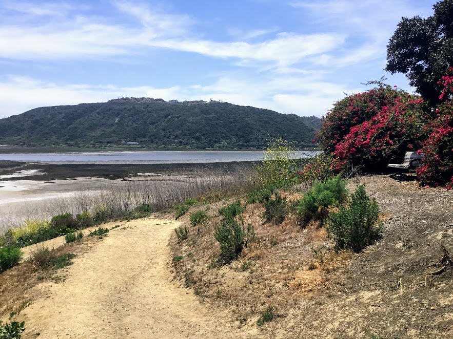
Batiquitos Lagoon sitting bench plants lagoon hills

Are you looking for a relatively easy trail to hike on in San Diego? Well, look no further as I have found the perfect spot! The Batiquitos Lagoon is between Carlsbad and Encinitas, and it is one of the last saltwater marshes in Southern California. Today I will be taking you on a tour of the 3.14-mile Batiquitos Lagoon Trail.

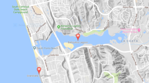
Batiquitos Lagoon Map topography

Let’s go!

7380 Gabbiano Lane, Carlsbad

760-931-0800

Nature Center-9am-3pm daily

Batiquitos Lagoon Foundation Information

Batiquitos Lagoon Trail-A Photo Tour

I was so happy to come here for the first time. I have always been curious about this lagoon, as you can see from the Interstate 5 freeway. Here are a couple of references for you. The first is a map of the lagoon and a list of all possible birds seen here. Finally, I added the Self-Guided Batiquitos Trail Map, highlighting several sites.

Fun Fact- Batiquitos translates to ‘little watering hole” in Spanish.

Continue reading “Walking the Batiquitos Lagoon Trail”

Exploring Trestles Beach Trail

Surfer trestles beach trail san onofre state beach

Trestles Beach is a collection of surf breaks located at the northern border of San Onofre State Beach. Saying that this beach is world-famous is an understatement! The Hurley Pro is held here!

I went over this area a bit in a previous post on San Onofre State Beach, but today I would like to concentrate on the Beach Trail leading to Trestles Beach.

The Beach Trail going east also becomes the Panhe Nature trail, which I have also written about if you are interested.

Recently, I have been teaching myself about all of the Southern California native plant species, so today, I would like to point out a few to you if you do not mind. It helps me!

Once we arrive at Trestles, I will also showcase the San Mateo Creek/ Lagoon, which ends at the beach, and check out the surfers and the dunes.

Continue reading “Exploring Trestles Beach Trail”

Agua Hedionda Lagoon Discovery Center

Agua Hedionda Lagoon Discovery Center

I can not tell you how excited I was to go and check out the Agua Hedionda Lagoon Discovery Center! I have always been fond of this lagoon. When I worked as a Fisheries Technician, I would find many shore anglers fishing on the western edge of this lagoon.

In San Diego, several lagoons and complimentary Nature Centers are filled with valuable information on local flora and fauna.

I have a page that lists all of these Coastal Lagoons and Nature Centers in San Diego County on my site here.

It has been my goal to visit everyone! Today is the day to check out the Agua Hedionda Lagoon Discovery Center!

Let’s go!

Continue reading “Agua Hedionda Lagoon Discovery Center”

San Elijo Lagoon Nature Center- The Nature Collective

San Elijo Lagoon Nature Center

Today, I would like to take you on a San Elijo Lagoon Nature Center tour between Encinitas to the north and Solana Beach to the south in San Diego, North County. have always wanted to explore the San Elijo Lagoon, as seen from HWY 101 and off Interstate 5.

Come and join me, would you?

Continue reading “San Elijo Lagoon Nature Center- The Nature Collective”

A Walk Around Buena Vista Lagoon

Buena Vista Lagoon

On the morning of March 9, 2018, my mother-in-law and I decided to trip to the Buena Vista Lagoon in Oceanside, California.

I had been here before but had never taken the quarter-mile hike around the Buena Vista Lagoon Audubon’s Nature Center.

I have been intrigued ever since, so we are back!

Come and join me for a tour!

Buena Vista Means “Good-View” In Spanish

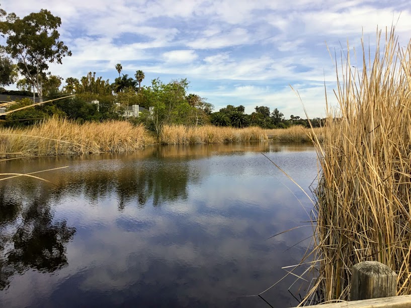
Buena Vista Lagoon Cattails trees
What a view from the Nature Centers observation deck!

2202 South Coast Hwy, Oceanside

760-439-2473

# Please click on each photo to see a larger version size.

Great Blue Heron Metal Statue

Let us now go over a few things before we take our hike.

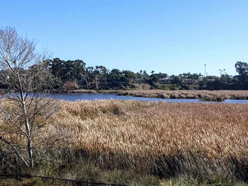
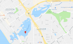
The Buena Vista Lagoon is 223 acres of freshwater wetland that serves as a natural barrier between two cities- Oceanside and Carlsbad.

It is also important to mention that there are no other freshwater lagoons in Southern California.

So, we have a unique coastal ecosystem here!

You may fish from shore, and hiking is allowed on designated trails only.

Buena Vista Lagoon Map

I have always wondered about this lagoon/ coastal wetland ever since I moved down here 30 years ago.

Not only do you notice it when driving on Interstate 5, but you can also see it on Hwy 78, which runs east.

This waterway (Buena Vista Creek) runs parallel to Hwy 78 for almost 10 miles inland.

Continue reading “A Walk Around Buena Vista Lagoon”