Exploring Trestles Beach Trail

Surfer trestles beach trail san onofre state beach

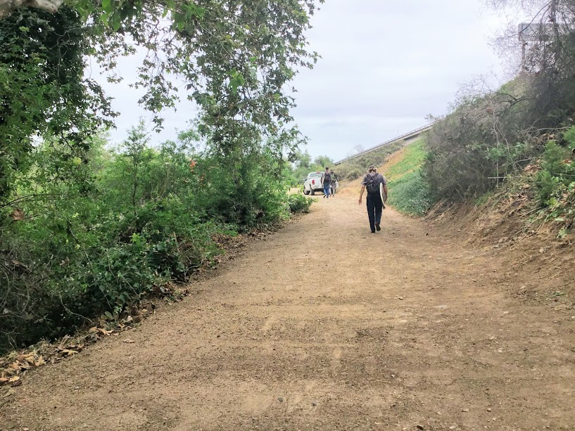
Trestles Beach is a collection of surf breaks located at the northern border of San Onofre State Beach. Saying that this beach is world-famous is an understatement! The Hurley Pro is held here!

I went over this area a bit in a previous post on San Onofre State Beach, but today I would like to concentrate on the Beach Trail leading to Trestles Beach.

The Beach Trail going east also becomes the Panhe Nature trail, which I have also written about if you are interested.

Recently, I have been teaching myself about all of the Southern California native plant species, so today, I would like to point out a few to you if you do not mind. It helps me!

Once we arrive at Trestles, I will also showcase the San Mateo Creek/ Lagoon, which ends at the beach, and check out the surfers and the dunes.

Continue reading “Exploring Trestles Beach Trail”

Walking The Panhe Nature Trail

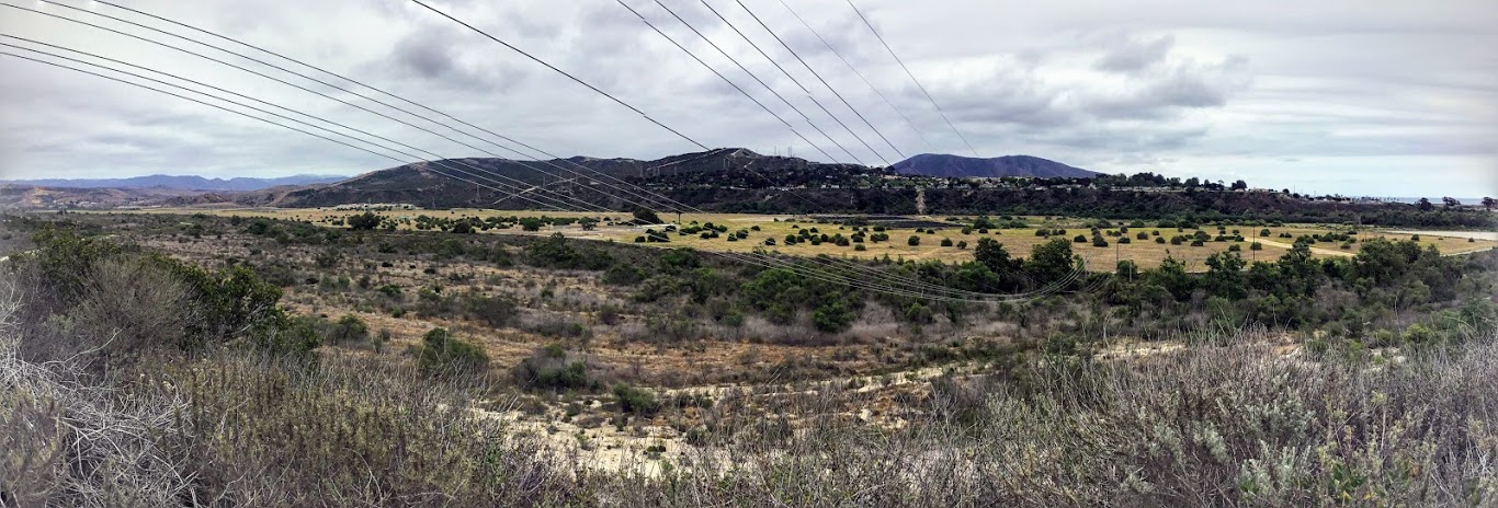
Panhe Nature Trail Panoramic

Panhe Nature Trail connects the San Mateo Campground to Trestles Beach on the Northeastern San Onofre State Beach border. Here you may witness firsthand what ‘Old California ‘ used to be.

Would you like to join me for a tour?

Let’s go.

Discovering The Panhe Nature Trail

San Mateo Campground Sign Panhe Nature Trail

Panhe was one of the largest villages of the Acjachemen (Ah-HAWSH-eh-men) native people who were the original inhabitants of Southern California (12,000BC-1542 AD).

In 1769, the first close contact between the Acjachemen,  Spanish explorers, and the Catholic Missionaries occurred at this spot. As well as the site for the very first baptism in California! The site is marked by a cross, which still stands today.

Continue reading “Walking The Panhe Nature Trail”

Hubbs Trail Tour at Agua Hedionda Lagoon

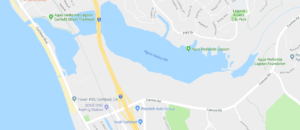
In Carlsbad, Agua Hedionda Lagoon is forty minutes north of downtown San Diego. The lagoon is over 400 acres and home to numerous plants and animals and a recreational playground for humans and leashed dogs!

Agua Hedionda Lagoon Google Map

There are several trails to choose from at the Agua Hedionda Lagoon. Today, we will explore the Hubbs Trail, situated closest to the Ocean at the northwestern portion of the lagoon.

Continue reading “Hubbs Trail Tour at Agua Hedionda Lagoon”

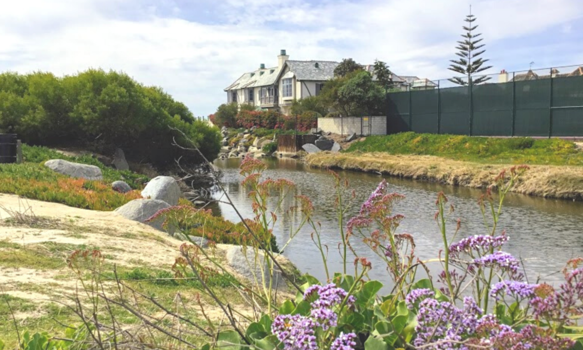
Agua Hedionda Lagoon Discovery Center

Agua Hedionda Lagoon Discovery Center

I can not tell you how excited I was to go and check out the Agua Hedionda Lagoon Discovery Center! I have always been fond of this lagoon. When I worked as a Fisheries Technician, I would find many shore anglers fishing on the western edge of this lagoon.

In San Diego, several lagoons and complimentary Nature Centers are filled with valuable information on local flora and fauna.

I have a page that lists all of these Coastal Lagoons and Nature Centers in San Diego County on my site here.

It has been my goal to visit everyone! Today is the day to check out the Agua Hedionda Lagoon Discovery Center!

Let’s go!

Continue reading “Agua Hedionda Lagoon Discovery Center”

San Elijo Lagoon Nature Center- The Nature Collective

San Elijo Lagoon Nature Center

Today, I would like to take you on a San Elijo Lagoon Nature Center tour between Encinitas to the north and Solana Beach to the south in San Diego, North County. have always wanted to explore the San Elijo Lagoon, as seen from HWY 101 and off Interstate 5.

Come and join me, would you?

Continue reading “San Elijo Lagoon Nature Center- The Nature Collective”

The Mystery of Saint Malo Beach

saint malo beach house buena vista lagoon

Have you ever walked down the southern Oceanside beaches? Did you know that there is a private beach named Saint Malo Beach at the very end, right near the border of Carlsbad?

The community of Saint Malo owns the part of the Buena Vista Lagoon closest to the Pacific Ocean.

Not much is known about this beach, and because of this, I was highly intrigued to learn more. I want to mention that there is hardly any information about this area on the internet right up front.

I spent countless hours trying to find something, anything!

Well,  I found just enough, so here I am to take you on a mini-tour of this infamous beach.

Come on!

Let’s have a look!

Continue reading “The Mystery of Saint Malo Beach”

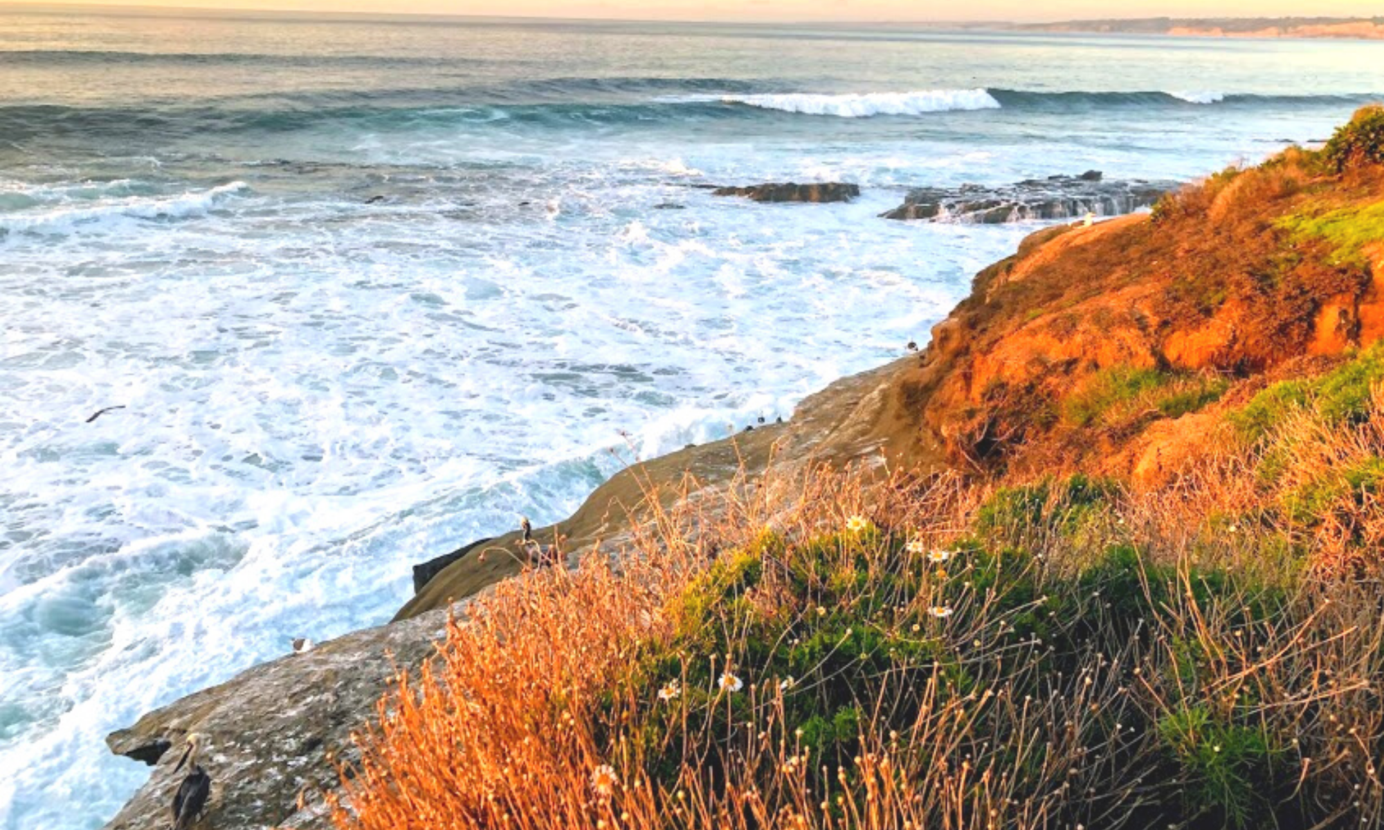
Showcasing the Best Beaches of La Jolla

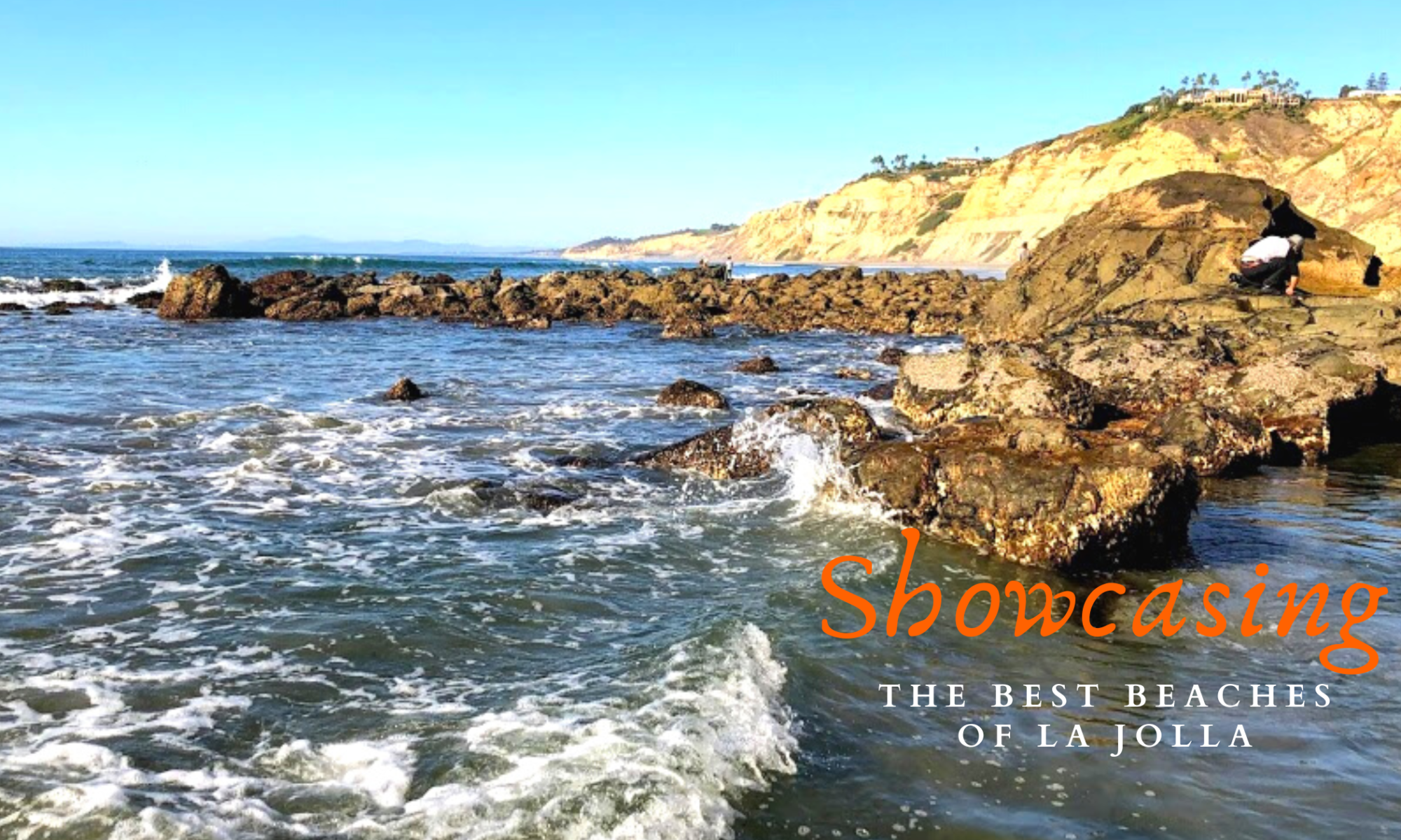
La Jolla Best beaches featured image

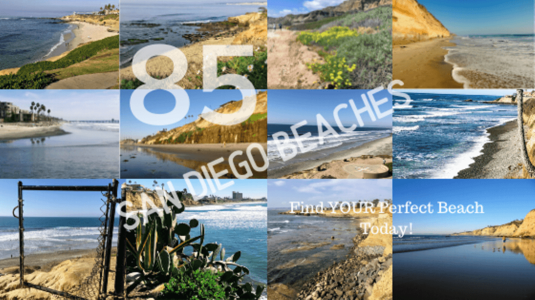
Today I would like to showcase a few of the best beaches of La Jolla in the hope that the beauty and wonder will encourage others to visit San Diego and experience the loveliness firsthand.

 La Jolla is a seaside community situated on top of towering cliffs overlooking the Pacific Ocean, located 20 minutes north of Downtown San Diego.

Continue reading “Showcasing the Best Beaches of La Jolla”

Exploring North Pacific Beach

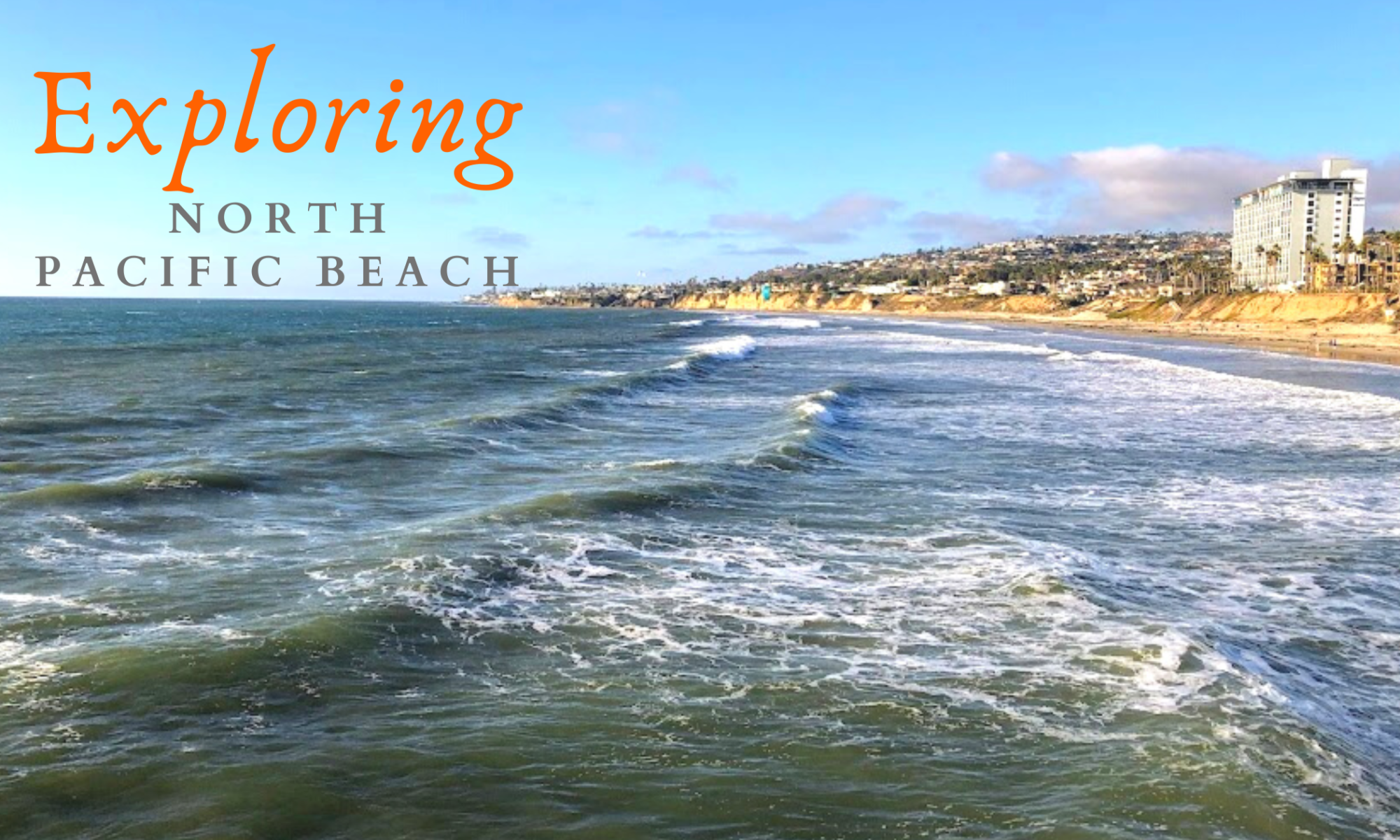
north pacific beach waves featured image

One day I decided to head down to the coast to do more research on my website. So,  I had my itinerary ready, with over 12 beaches to check out, starting with North Pacific Beach.

I was fortunate that it was such a lovely day, and it was so warm that I didn’t even need a jacket. Where else can you experience the mid-70s in the winter but Southern California?

 My “Beaches of San Diego County” was a big help. Here, I  have linked each beach’s address to Google Maps.

Continue reading “Exploring North Pacific Beach”

Torrey Pines State Beach

Torrey Pines State Beach Panoramic Bluffs

Torrey Pines State Beach is located between La Jolla and Del Mar.  I have been visiting this beach for over 30 years and have never been tired of the sights.

While living in San Diego, this was our number one beach to come and visit.

I discovered Torrey Pines State Beach while working as a Fisheries Technician. This beach is a prime spot for surf fishing, and I can not think of a better place to have to work!

I love it here so much!

Continue reading “Torrey Pines State Beach”

Touring 10 Beaches-North County San Diego

North County San Diego

Living in Southern California, I have photographed many North County San Diego beaches. But I have not gotten even close to shooting every one of them!

So, it has been my mission this year to shoot every beach on the 70 miles of the San Diego coastline.

 Ok, let’s get going!

 Beaches of North County San Diego

On Jan 11, 2018, my daughter and I quickly rode to North County, San Diego, to photograph a few beaches.

—>The Beaches of San Diego County<—

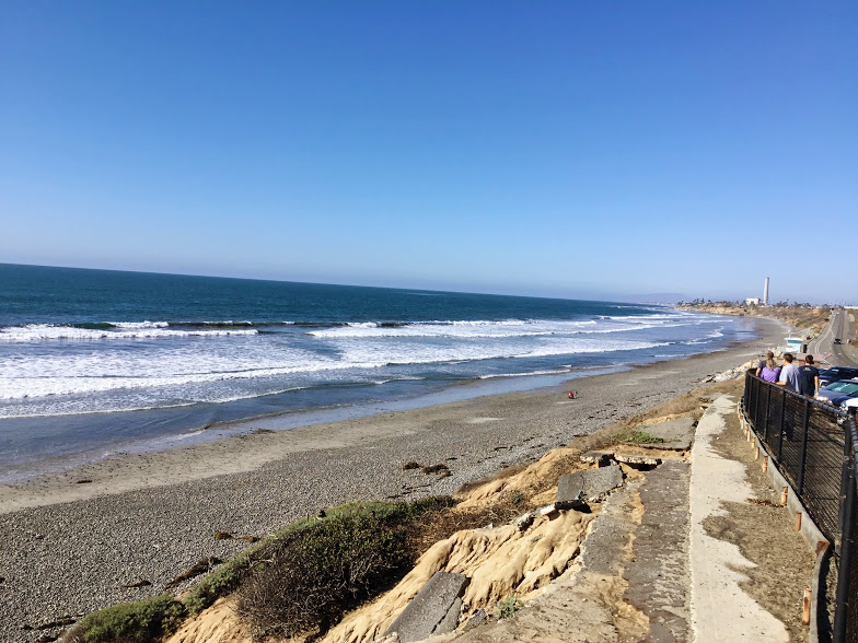
Before leaving, I mapped out the ten shores we would be conquering. Our primary objective was to start at Wisconsin Street Beach in Oceanside, followed by the beaches of Carlsbad, and finally, end at Grandview Beach in Encinitas.

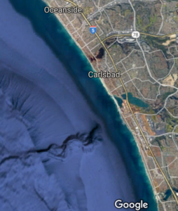
Oceanside Carlsbad Google Map North County San Diego
11.4 miles of coast covered

All in all, we covered 11.4 miles of San Diego’s 70 miles of coastline.

If there is one thing I have learned on the adventure, all these beaches listed below are best to visit on a mid to low-tide day, especially the beaches in Oceanside.

Continue reading “Touring 10 Beaches-North County San Diego”

The Beaches of San Diego County-Updated 2020

Stonesteps Beach Beaches of San Diego County

Here I would like to set up a comprehensive list of the beaches of San Diego County, beginning with the most northern shore and making my way down the coast until the most southern Beach sharing its border with Mexico.

For all those living in San Diego, we are incredibly fortunate to live in this gorgeous city. With an average daytime temperature of 69.8` F, what is not to love?

San Diego County has over 70 miles of unique coastline to appreciate and explore!

Experience San Diego Like a Local!

Having been fortunate enough to live in this area for over 30 years, I have explored almost every mile, except on the military beaches (San Diego has three of them. But I got a few pictures from the outside looking in, and I am grateful for that.

About two years ago, I made a pact to document as many of the beaches of San Diego County as I could. To make things as easy as possible, I will be listing each Beach and including the following criteria-

  • Map
  • Activities Available
  • Restrooms
  • Parking
  • Points of Interest
  • My Rating (1-5, with five being the highest)
  • Additional Information

(As you can see, restroom availability is a critical metric!)

I have written previously on many of these locations, so  I will also link each relevant post under Additional Information.

(Please look and share it with those you love.)

Whether you go to the Beach for the sun, water, or to walk on the sand, the beaches of San Diego County have something for everyone.

Let’s have a look!

Continue reading “The Beaches of San Diego County-Updated 2020”

Beaches of Encinitas-A Photo Tour

beaches of encinitas

Beacon's Beach Beaches of Encinitas

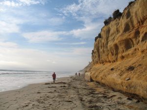
I have been visiting Encinitas’s beaches for over thirty years, and I have many pictures to prove it! If I had to pick my favorite stretch of beaches on the 70 miles of coast in San Diego, it would have to be the beaches of Encinitas.

Would you like to join me on tour?

Let’s Go!

Continue reading “Beaches of Encinitas-A Photo Tour”

Swami’s State Beach-Hidden Paradise

Sunset at Swami's State Beach

Swami's State Beach Sunset

As I have said many, many times, San Diego has some of the best beaches in the country. Most are well known and are almost always busy, but there are a few that not many know about. Today I would like to concentrate on one of my favorites, Swami’s State Beach.

This hidden beach oasis is situated toward the southern end of Encinitas, California, about 25 miles north of Downtown San Diego.

Would you like to come and join me for a tour?

Let’s go!

Continue reading “Swami’s State Beach-Hidden Paradise”

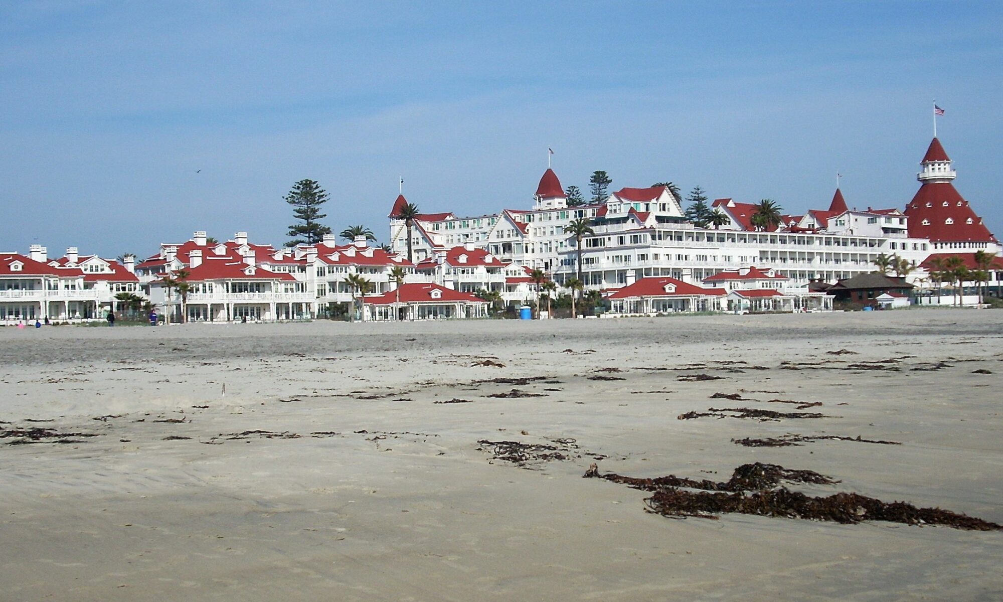
Exploring Coronado Island San Diego CA

Hotel del Coronado Coronado Island San Diego CA
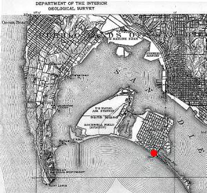
Map Coronado and North Island-1918
Map of Coronado-note the ‘small neck of land (The Silver Strand) toward the right corner of the map.

Every year, Coronado Beach makes the Top 10 beaches in the US. This beach is one of my children’s favorite, as well. Coronado Island in San Diego, CA, can be seen across San Diego Bay from Downtown San Diego.

In particular, we enjoy the vast sandy beaches and adore going to the Hotel del Coronado, located less than a mile from our starting point.

Would you like to tour Coronado Island in San Diego, CA? Well, you have come to the right place. Come and join me on an epic adventure, going back in time and staying in the present simultaneously!

Let’s go!

Continue reading “Exploring Coronado Island San Diego CA”

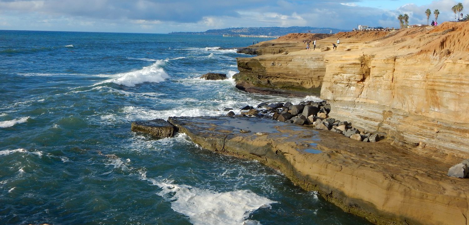
Discover Sunset Cliffs Natural Park

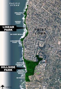
Sunset Cliffs Natural Park Map
Aerial Map of Sunset Cliffs Natural Park.

Sunset Cliffs Natural Park is over 18 acres of cliffs adjacent to the Western coast of Point Loma, beginning at Ladera Street.

There is a sandy trail that runs parallel to Sunset Cliffs Boulevard that makes for a gorgeous walk.  Whenever we have company visiting from out of town and want to show off our coastline, this is where we go.

The Beauty and Wonder of Sunset Cliffs Natural Park


Above is a short video that showcases the beauty of the cliffs next to the water.

Continue reading “Discover Sunset Cliffs Natural Park”