Coast to Crest Trail-San Dieguito Lagoon

San Dieguito River Del Mar

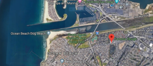
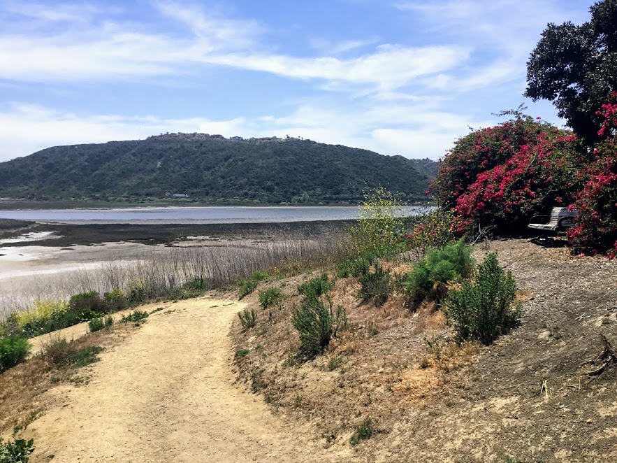
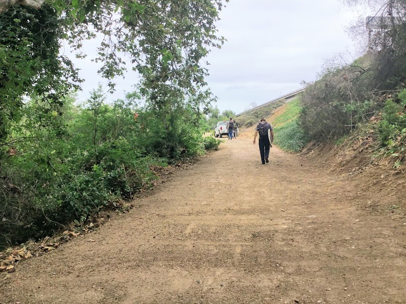
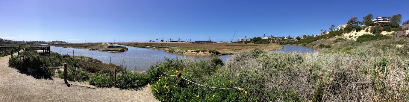
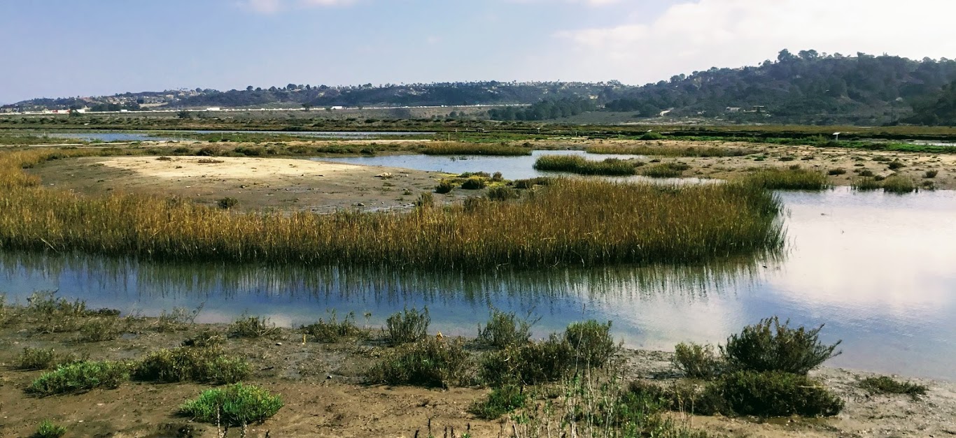
A couple of months ago, I went down to the San Dieguito Lagoon in Del Mar to walk on the Coast to Crest Trail. Did you know that San Diego County has six coastal lagoons? The San Dieguito Lagoon is the largest of them all.

This past year, I have been having a blast visiting all of the San Diego Lagoons and Nature Centers, and this was the last lagoon to see on my list.

Coast to Crest trail sign Del Mar

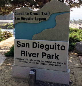
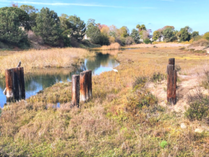
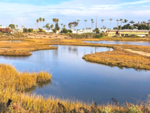
Walking the Coast to Crest Trail at the San Dieguito Lagoon

The San Dieguito Lagoon is located in North County, San Diego, 21 miles north of Downtown San Diego. The lagoon is part of the San Dieguito River Park, which spans over 92,000 acres!

Continue reading “Coast to Crest Trail-San Dieguito Lagoon”
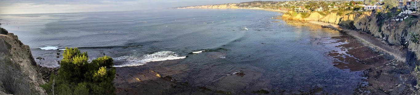
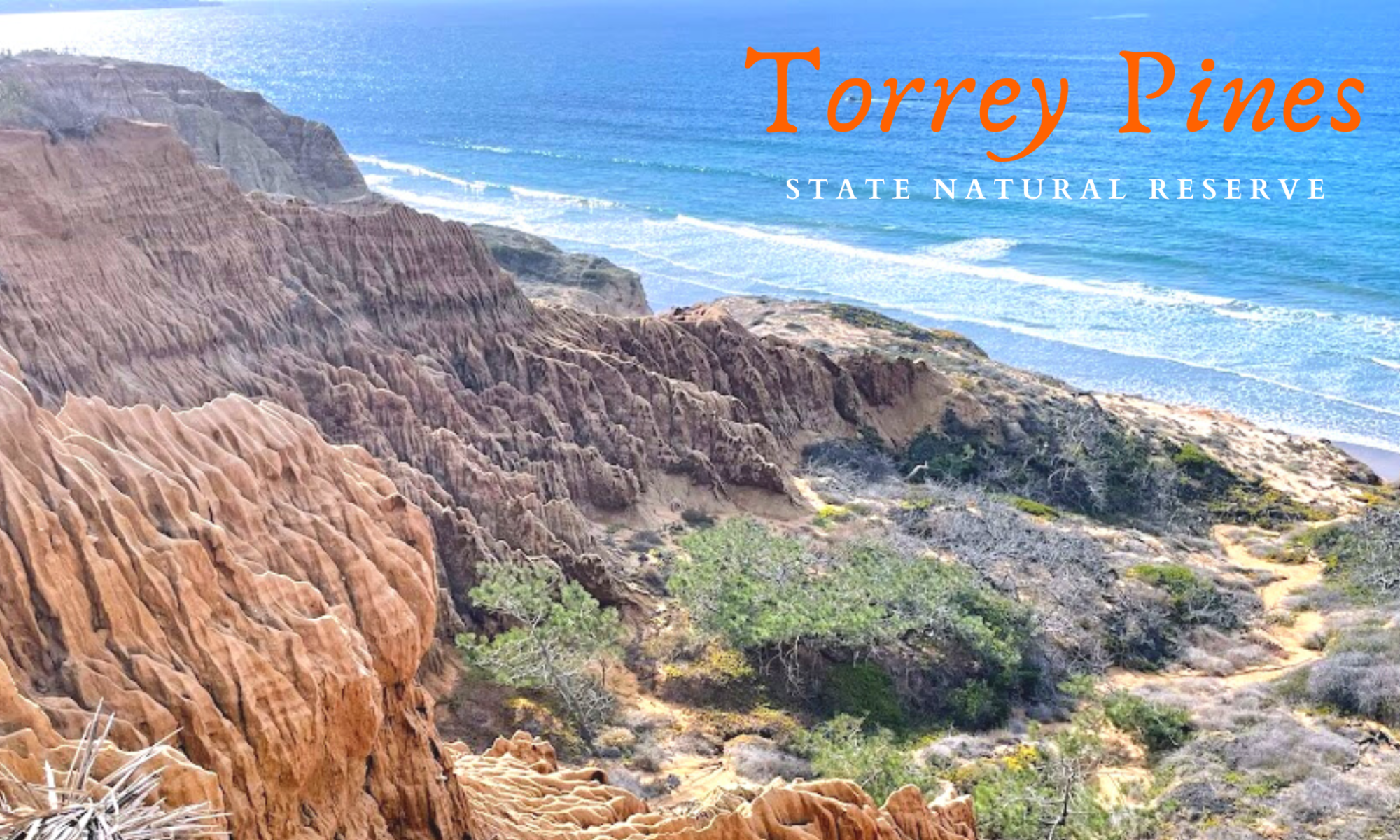
La Jolla Coast Walk Trail-Let’s Go!

I am ashamed to admit that even though I have lived in the San Diego area for over 30 years, I have never heard of, much less been on, the La Jolla Coast Walk Trail.

Do not get me wrong, because I have been up and down the coast of La Jolla (pronounced La Hoya) more than I can count. It is one of my most revered areas in San Diego. So when I came across this hiking trail while researching, I knew I must go! Would you like to join me on a tour of the La Jolla Coast Trail?

Before we start our tour, I would like to mention that I have written extensively about walking the La Jolla coastline in a previous post, Let’s Take a La Jolla Coast Walk.

But to be fair, that post only concentrated on the area just west of Downtown La Jolla and ended at The Cave Store. Today I would like to continue the hike by following the path past The Cave Store and walking on the official La Jolla Coast Walk Trail. Confusing? Well, I sure hope not after you finish reading this!

Ready?

Continue reading “La Jolla Coast Walk Trail-Let’s Go!”

Slough What? Discovering Famosa Slough

Famosa slough sign ocean beach california

Hi! Have you ever explored a wetland before? Today, I would like to share a place that you would never expect to be so wonderful-Famosa Slough in Ocean Beach. First off, what is a slough? According to the dictionary, a slough (pronounced slōō)  is a swamp or shallow lake, usually the backwater of a larger body of water with relatively low water circulation.

In other words, we can think of a  slough as a wetland a little farther from the shore than a lagoon where the mouth opens to the Ocean. Another way to look at it is that a slough is the part of the estuary where fresh water from creeks and urban runoff mix with the salty ocean water transported by the tides.

Where is the Famosa Slough?

Famosa Slough Google Map

4275-4283 W Point Loma Blvd

The Famosa Slough is located directly south of the San Diego River Flood Control Channel and is 6 miles north of Downtown San Diego in the lovely town of Ocean Beach.

Famosa Slough comprises 37 acres of wetland between the San Diego River Channel and the residential neighborhoods surrounding the San Diego Sports Arena.

Continue reading “Slough What? Discovering Famosa Slough”

Walking the Batiquitos Lagoon Trail

Batiquitos Lagoon sitting bench plants lagoon hills

Are you looking for a relatively easy trail to hike on in San Diego? Well, look no further as I have found the perfect spot! The Batiquitos Lagoon is between Carlsbad and Encinitas, and it is one of the last saltwater marshes in Southern California. Today I will be taking you on a tour of the 3.14-mile Batiquitos Lagoon Trail.

Batiquitos Lagoon Map topography

Let’s go!

7380 Gabbiano Lane, Carlsbad

760-931-0800

Nature Center-9am-3pm daily

Batiquitos Lagoon Foundation Information

Batiquitos Lagoon Trail-A Photo Tour

I was so happy to come here for the first time. I have always been curious about this lagoon, as you can see from the Interstate 5 freeway. Here are a couple of references for you. The first is a map of the lagoon and a list of all possible birds seen here. Finally, I added the Self-Guided Batiquitos Trail Map, highlighting several sites.

Fun Fact- Batiquitos translates to ‘little watering hole” in Spanish.

Continue reading “Walking the Batiquitos Lagoon Trail”

Exploring Trestles Beach Trail

Surfer trestles beach trail san onofre state beach

Trestles Beach is a collection of surf breaks located at the northern border of San Onofre State Beach. Saying that this beach is world-famous is an understatement! The Hurley Pro is held here!

I went over this area a bit in a previous post on San Onofre State Beach, but today I would like to concentrate on the Beach Trail leading to Trestles Beach.

The Beach Trail going east also becomes the Panhe Nature trail, which I have also written about if you are interested.

Recently, I have been teaching myself about all of the Southern California native plant species, so today, I would like to point out a few to you if you do not mind. It helps me!

Once we arrive at Trestles, I will also showcase the San Mateo Creek/ Lagoon, which ends at the beach, and check out the surfers and the dunes.

Continue reading “Exploring Trestles Beach Trail”

San Elijo Lagoon Nature Center- The Nature Collective

San Elijo Lagoon Nature Center

Today, I would like to take you on a San Elijo Lagoon Nature Center tour between Encinitas to the north and Solana Beach to the south in San Diego, North County. have always wanted to explore the San Elijo Lagoon, as seen from HWY 101 and off Interstate 5.

Come and join me, would you?

Continue reading “San Elijo Lagoon Nature Center- The Nature Collective”

Torrey Pines State Beach

Torrey Pines State Beach Panoramic Bluffs

Torrey Pines State Beach is located between La Jolla and Del Mar.  I have been visiting this beach for over 30 years and have never been tired of the sights.

While living in San Diego, this was our number one beach to come and visit.

I discovered Torrey Pines State Beach while working as a Fisheries Technician. This beach is a prime spot for surf fishing, and I can not think of a better place to have to work!

I love it here so much!

Continue reading “Torrey Pines State Beach”

Exploring Torrey Pines State Natural Reserve

Torrey Pines State Natural Reserve featured image

Torrey Pines State Natural Reserve is a 2000-acre park located in the community of La Jolla in San Diego, California, off North Torrey Pines Rd. Nothing here has ever been altered or diverted at Torrey Pines State Natural Reserve, making it one of the wildest coastal stretches left in California.

I can not emphasize enough just how beautiful this Reserve is!

Come and join me for a tour!

Torrey Pine Tree Torrey Pines State Natural Reserve

 What is a Reserve?

Everything here and surrounding the Torrey Pines State Natural Reserve is a protected area. That includes the Penasquitos River Valley east of the highway, one of the last salt marsh estuaries in San Diego, and the Underwater Ecological Reserve offshore.

A Reserve is not a ‘park,’ but an assigned area of importance and commonly contains threatened plants, animal habitats, or unique geological formations.

Over 300 birds and native plant species are threatened or endangered within the Torrey Pines State Natural Reserve. The Torrey Pine, the Reserve’s namesake, is a scarce endangered pine tree- the rarest pine tree in the United States, but more on that later.

Continue reading “Exploring Torrey Pines State Natural Reserve”