Big Waves in January

San Diego Big Waves January featured image

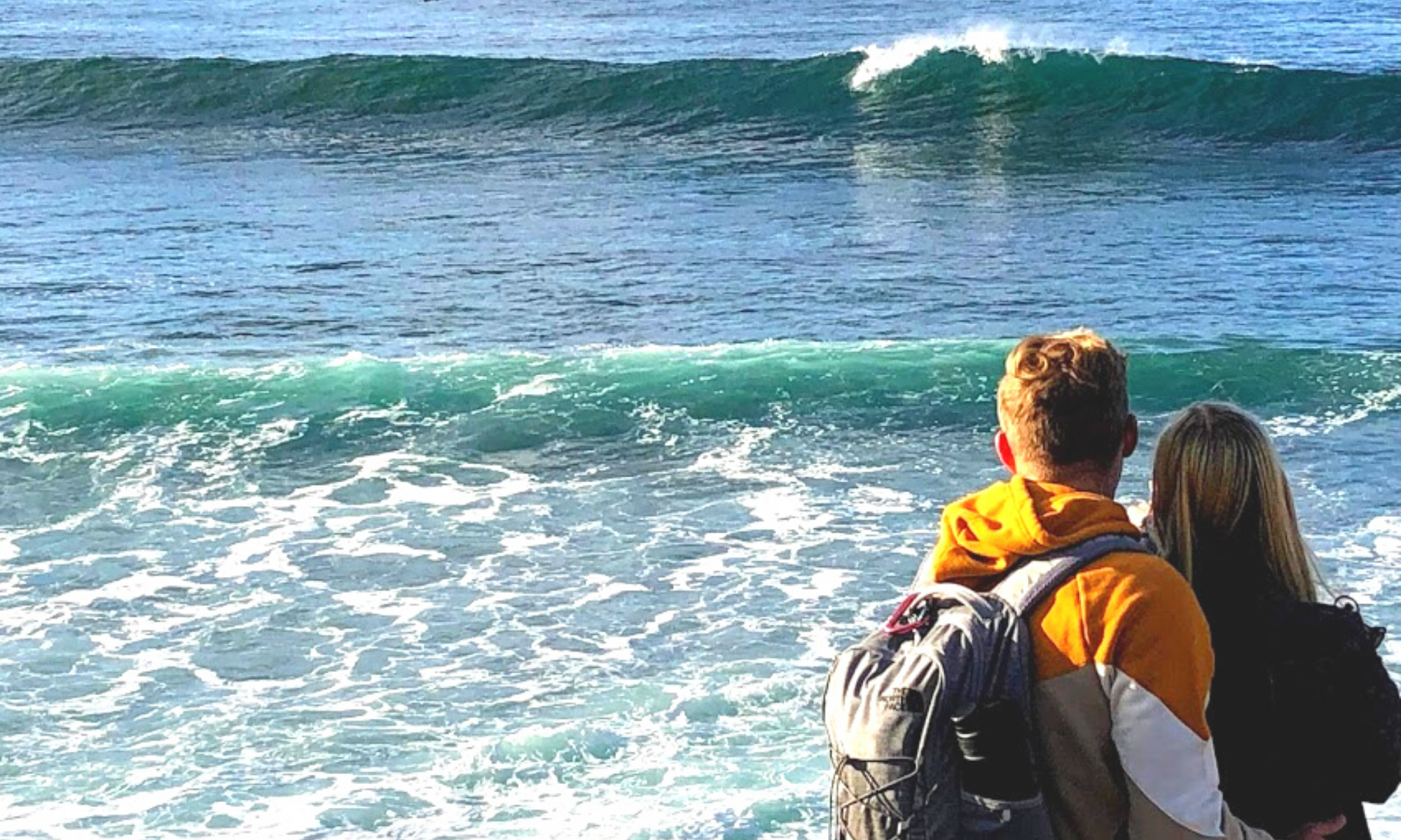
So did you hear about the massive storm that Southern California endured on January 6th? Did you know that there also was a Full Moon on January 6th? It sounds like a perfect combination to me. There were reports of waves reaching the insane height of over 20 feet in some spots! Unfortunately, I wasn’t able to get to the coast to have a look on that incredible weekend, but I was available on the 11th. I looked at the surf report for the second week in January, and Wednesday the 11th looked like the best bet in catching a few shots of big waves with my camera; hurray!

Join me as I journey down the coast, first Oceanside, then Carlsbad, and finally ending my adventure at Swami’s in Encinitas.

Just How Big Were the Waves on January Sixth in San Diego?

The storm came onshore in San Diego early on Thursday,  January 5th. The National Weather Service anticipated widespread coastal flooding, heavy rains, high winds (20 to 30 mph), and massive surf.

Also, the storm has been described as a ‘bomb cyclone’ because it started as a low-pressure system that rapidly intensified into a massive storm that created a west-northwest swell. So needless to say,  W to NW facing beaches experienced the largest waves.

How massive were the waves, you ask?

  • Oceanside Pier- 7 to 10 feet
  • Carlsbad State Beach- 4 to 5 feet
  • South Ponto- 5 to 7 feet
  • Encinitas- 8 to 9 feet
  • Black’s Beach- 15 to 20 feet
  • La Jolla Cove- 18 to 20 feet
  • Mission Beach- 18 feet
  • Imperial Beach- 9 to 10 feet

Continue reading “Big Waves in January”

2022 Year in Review

2022 review image san diego beach secrets

Boy, oh boy! What a year 2022 was! Yes? I didn’t get to the coast as much as I had wished, but I did have many stellar moments! Today as an homage to the year, I would like to share the best of the best photography and a few moments revisited in my annual 2022 year in review.

Please bear with me as I am trying to remember everything by just looking back at the photos.

Ready?

Let’s go!

January 2022- Bird Rock La Jolla

camino tidepools bird rock la jolla

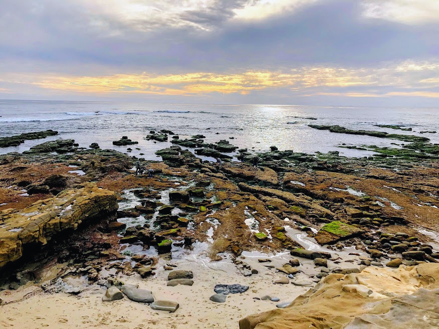
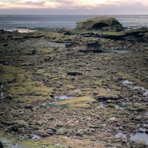
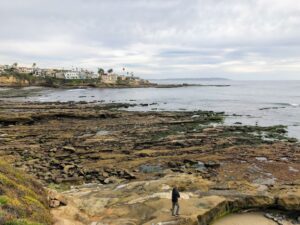
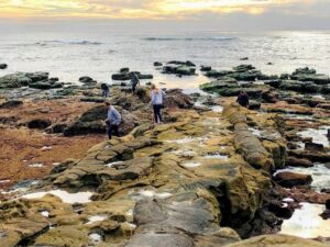
I can’t tell you how awesome it was to experience La Jolla on an extremely low tide; the views here are more than otherworldly.

Notable Moments

One thing that stuck out to me today was the number of dogs walking around on the tide pools. This area is a part of a State Marine Conservation Area, so seeing the dogs walking on the tide pools made me cringe.

I was thrilled that I was able to witness Bird Rock on a King Low Tide because the last time I experienced this was in 1990! I had a marine invertebrate zoology field trip while in college.

My only regret was that we didn’t walk further north, as I would have loved to see what Calumet Beach looked like. I love how the waves sound over there because of the large stones hitting each other.

Continue reading “2022 Year in Review”

Best San Diego Family Beaches

Moonlight 7 1 family beach san diego featured image

Welcome to San Diego Beach Secrets! Today I would like to concentrate on the best San Diego family beaches. San Diego’s 70 miles of coastline has many different types of beaches. The variety is endless, some of which you can only reach four times a year. But what does constitute a great family beach? My first pick would be calm waters, followed by soft sand, maybe a playground? But most definitely a restroom and showers. So, today I will be highlighting where, when, and how each beach is ideal for a spectacular family day at the beach.

Ready?

Let’s go!

—>Beaches of San Diego County<—

Best North County San Diego Beaches for Families

Oh, how I love North County San Diego Beaches! These beaches (sans Oceanside) have huge and gorgeous sandstone bluffs accentuating the already beautiful Pacific Ocean.

Down below, I have three wonderful family beaches to share with you!

Let’s go!

Oceanside Harbor Beach- Family Fun in Oceanside

oceanside pier sand ocean waves

button map buccaneer beach oceanside

Oceanside Harbor beach is excellent for families because there are many amenities. What I think is the main draw is the extensive sandy beach.

Continue reading “Best San Diego Family Beaches”

Carlsbad Sea Wall Trail-A Closer Look

Robert Frazee Beach Carlsbad San Diego

On the morning of April 29th, I woke up on a mission. A mission to take in some glorious sights and breathe in some crisp and clean ocean air. I wasn’t sure where to start this adventure, so I let my instincts guide me. While driving to the coast, several ideas pop in and out of my head. So today, I decided to take a closer look at the Carlsbad Sea Wall Trail, which is extremely popular in North Carlsbad.

—>Beaches of San Diego County<—

Below is an outline of the Beaches of Carlsbad. On this particular day, I visited all the beaches except South Ponto.

Carlsbad State Beach

  • Robert Frazee State Beach
  • Tamarack State Beach
  • Warm Water Jetty Beach

South Carlsbad State Beach

  • Terramar State Beach
  • North Ponto State Beach
  • South Carlsbad State Beach
  • South Ponto

Exploring the Carlsbad State Beach

Robert Frazee state beach sign

button map Robert Frazee State Beach

Today, I thought I would start over at Robert Frazee Beach, where Carlsbad State Beach’s northern boundary begins. A small parking lot is located off Oak Ave and Ocean St, but I found a parking spot right off Pine Street in the residential area.

Continue reading “Carlsbad Sea Wall Trail-A Closer Look”

Five Hidden Gems In San Diego

Del Mar Dog Beach Hidden Gems In San Diego

I have wanted to write this post for quite some time. Since starting this website, I have found some gorgeous hidden gems in San Diego while out in the ‘field’ doing research, and I am here to share!

San Diego Hidden Gems? 

So what do I mean by a hidden gem? Hidden in plain sight might be a better way to put it. Not much is known about it. Maybe locals are keen, but the average San Diegan and the new-to-town tourists have no idea.

Coastal Hidden Gems in San Diego

Also, today I will concentrate on the coastline of San Diego County- seventy miles of coast that stretches all of the way down to the border of Mexico.

I have also included a video featuring each hidden gem in San Diego.

Let’s look at the top five places on my list so far, shall we?

Continue reading “Five Hidden Gems In San Diego”

Walking the Batiquitos Lagoon Trail

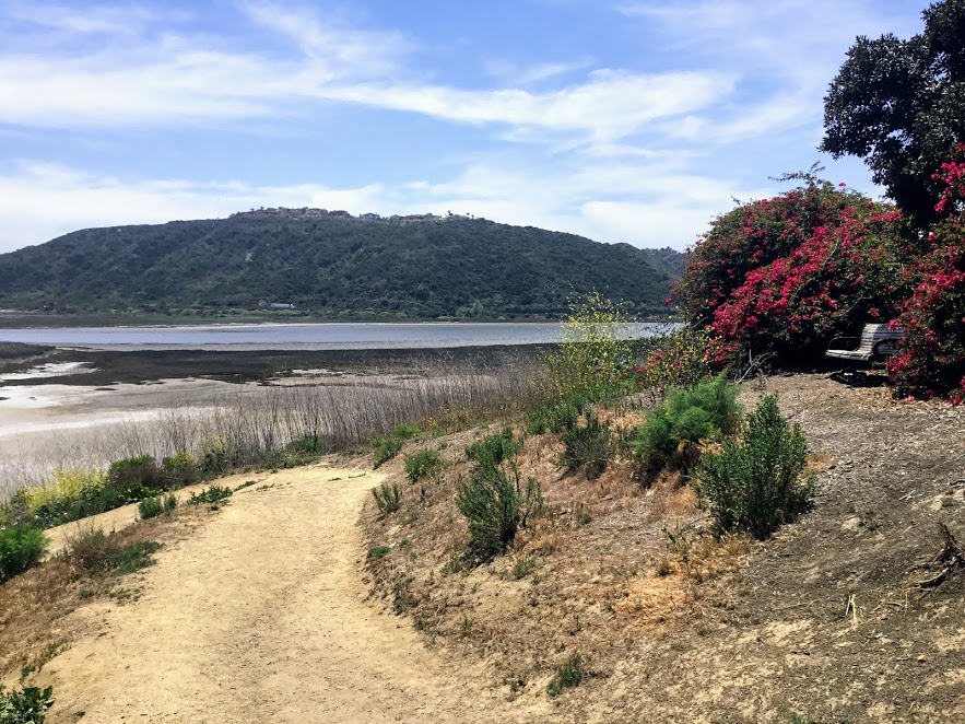
Batiquitos Lagoon sitting bench plants lagoon hills

Are you looking for a relatively easy trail to hike on in San Diego? Well, look no further as I have found the perfect spot! The Batiquitos Lagoon is between Carlsbad and Encinitas, and it is one of the last saltwater marshes in Southern California. Today I will be taking you on a tour of the 3.14-mile Batiquitos Lagoon Trail.

Batiquitos Lagoon Map topography

Let’s go!

7380 Gabbiano Lane, Carlsbad

760-931-0800

Nature Center-9am-3pm daily

Batiquitos Lagoon Foundation Information

Batiquitos Lagoon Trail-A Photo Tour

I was so happy to come here for the first time. I have always been curious about this lagoon, as you can see from the Interstate 5 freeway. Here are a couple of references for you. The first is a map of the lagoon and a list of all possible birds seen here. Finally, I added the Self-Guided Batiquitos Trail Map, highlighting several sites.

Fun Fact- Batiquitos translates to ‘little watering hole” in Spanish.

Continue reading “Walking the Batiquitos Lagoon Trail”

List of San Diego Beach Camping Sites

San Elijo State Beach San Diego Beach Camping

Here I present to you a list of San Diego beach camping sites. I will be starting up north and making my way down south, and I have also included RV camping sites. With San Diego having over 70 miles of coastline, I have found all the spots where you can experience the beach up close and personal, whether in a tent or an RV!

Each address is linked to a google map and an appropriate website so you may get more information.

Also, that information will be included if I have ever written about any area.

Let’s have a look!

Continue reading “List of San Diego Beach Camping Sites”

Hubbs Trail Tour at Agua Hedionda Lagoon

In Carlsbad, Agua Hedionda Lagoon is forty minutes north of downtown San Diego. The lagoon is over 400 acres and home to numerous plants and animals and a recreational playground for humans and leashed dogs!

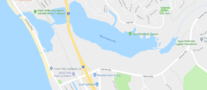
Agua Hedionda Lagoon Google Map

There are several trails to choose from at the Agua Hedionda Lagoon. Today, we will explore the Hubbs Trail, situated closest to the Ocean at the northwestern portion of the lagoon.

Continue reading “Hubbs Trail Tour at Agua Hedionda Lagoon”

Agua Hedionda Lagoon Discovery Center

Agua Hedionda Lagoon Discovery Center

I can not tell you how excited I was to go and check out the Agua Hedionda Lagoon Discovery Center! I have always been fond of this lagoon. When I worked as a Fisheries Technician, I would find many shore anglers fishing on the western edge of this lagoon.

In San Diego, several lagoons and complimentary Nature Centers are filled with valuable information on local flora and fauna.

I have a page that lists all of these Coastal Lagoons and Nature Centers in San Diego County on my site here.

It has been my goal to visit everyone! Today is the day to check out the Agua Hedionda Lagoon Discovery Center!

Let’s go!

Continue reading “Agua Hedionda Lagoon Discovery Center”

A Walk Around Buena Vista Lagoon

Buena Vista Lagoon

On the morning of March 9, 2018, my mother-in-law and I decided to trip to the Buena Vista Lagoon in Oceanside, California.

I had been here before but had never taken the quarter-mile hike around the Buena Vista Lagoon Audubon’s Nature Center.

I have been intrigued ever since, so we are back!

Come and join me for a tour!

Buena Vista Means “Good-View” In Spanish

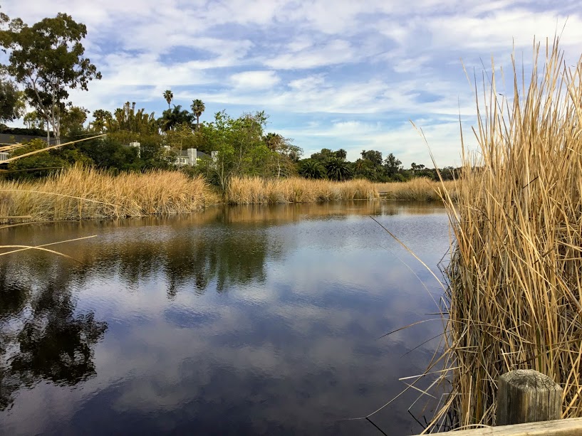
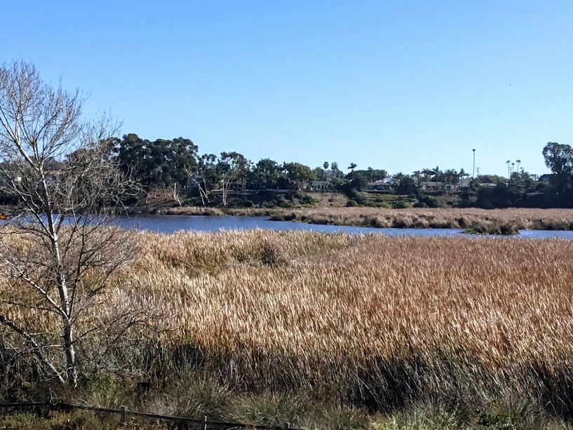
Buena Vista Lagoon Cattails trees
What a view from the Nature Centers observation deck!

2202 South Coast Hwy, Oceanside

760-439-2473

# Please click on each photo to see a larger version size.

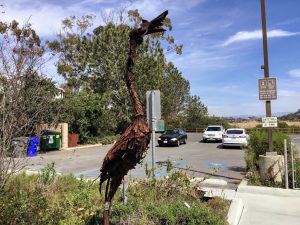
Great Blue Heron Metal Statue

Let us now go over a few things before we take our hike.

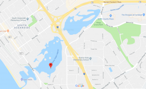
The Buena Vista Lagoon is 223 acres of freshwater wetland that serves as a natural barrier between two cities- Oceanside and Carlsbad.

It is also important to mention that there are no other freshwater lagoons in Southern California.

So, we have a unique coastal ecosystem here!

You may fish from shore, and hiking is allowed on designated trails only.

Buena Vista Lagoon Map

I have always wondered about this lagoon/ coastal wetland ever since I moved down here 30 years ago.

Not only do you notice it when driving on Interstate 5, but you can also see it on Hwy 78, which runs east.

This waterway (Buena Vista Creek) runs parallel to Hwy 78 for almost 10 miles inland.

Continue reading “A Walk Around Buena Vista Lagoon”