A Few Plants at Famosa Slough

famosa slough featured image

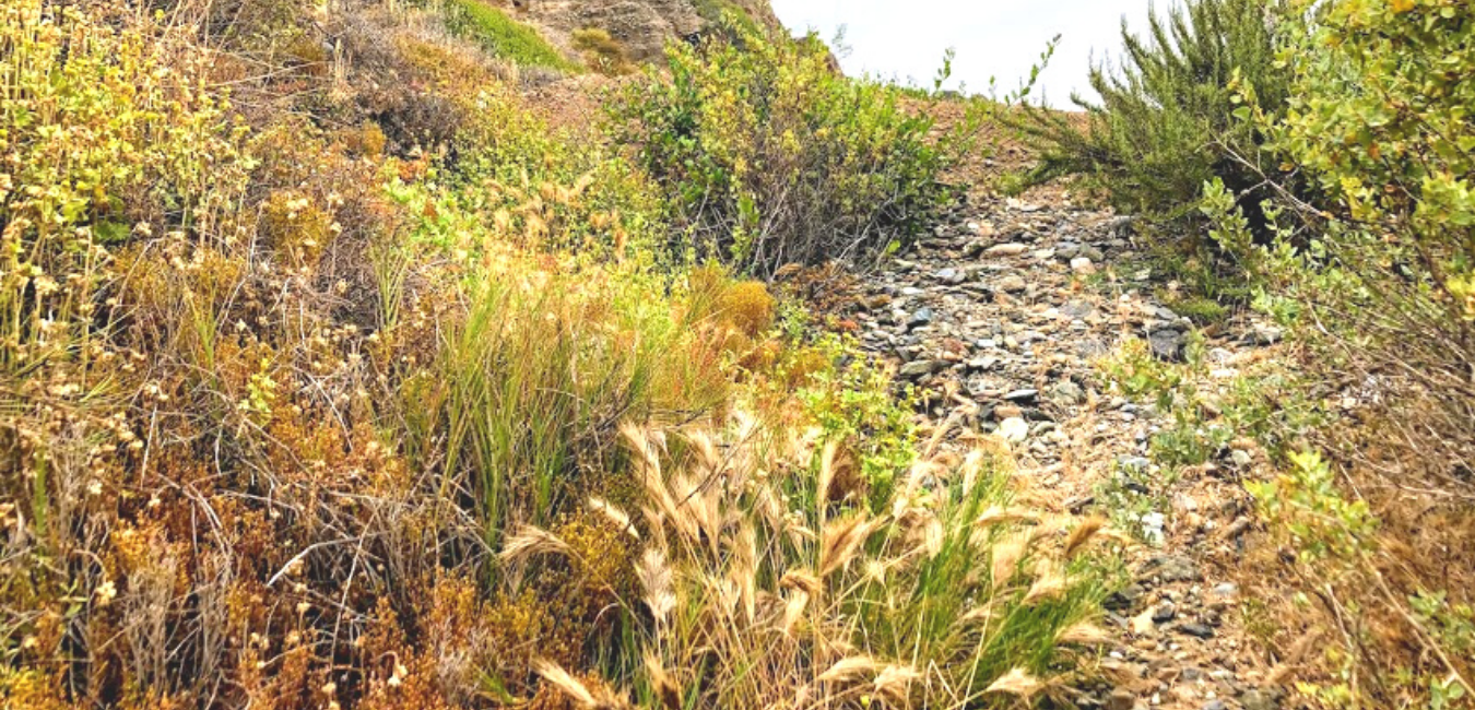
Last month, on November 23rd, my girls went to Famosa Slough because I wanted to check out and see how the plants were doing. I knew that the toyon and buckwheat were in bloom, but what other surprises were we in for? I can tell you upfront that I saw my first California boxthorn bush! Have you ever seen one in the wild?

So today, I wish to keep things casual, seeing that I have written more in-depth about almost all of these plants.

Please see the links down below if you would like further information.

A Few Famosa Slough Facts
Famosa slough map google maps

button-map-Famosa-Slough-Google-Maps

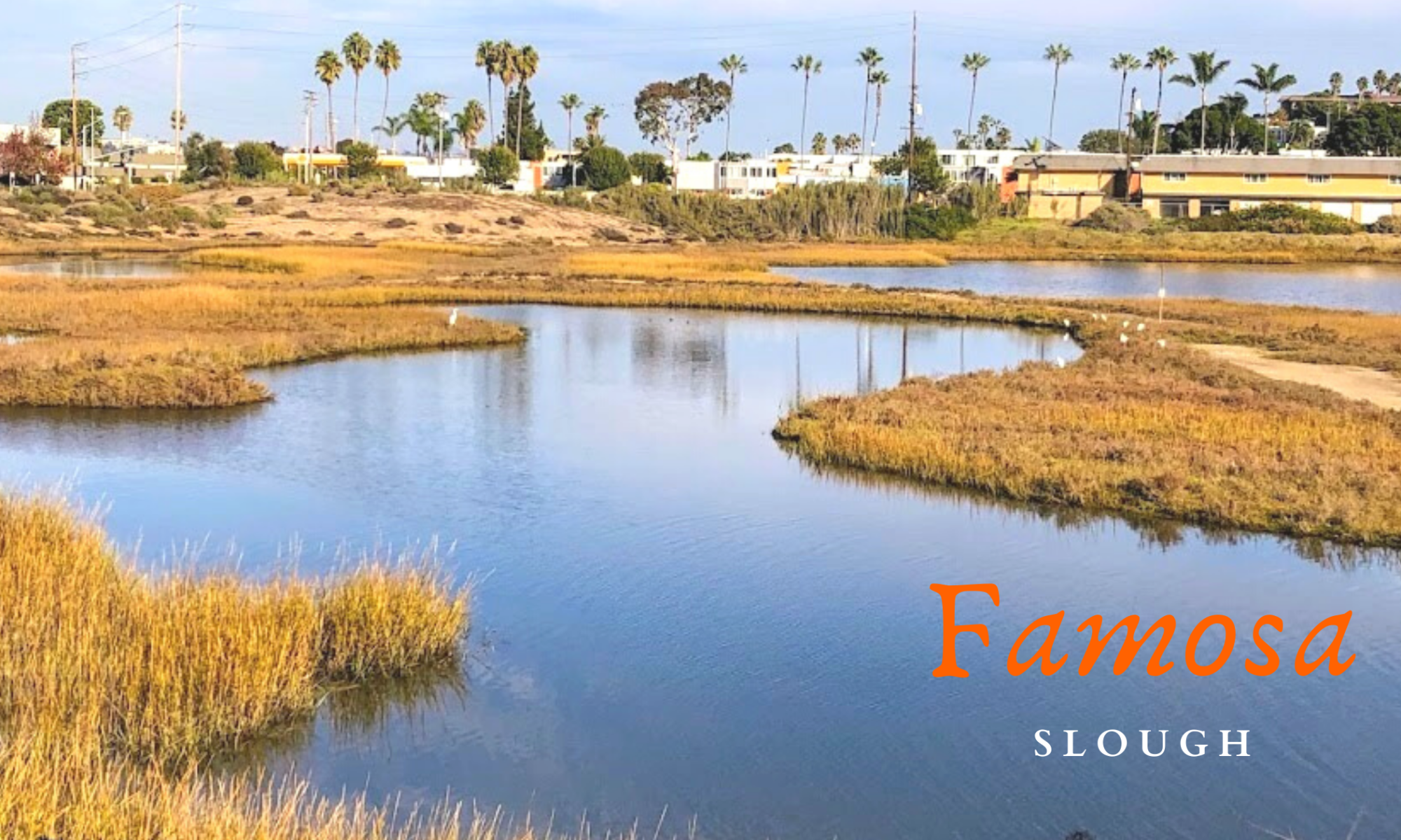
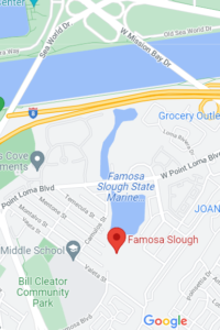
First and foremost, the Famosa Slough is a living wetland preserve and a Marine Protected Area, meaning nothing is to be touched or taken. It survives as a wetland by the tidal flow from the culvert pipes that connect it to the San Diego River Channel.

It consists of two sections: the Northern Channel, 12 acres, and the southern portion, 25 acres of mixed wetlands. The more south you go, the less saline the water.

I have been here four times and have written about Famosa Slough before, only concentrating on the southern section. Well, today, we explored both.

North Channel of Famosa Slough

famosa slough pano san diego saltmarsh

The North section connects to the San Diego River Channel north, with the southern portion just across the street.

Continue reading “A Few Plants at Famosa Slough”
Plants at the Beach-San Onofre

San Onofre State Beach May Trails Beach

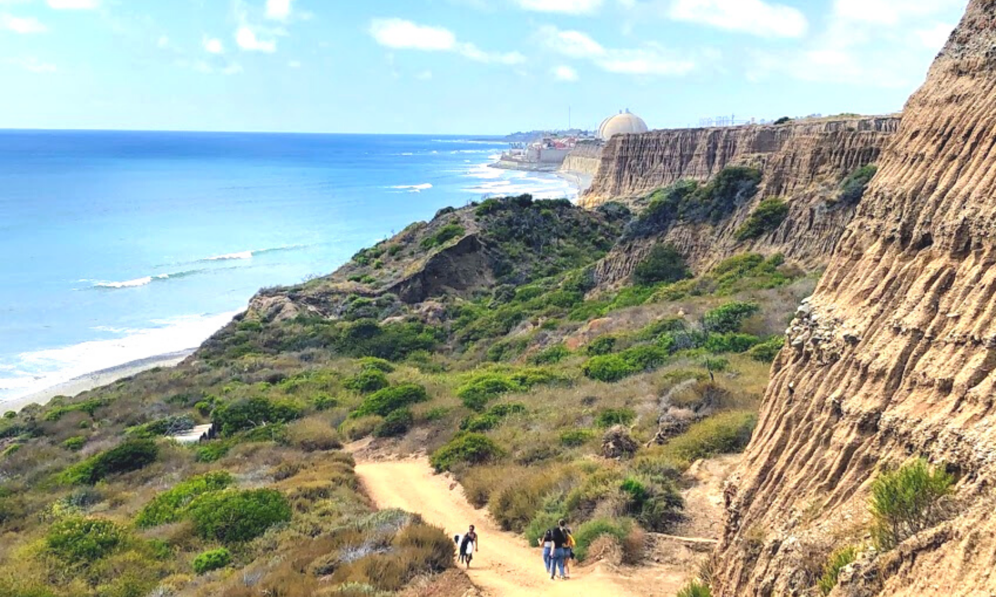
Boy, was I excited to finally go to the beach on May 24, 2020? Is anyone else happy to get out of their houses, too? I was so pleased to go to San Onofre State Beach twice a week. Because of the lockdown in California, I could not witness the beginning of the wildflower season. So my main objective on this first day back to the beach was to see as many plants as possible! The first time we headed to Trestles, and the following Friday, I explored the southern section, just under San Onofre Campground at Bluffs Beach (or Trails Beach). Below, I would love to share with you what I saw- all the plants at the beach I encountered.

Previous to this beach adventure, I had just finished a post on Southern California Native Plants. This post has documented all the plants and wildflowers I encountered in the scrub and Southern Oak Woodland behind my neighborhood during Lock-Down in 2020. After hours and hours of research, I sure learned a tremendous amount!

Plant Names Given by San Diego Native Inhabitants 

I have recently been fascinated with Native American uses of the native plants in the area (Ethnobotany), so I thought I would continue with the same format I followed for my previous native plant post.

The Kumeyaay people were the first known original inhabitants of San Diego, with meyaay translating to ‘those who face the water from a cliff.” (Click on the link to hear the correct way to pronounce Kumeyaay)

Continue reading “Plants at the Beach-San Onofre”

California Super Bloom at San Onofre

Trestles Beach April 2019 California Super Bloom

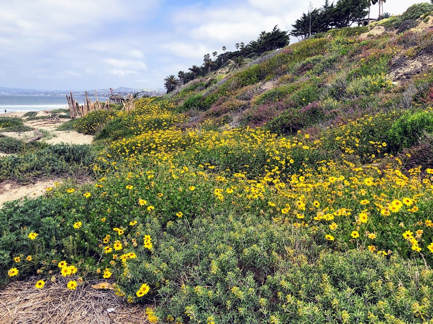
Over three weeks ago, I had the supreme pleasure of taking the opportunity to get out and see what was happening on the coast of North County, San Diego. Amidst all the rain we got this winter season, I was extremely excited to see how all the coast plants looked. Did the California super bloom affect the coast?

So I grabbed my backpack, filled it with plant ID books, my iPad, water, and sunscreen, and ran out the door. Well, maybe not running, but I was super excited!

My two daughters and I headed first to Trestles Beach Trail and afterward doubled back and explored Bluffs Beach at San Onofre State Beach. I have to say, what I saw, took my breath away.

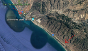
San Onofre State Beach Google Map
Trestles Beach Trail to the North- San Onofre Bluff Campground south

button map trestles beach trail google map

Ok, are you ready to check out all the San Onofre State Beach plants in North County, San Diego?

Continue reading “California Super Bloom at San Onofre”