Top Gun: Maverick Filming Locations in San Diego

Top Gun Maverick featured image

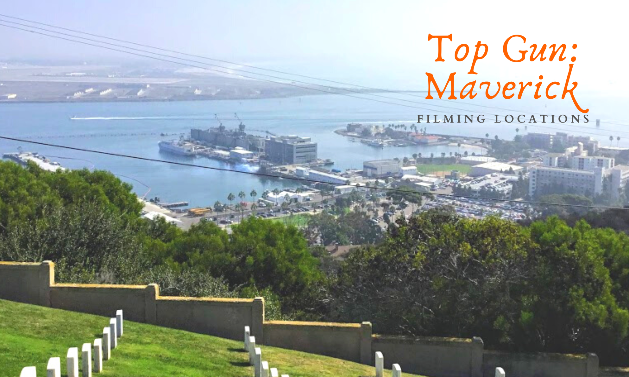
So a couple of nights ago, I watched Top Gun: Maverick for the second time, and I had a brilliant idea! I want to present a few filming locations where the movie was filmed around San Diego. I will also give you a few fun facts and a link to Google Maps, so maybe the next time you are in town, you can visit the locations yourself.

Top Gun-Naval Air Station North Island
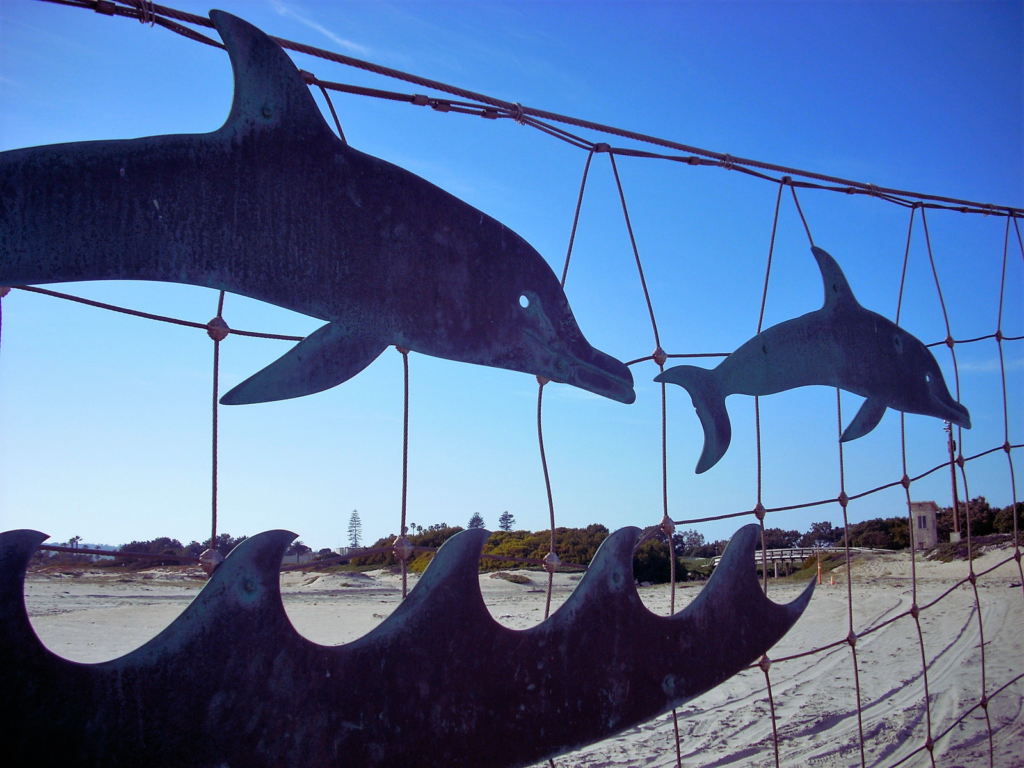
breakers beach coronado island san diego

Breakers Beach is a private military beach located on North Island, Coronado. I hate to break it to you, but that cute and intimate military bar is not close to the shoreline; that was just pure fantasy.

Continue reading “Top Gun: Maverick Filming Locations in San Diego”

San Diego Bay-A Photo Tour

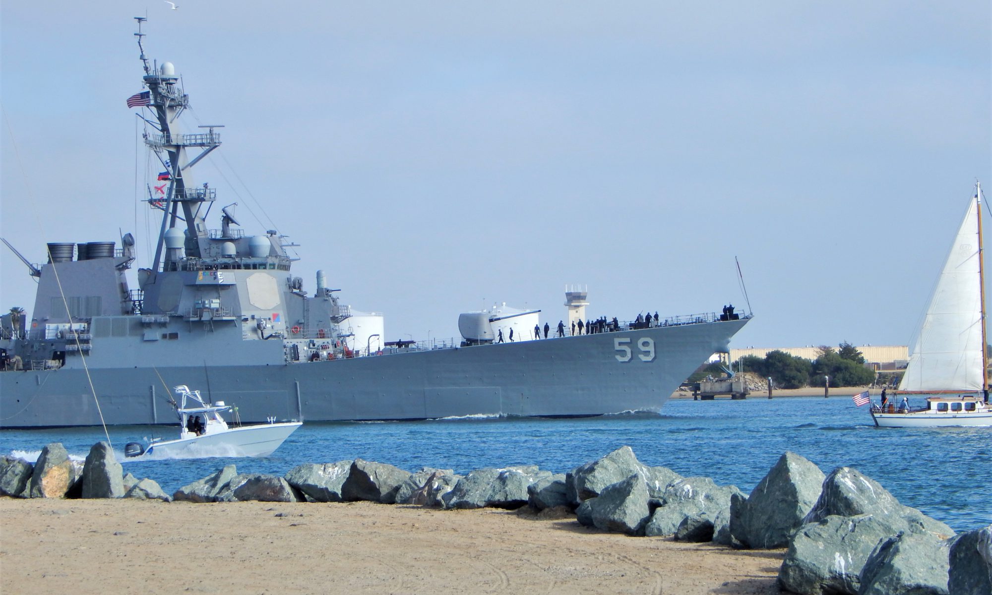
San Diego Bay Naval Ship Leaving

Today I would like to take you on a mini photo tour of San Diego Bay! Will you join me?

First off, fun fact.

Did you know that San Diego Bay was mentioned in the Treaty of Guadalupe Hidalgo in 1848?

 After the U.S-Mexican War, the Treaty (which is still in effect) pointed out that the entirety of San Diego Bay would belong to the United States.

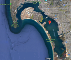
San Diego Bay Google Map Satellite

Discovering San Diego Bay Via Photos

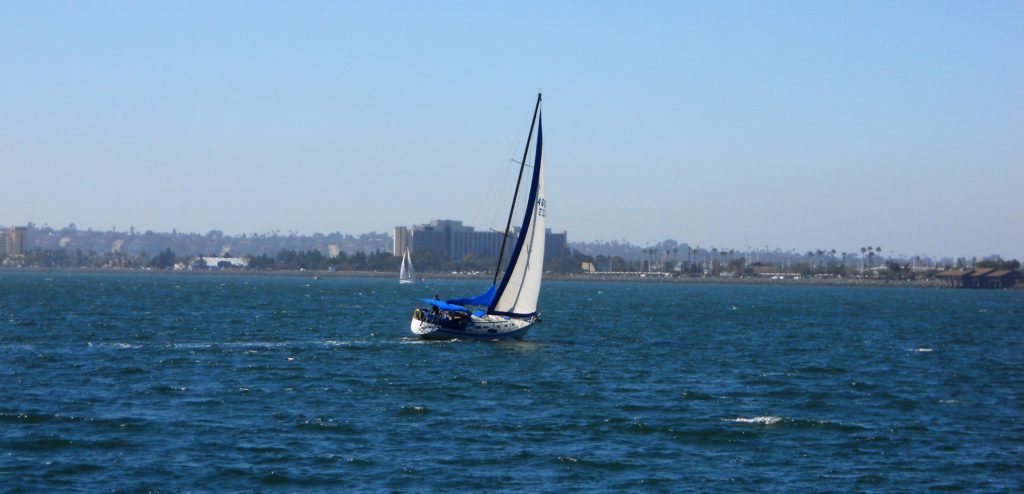
Sailing San Diego Bay

The San Diego Bay is a natural deepwater harbor found minutes away from Mexico and the United States border and is the third-largest Bay in California after San Francisco Bay and Humboldt Bay.

The San Diego Bay is over 12 miles long and 1-3 miles wide and is separated into two sections:

  1. North Bay-North Island, Shelter Island, Spanish Landing, Harbor Island, Coronado, Embarcadero
  2. South Bay -National City, Chula Vista, Silver Strand, Imperial Beach

So today, we will start our tour north at the mouth of the Bay. We will continue to make our way on the Bay’s east shore, going south and back north on the western coast of San Diego Bay.

Ready? Let’s go!

Continue reading “San Diego Bay-A Photo Tour”

Exploring Coronado Island San Diego CA

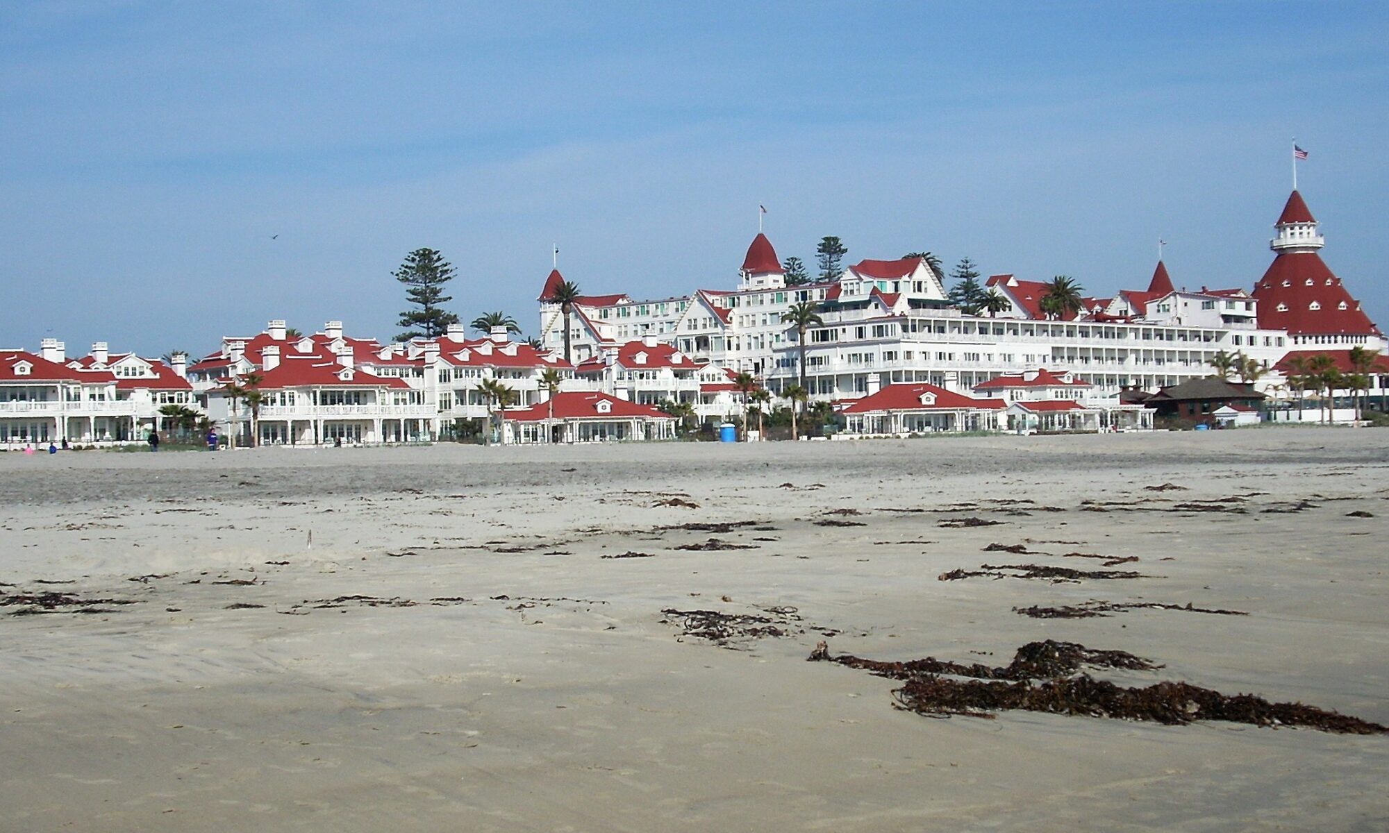
Hotel del Coronado Coronado Island San Diego CA
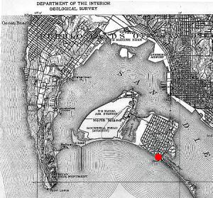
Map Coronado and North Island-1918
Map of Coronado-note the ‘small neck of land (The Silver Strand) toward the right corner of the map.

Every year, Coronado Beach makes the Top 10 beaches in the US. This beach is one of my children’s favorite, as well. Coronado Island in San Diego, CA, can be seen across San Diego Bay from Downtown San Diego.

In particular, we enjoy the vast sandy beaches and adore going to the Hotel del Coronado, located less than a mile from our starting point.

Would you like to tour Coronado Island in San Diego, CA? Well, you have come to the right place. Come and join me on an epic adventure, going back in time and staying in the present simultaneously!

Let’s go!

Continue reading “Exploring Coronado Island San Diego CA”