Why Did the Sea Lion Cross the Road?

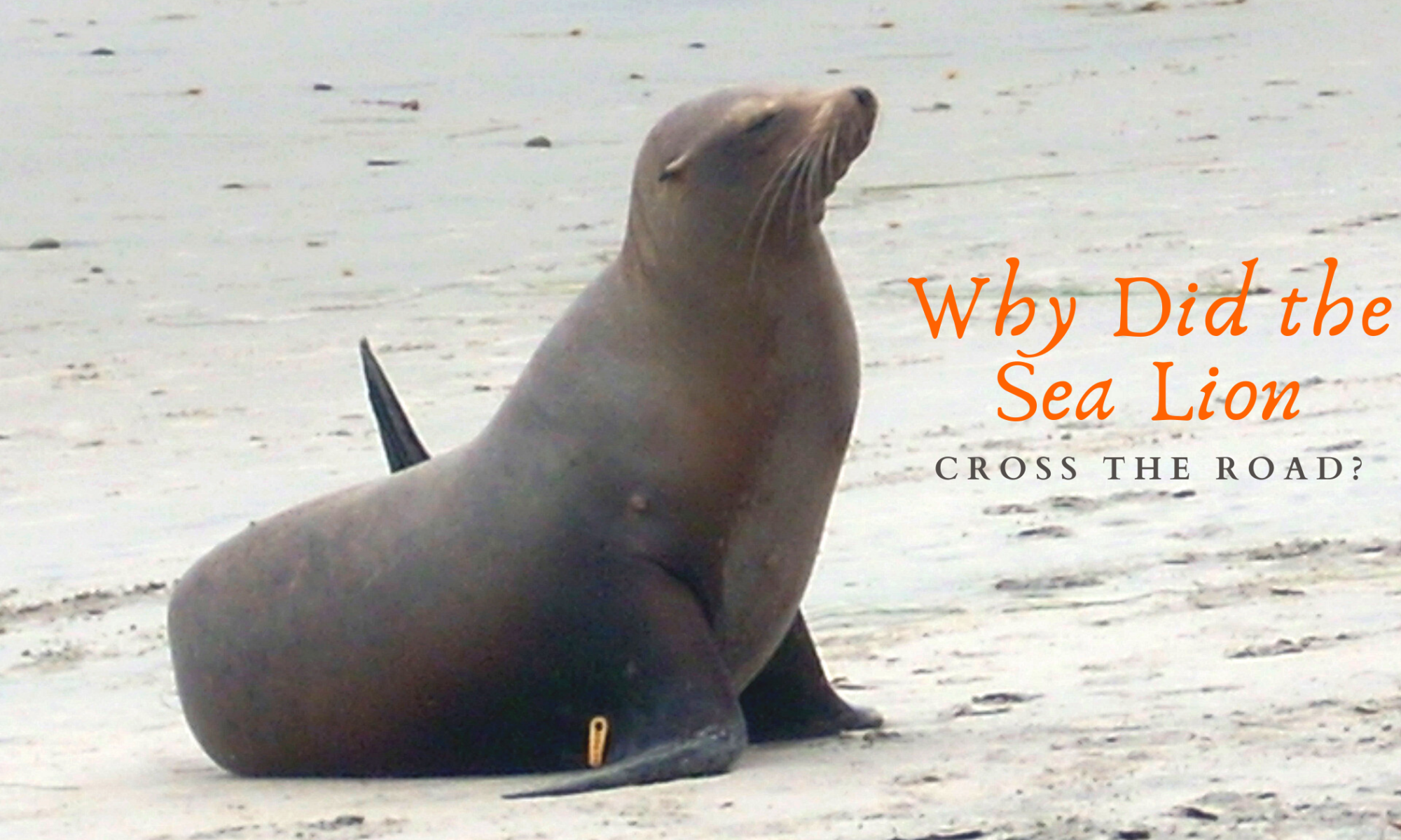
San Diego sea lion featured image

Have you heard the adage, “Why did the sea lion cross the road?” We can thank the Marco Polo California sea lion who took the world’s stage on January 7 ,” for doing just that! Are you ok if I refer to him as Marco Polo? What makes it even more interesting is that this isn’t the first time this particular sea lion has been caught exploring the streets of San Diego!

So, where has he been? How do you think he got on the freeway?

Hopefully, I will answer all of these questions for you and more!

More?

Yes! I have found several other examples of wandering sea lions in San Diego.

Let’s now look at where this sea lion has been seen in San Diego.
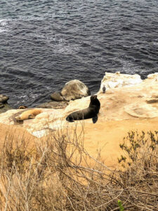
CA sea lion la jolla bluffs
This is not Him, just an example at La Jolla.

Hey, Is That a Sea Lion on the San Diego Freeway?
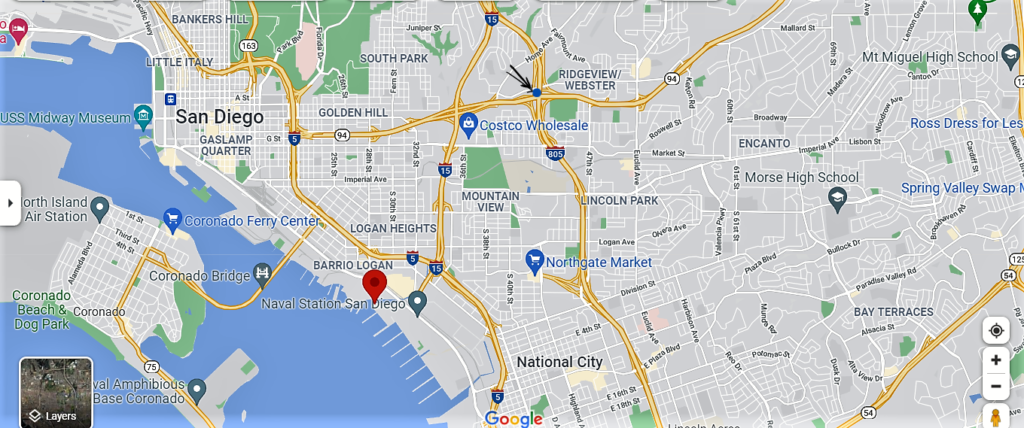
Cholla Creek Sea Lion google map

(The red marker is the mouth of Cholla Creek- see arrows for where he was seen on the freeway)

So on January 7, San Diego drivers on State Route 94 were in for a super surprise!

When?– January 7, 2022, at around 9:40 am; captured by 10:30 am

Where? The eastbound side of State Route (SR)-94, near Interstate (I) 15 and just west of Interstate (I) 805 (see map). Three miles from San Diego Bay and eight miles from the ocean

Josefine Jandinger was driving eastbound SR-94 just west of I-805 when she saw two people standing in the middle of the freeway, coaxing a 200-pound juvenile sea lion toward the median. She couldn’t believe what she was seeing. Josefine took the video down below.

Kudos to the couple who dared to exit their cars and help in any way possible. You are the true definition of heroes!

Continue reading “Why Did the Sea Lion Cross the Road?”

Walking Shoreline Park at Shelter Island

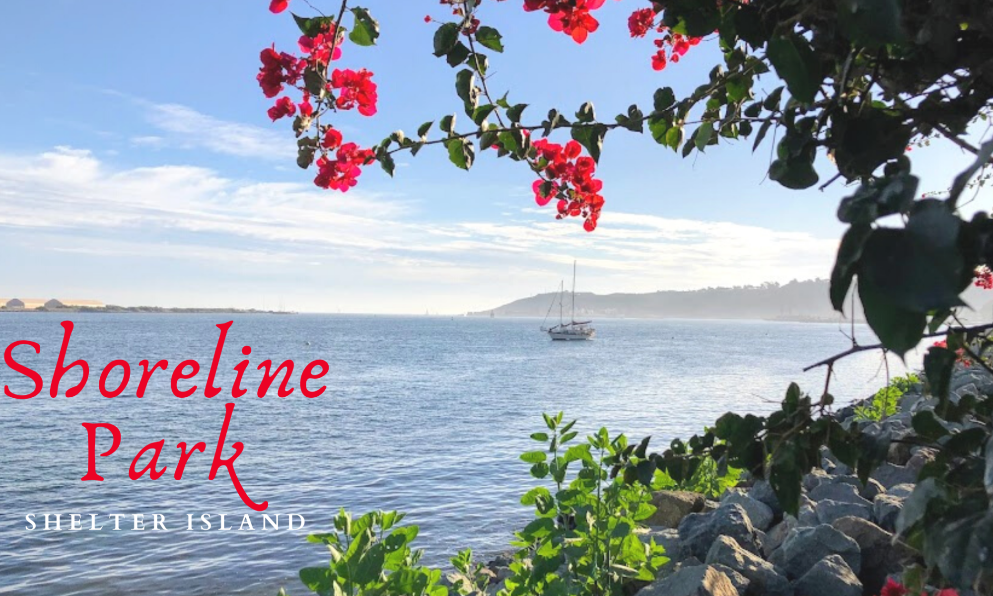
shoreline park featured image

As my girls and I walked around Famosa Slough on a clear November day, we realized that we still had a couple of hours before picking my husband up from work. So we decided to go to Shoreline Park on Shelter Island at San Diego Bay. We have been coming here for years!

I love to watch the boats in San Diego Bay. But there are so many other things to pay attention to over here, for instance, observing the jets take off and land over on Naval Air Station North Island/ Coronado or shorebird’s dive-bombing into the bay. On a clear day, you can see the Coronado Islands of Mexico (Islas Coronado.)

And how about the smells? There is nothing better than the crisp smell of saltwater, is there? I find it so refreshing!

The sounds here on Shetler Island are just as unmistakable: sea lions barking, the wind blowing through the trees, and the water lapping on the rocks after a large ship goes by. You might even hear the chattering of green parrots. Did you know that a flock of green parrots live here on Shelter Island? More on these lively parrots later.

Let’s now look at what we saw and offered here at Shoreline Park/ Shelter Island.

#Click on any small photo to see a larger version.

Exploring Shoreline Park in November

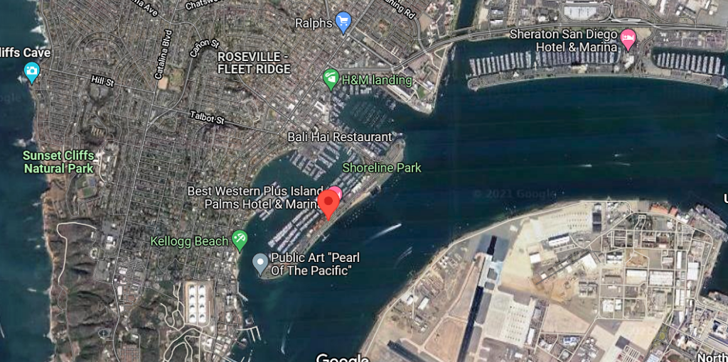
shoreline park shelter island google map

button map shelter island shoreline park

Shoreline Park is a narrow band that stretches for one mile on the bayside of Shelter Island. Dogs are welcome here but must be on a leash.

Continue reading “Walking Shoreline Park at Shelter Island”

A Few Plants at Famosa Slough

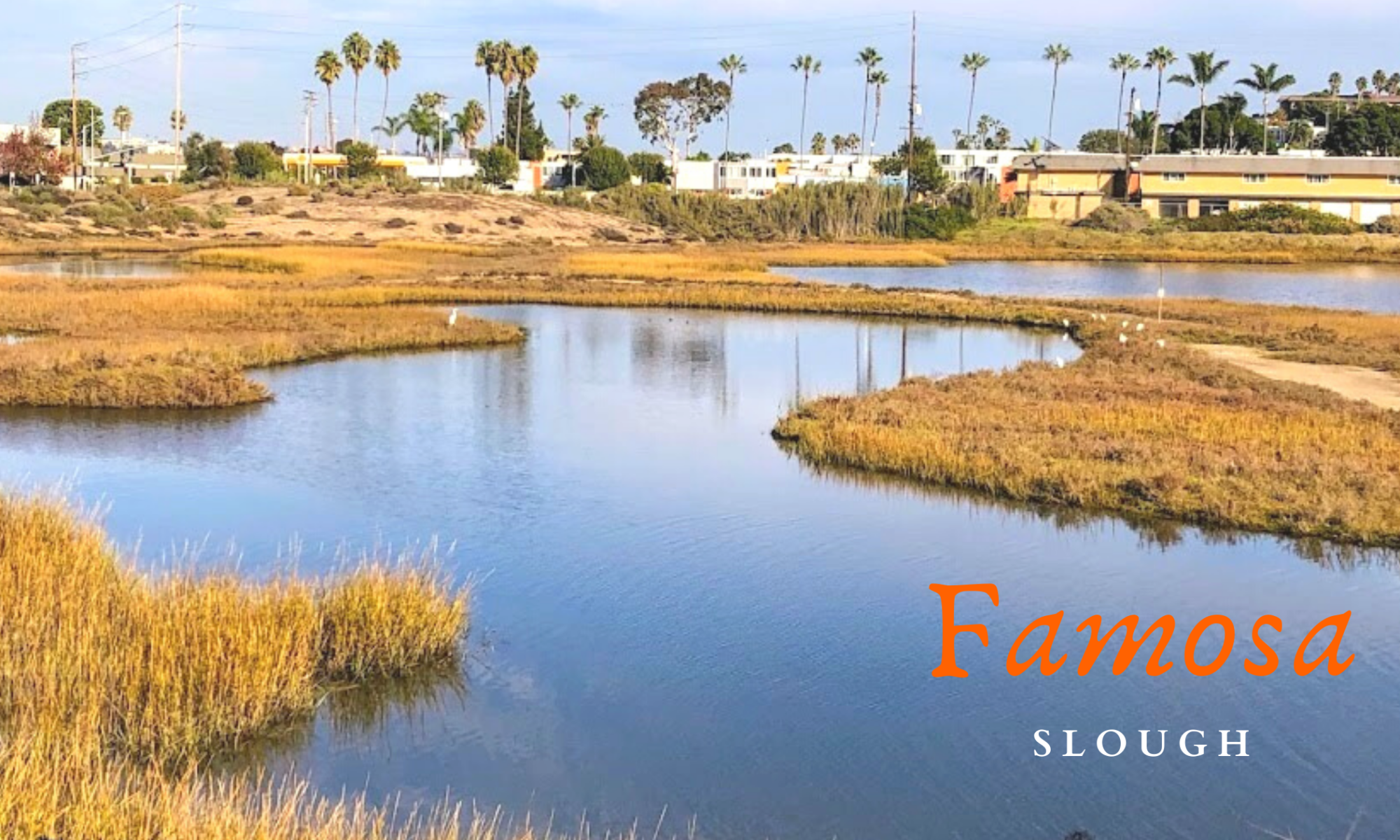
famosa slough featured image

Last month, on November 23rd, my girls went to Famosa Slough because I wanted to check out and see how the plants were doing. I knew that the toyon and buckwheat were in bloom, but what other surprises were we in for? I can tell you upfront that I saw my first California boxthorn bush! Have you ever seen one in the wild?

So today, I wish to keep things casual, seeing that I have written more in-depth about almost all of these plants.

Please see the links down below if you would like further information.

A Few Famosa Slough Facts

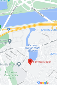
Famosa slough map google maps

button-map-Famosa-Slough-Google-Maps

First and foremost, the Famosa Slough is a living wetland preserve and a Marine Protected Area, meaning nothing is to be touched or taken. It survives as a wetland by the tidal flow from the culvert pipes that connect it to the San Diego River Channel.

It consists of two sections: the Northern Channel, 12 acres, and the southern portion, 25 acres of mixed wetlands. The more south you go, the less saline the water.

I have been here four times and have written about Famosa Slough before, only concentrating on the southern section. Well, today, we explored both.

North Channel of Famosa Slough

famosa slough pano san diego saltmarsh

The North section connects to the San Diego River Channel north, with the southern portion just across the street.

Continue reading “A Few Plants at Famosa Slough”

First Day Hikes 2022

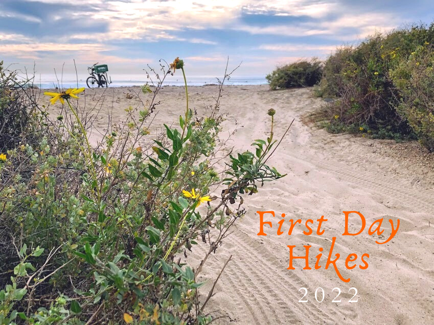
First Day Hikes 2022 Featured Image

Wow! I am so happy to write up this post in record time! You see, yesterday, I realized that the California State Parks uniquely celebrate the New Year. How is that, you may ask?
California State Park staff members, docents, and volunteers will show off the beauty and wonders of our gorgeous State Park system by leading the general public in First Day Hikes! Below is valuable information on each San Diego/ California State Park featured, plus a brief explanation of where and what is offered.
I will start north up at San Onofre State Beach and go south towards the California/Mexican Border.
It is supposed to be chilly on the coast today, with the high only 62 degrees, so please consider that!


First Day Hikes at San Onofre State Beach

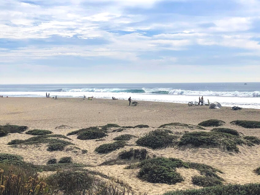
Trestles November sand dunes water surfers

Where – Trestles Beach Trailhead on Cristianitos Road/ El Camino Real

Time- 2 pm

Continue reading “First Day Hikes 2022”