San Diego Bay is the working harbor beside downtown San Diego, with a waterfront that connects visitor attractions, marinas, naval activity, public parks and sensitive wildlife habitat. The best way to explore it is to choose a manageable section, not attempt to follow the entire shoreline in one outing. A downtown walk, a park picnic and a sightseeing cruise offer different perspectives on the same bay.
Start by distinguishing it from Mission Bay, the separate recreational water area farther north. Fiesta Island and many familiar beach-bonfire locations belong to Mission Bay, not San Diego Bay. That distinction prevents a common navigation mistake when booking a boat trip or choosing a waterfront park.
Where is San Diego Bay?
The bay lies beside downtown and extends south toward the South Bay communities, with Coronado along its western side and the harbor entrance near Point Loma. The Port of San Diego manages a substantial public waterfront within this broader setting. Its official map is useful for choosing a park or attraction rather than relying on one generic “San Diego Bay” pin.
Not every shoreline segment is a public walking route. Naval facilities, working terminals, marinas and protected habitat interrupt the visitor waterfront. Plan around named public spaces and approved connections. A view of water beyond a fence does not establish a right of access.
The Embarcadero: a downtown starting point
The Embarcadero is a practical first choice if you want a walk, waterfront landmarks and nearby boat departures. Pick a defined start and end point and leave time to look around rather than treating the route as a race between attractions. A cruise ticket may require an earlier check-in than the departure time suggests.
Embarcadero Marina Park South, beside the convention-center area and The Rady Shell, is one Port-managed option. The Port lists benches, picnic tables, a fishing pier, exercise facilities and restrooms. Check current access and event information because a concert or organized activity can change how you use the surrounding space.
Shelter Island Shoreline Park
Shelter Island provides another perspective on the harbor. The Port describes a mile-long shoreline park with a public fishing pier, boat launch, picnic facilities and views across the bay toward the skyline. It can suit a slower outing when the goal is sitting near the water rather than covering downtown landmarks.
The Port lists both free and paid parking arrangements in the area. Follow current signs and its official parking information rather than assuming every space has the same rule. Fire rings and other listed amenities still require site-specific checks; city beach rules should not automatically be applied to Port property.
Coronado and South Bay waterfront choices
The Port's park directory includes Coronado Ferry Landing Park and Coronado Tidelands Park, along with parks in Chula Vista and other bayfront communities. These are separate destinations with their own approaches and facilities. Choose one based on where you are staying and what kind of outing you want.
A cross-bay view can be more useful than another long drive to a famous downtown spot. Check the particular park page for current facilities, hours and any permit requirements. If arriving by ferry or another service, confirm the live schedule and the exact landing rather than assuming a sightseeing cruise functions as transportation.
Getting on the water
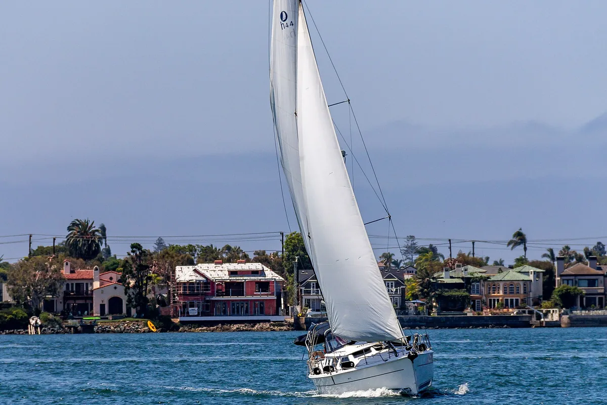
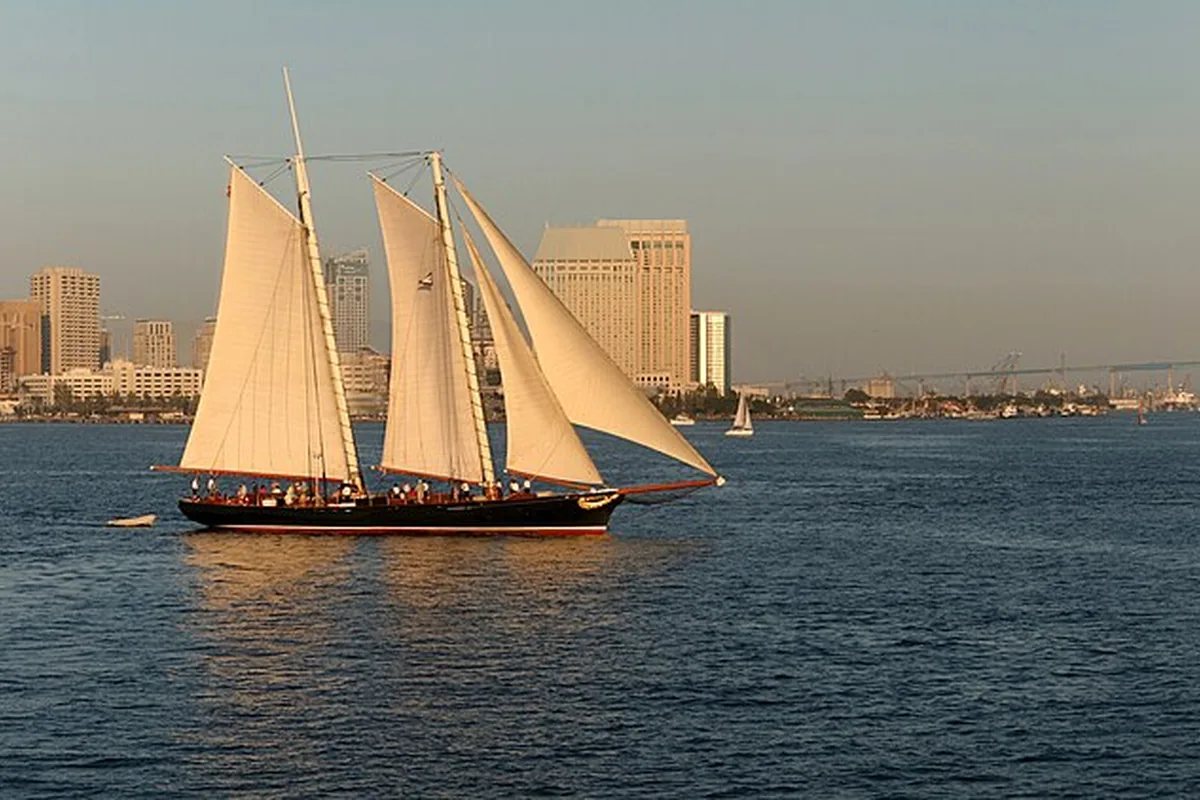
A narrated harbor tour is one way to understand the bay's geography. Dining cruises, sailing outings and private charters provide different experiences and should be compared on their own terms. Verify the route, duration, departure pier and accessibility of the actual vessel before booking.
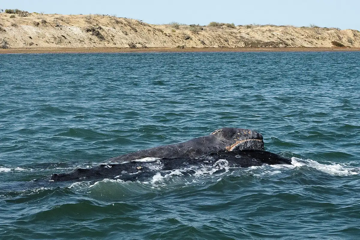
Our San Diego Bay cruises guide explains those distinctions. A harbor tour should not be confused with whale watching, which can involve ocean conditions and a longer wildlife-focused search. Choose the product that matches your group rather than relying on the word “boat.”
Wildlife habitat is not spare recreation space
The South San Diego Bay Unit of the national wildlife refuge includes salt ponds, levees and other important bird habitat. USFWS identifies opportunities for designated-trail visits while emphasizing that sensitive ponds and marsh areas are closed to general entry. Kayaks, paddleboards and other craft do not automatically have access just because water appears navigable.
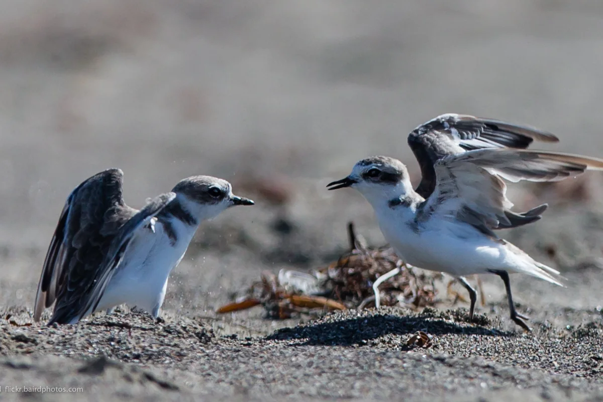
Watch birds from permitted routes and keep dogs and food scraps from disturbing them. If your interests include shorebirds, our snowy plover guide explains why apparently empty sand and resting areas still need space.
Planning details that make a difference
- Choose a specific park, pier or walking section before leaving.
- Check parking signs and current waterfront event information.
- Confirm restrooms and accessibility for the exact route you need.
- Use the appropriate land manager's rules for fires, dogs and gatherings.
- Bring water, sun protection and a layer for wind near the harbor.
The Port notes that some organized activities and larger gatherings require permits. A public park is not automatically available for any event setup. For an ordinary first visit, keep the plan simple: one waterfront section, a comfortable walking distance and time to watch the working harbor without blocking others or entering restricted areas.
Sources & further reading
Official information and references for this guide. Check the source for current access, rules and conditions.