San Diego beach water quality should be checked with the County's current beach-and-bay information, not by the color of the water or a photograph from yesterday. Start with SD Beach Info, identify the exact location and read the notice that applies. Then make separate checks for surf, tide, weather and public access. A beach can have acceptable water testing and still have hazardous waves or a closed entrance.
This directory links to official tools rather than reproducing a status that could become stale. Recheck close to departure and read signs on arrival. If online information and an on-site closure differ, do not use the online page as permission to go around the barrier.
Beach and bay water quality: County of San Diego
The County's water-quality map lists monitored coastal and bay locations and current water-contact notices. Choose your actual beach section, not simply the nearest city. Conditions at one point should not be assumed to apply to every beach across a neighborhood or around a bay.
Read the difference between an advisory, warning and closure in the County's current guidance. The County's tiered action chart explains that notices reflect different combinations of test results and contamination information. The safe response is to follow the notice, not reinterpret a colored marker to fit a planned swim.
After rain: do not use a timer as clearance
County guidance advises avoiding ocean and bay water contact during and for at least 72 hours after rainfall because runoff can carry contamination. Pay special attention near storm drains, rivers and lagoon outlets. Clear skies after a storm do not show whether the water is suitable for contact.
The 72-hour guidance does not override a continuing local notice. A closure or advisory may remain after that period, and a separate contamination event can occur without recent rain. Check the County's rain and water-quality guidance as well as the live location information.
Tides: NOAA's La Jolla station
For predicted high and low tides near La Jolla, use NOAA station 9410230. Set the date and verify the displayed time zone. Read whether a chart shows predictions or observed water levels; those are related but not identical products.
A low-tide prediction helps plan an outing, but it does not show wave run-up, a blocked route or the condition of a stairway. Do not use one station's tide table as an exact, universal description of every bay and beach in the county. For boat navigation or a location-specific need, select the appropriate NOAA information and current chart.
Surf, weather and coastal hazards: National Weather Service
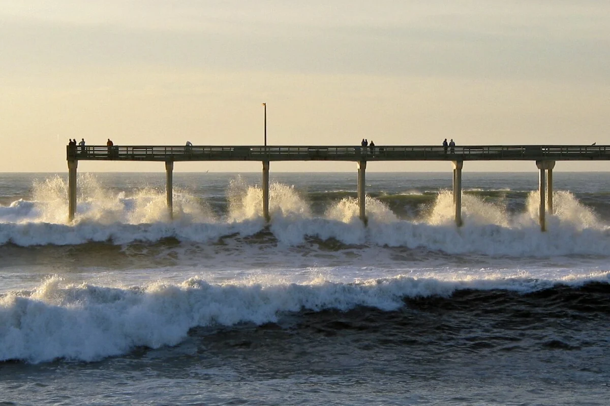
The National Weather Service San Diego office is the starting point for local forecasts and hazard products. Look for the beach or marine information relevant to the activity you intend. A mild air-temperature forecast does not tell you whether the ocean has dangerous surf or currents.
Read any high-surf, coastal-flooding or marine notices in full, including their timing and affected area. Our winter waves guide explains why a quiet interval can be misleading. If the forecast is unsuitable, choose another day or an inland activity rather than looking for an unofficial access that remains unblocked.
Lifeguards, beach rules and access
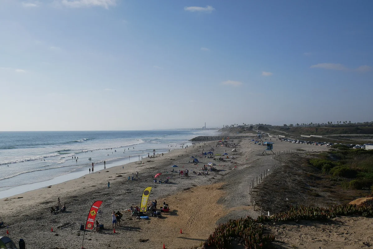
The City's beach amenities and regulations page covers topics including lifeguard stations, swimming zones, seasonal dog restrictions and boardwalk rules. Check the manager for the beach you actually choose: state, city, county and federal sites do not all share identical regulations.
On arrival, ask lifeguards about current conditions and follow their directions. Year-round staffing at a permanent station does not mean every nearby tower is staffed all day. For state parks, use the park's own alert page for closures, trail status, gate information and current fees.
Shellfish safety is a different check
If you are considering collecting clams or other shellfish, consult the California Department of Public Health's shellfish advisories and recreational advisory map. A swimming notice and an eating-safety notice answer different questions. Neither supplies the fishing rules for a species or site.
For those rules, use CDFW's current invertebrate regulations and the relevant marine protected area map. Our San Diego clam guide explains why identification, legal take and food safety must all be resolved before harvesting.
Wildlife schedules and webcams
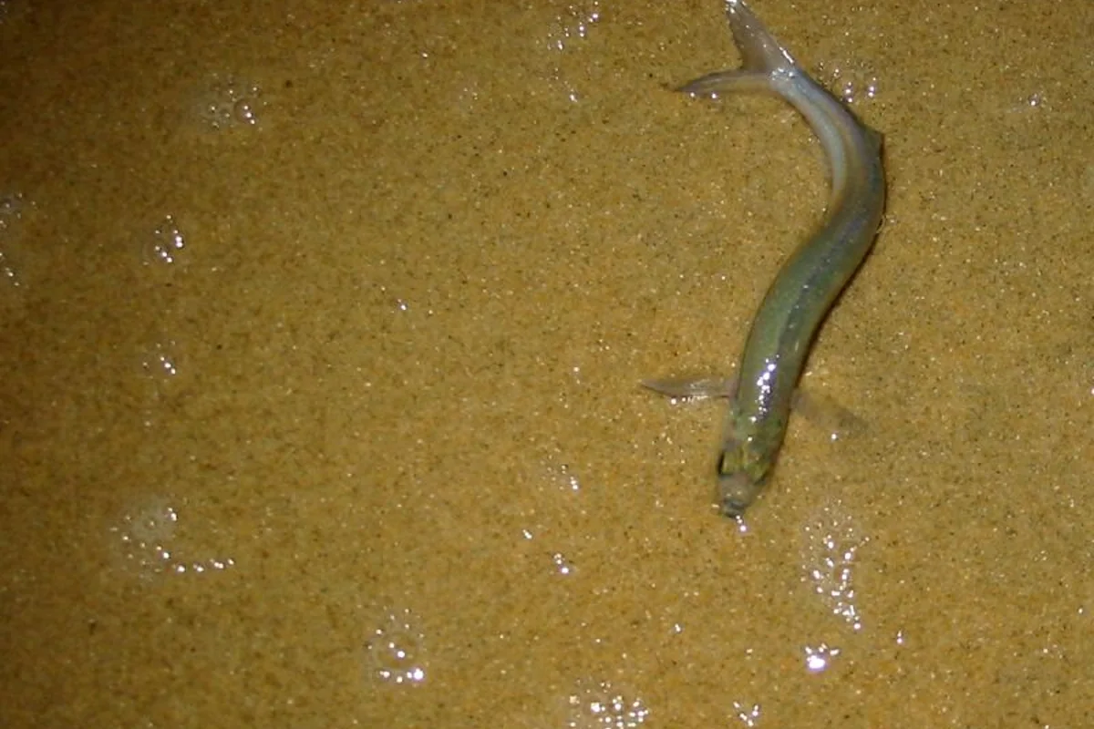
Use CDFW's grunion-run schedule for dated forecasts and seasonal take restrictions. It predicts possible run windows, not guaranteed fish at a named beach. Confirm nighttime access separately.
A webcam can show one view at one moment, but it cannot establish water quality, a safe tide-pool route or legal opening status. Check the image timestamp and treat it as a supplement. A camera angle may hide the very channel, bluff edge or access stairway that matters to your outing.
A five-minute pre-trip checklist
- Identify the exact destination and the agency managing it.
- Read its current access notices and parking instructions.
- Check County water quality if water contact is possible.
- Check the relevant NOAA tide information and NWS forecast.
- Save the return route and choose a backup before leaving.
For a specific outing, return to the beaches guide, hiking guide or boating guide. Good coastal planning uses several small checks together; no single tide number, camera image or weather icon can do the whole job.
Sources & further reading
Official information and references for this guide. Check the source for current access, rules and conditions.
- County of San Diego beach water quality
- County water-quality action tiers
- County rain and water-contact guidance
- NOAA La Jolla tide predictions, station 9410230
- National Weather Service San Diego
- City beach regulations and lifeguards
- CDPH shellfish advisories
- CDFW current invertebrate regulations
- CDFW grunion forecast